Bartram/Chattooga River Trails (Sandy Ford to Russell Bridge)
Chattahoochee National Forest
Chattooga River District
9975 Highway 441S
Lakemont, GA 30552
706 754-6221
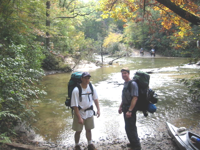
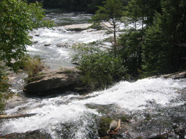
The Chattooga River begins in the mountains of North Carolina as small rivulets, nourished by springs and abundant rainfall, high on the slopes of the Appalachian Mountains. The water drops a half mile in elevation over fifty miles as it winds its way to Lake Tugaloo where the river ends between South Carolina and Georgia. The Chattooga is one of the few remaining free-flowing streams in the Southeast, and the setting is primitive with dense forests and undeveloped shorelines on most of its route. The Chattooga River Trail is a forty mile route that borders the states of North Carolina, South Carolina, and Georgia and follows the banks of the Chattooga National Wild And Scenic River from Burrell’s Ford to US 76. Congress designated the river on May 10, 1974 and it is often used by kayakers, hikers, backpackers, and fisherman as it winds from the North Carolina mountains to Lake Tugaloo. The Chattooga River Trail shares its pathway with both the Foothills and Bartram Trails in the Russell Bridge area, but it stays close to the river for its entire distance unlike the other major southeastern trails.
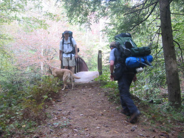
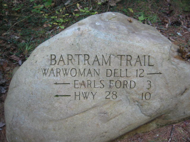
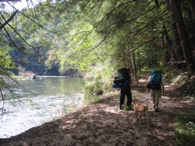
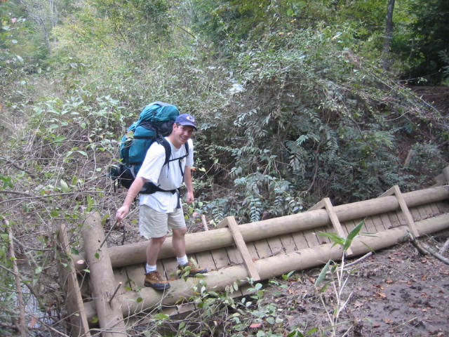
The Bartram and Chattooga River Trails share this route from Russell Bridge to Sandy Ford Road for 9.4 of the 9.5 miles on this hike. Just 0.1 miles from Sandy Ford Road, the Chattooga River Trail splits from the Bartram Trail and heads southbound along the river. The Bartram Trail bears westward and heads deeper into Georgia and on into North Carolina. Most of this hike is along the Chattooga National Wild And Scenic River and it is this lower section that is featured in the 1972 movie called Deliverance where a young Burt Reynolds and three other canoeists flee the City of Atlanta for a wilderness adventure on the water. There are numerous campsites along the Chattooga in this section, and there is a short side trail near Sandy Ford Road to the scenic Dicks Creek Falls. This waterfall makes a spectacular sixty foot plunge into the river, although it is best seen from either a kayak, canoe or raft on the Chattooga.
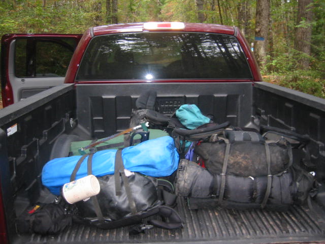
- click for more photos from this backpacking trip along the Chattooga River: October 9, 2004
- click for a detailed trip report from this hike starting at Russell Bridge: October 9, 2004 (password required)
- click for a trip report of this backpacking trip starting at Russell Bridge: October 9, 2004 (password required)
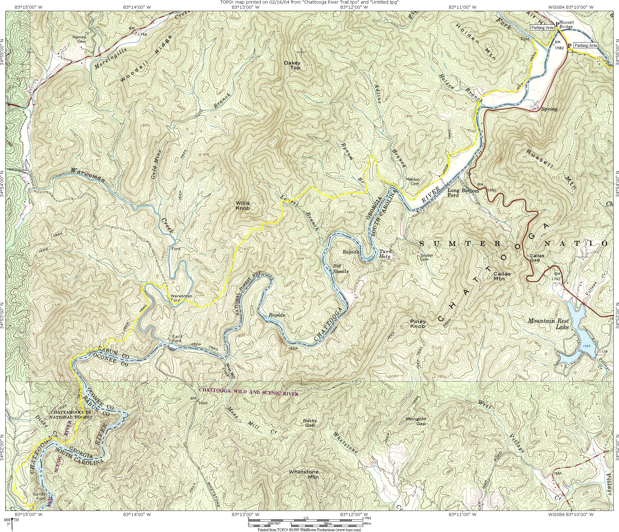
- click for a topographical map of this section of the Chattooga River Trail
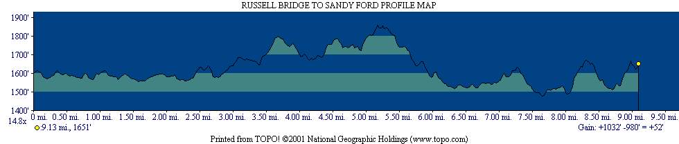
- click for a detailed map and profile map of this hike on the Georgia side of the Chattooga (password required)
- click for a trail map of the Chattooga River from Russell Bridge to Sandy Ford (password required)
- click for more information on the Chattooga River Trail
- click for Chattooga River Trail hiking and backpacking books
- click for The Chattooga National Wild And Scenic River guidebook which has details on this destination
- click for other Georgia hiking and backpacking books
- click for other hikes on the Chattooga River Trail in Georgia