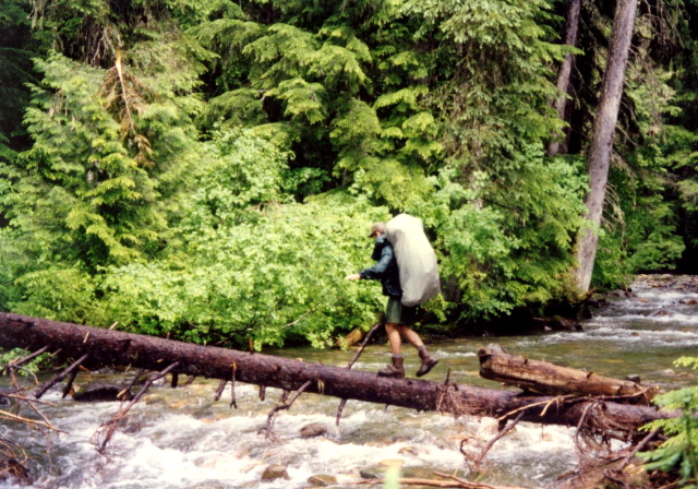
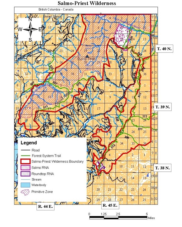
Salmo River
Colville National Forest
Sullivan Lake Ranger District
12641 Sullivan Lake Road
Metaline Falls, WA 99153
(509) 446-7500
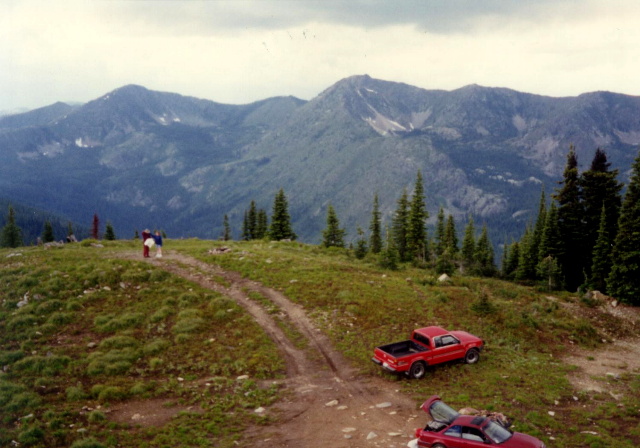
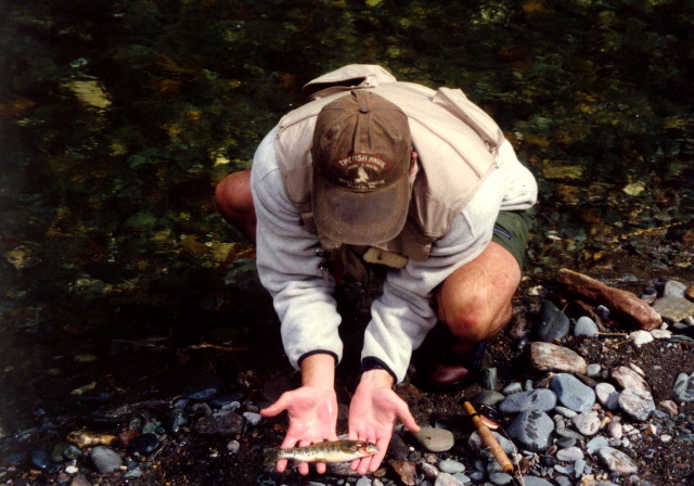
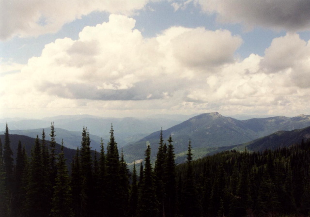
The Colville National Forest disproves the widely held notion that Washington State lies flat east of the Cascade Mountains. These million acres in the northeast corner roll like the high seas. Three waves of mountains run from north to south, separated by troughs of valleys. These ranges — the Okanogan, Kettle River, and Selkirk — are considered foothills of the Rocky Mountains. The Salmo-Priest Wilderness offers a spot where hikers can see all kinds of wildlife and few people. Located on the wet, west slopes of the Selkirk Mountains, this wilderness contains huge old red cedar, Douglas fir, and western hemlock. Living in the old growth and in the meadows and crags above are grizzly and black bear, cougar, caribou, elk, deer, lynx, pine marten, and wolverine.
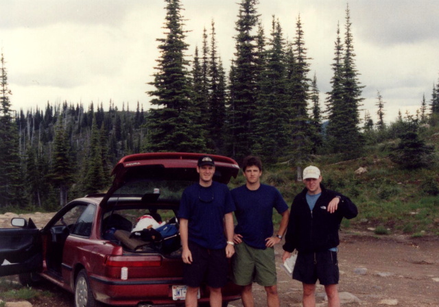
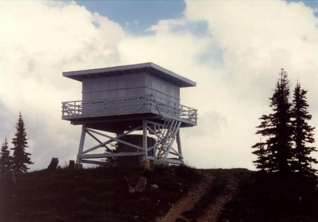
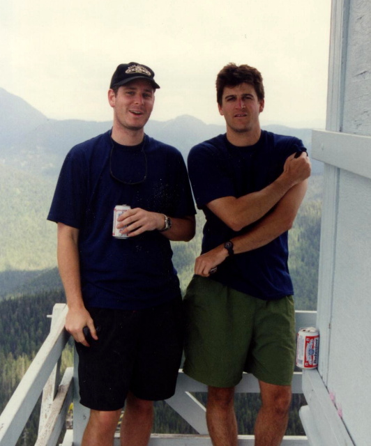
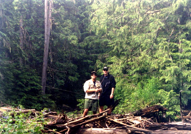
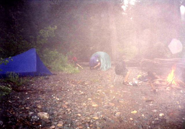
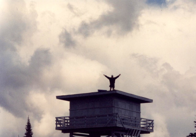
We hiked the Salmo Basin Trail and planned an 18 mile loop with the Salmo and Shedroof Divide Trails (which is called the Salmo Loop). The hike dips briefly into Idaho, and there is a fire tower at Little Snowy Top which makes a nice side hike. Unfortunately, the rains had their way with us, and we decided to cut the trip short. Regardless, this is a worthwhile backpacking trip for those that seek solitude, wildlife, and great views. Unfortunately, the rains had their way with us, and we decided to cut the trip short.
- click for a video of our cross-country road trip during the summer of 1998
- click for a podcast Episode 14 about our cross-country road trip in the summer of 1998
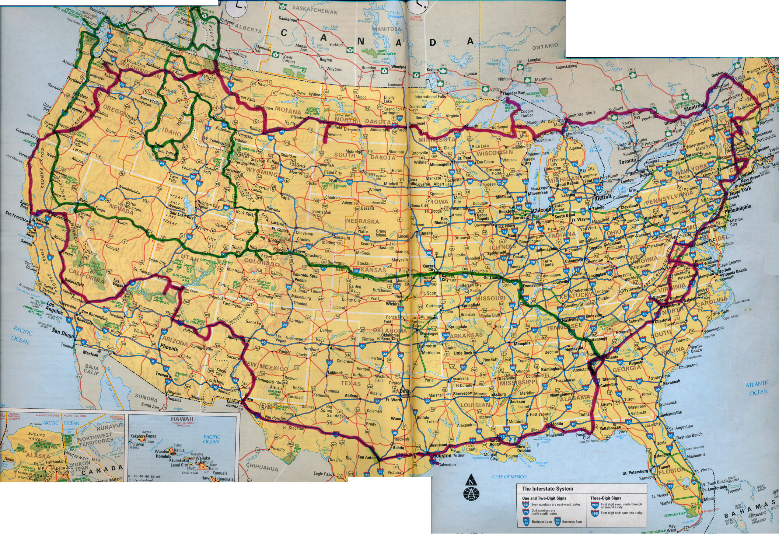
- click for a map of our cross-country routes in the summer of 1996 (red line) and 1998 (green line)
- click for more photos from this hike in the Salmo-Priest Wilderness: July 3, 1998
- click for a trip report from this backpacking trip to the Salmo River: July 3, 1998 (password required)
- click for a Daytimer report from this backpacking trip on the Salmo Basin Trail (password required)
- click for a Backpacker Log for this hike to the Salmo River: July 3, 1998 (password required)
- click for a topo and profile map of this hike in the Salmo-Priest Wilderness (password required)
- click for a trail map of this hike to the Salmo River (password required)
- click for more hikes to the Salmo River, Gunsight Pass, Cape Alva, Velma Lake, and Buckskin Pass in July 1998
- click for hikes to Rim Lake, Bradley Lake, Hellroaring Canyon, Fish Lake, and Bench Lake in June 1998
- click for the guidebook Hiking Washington for more hikes in this area
- click for more hikes in the State of Washington