Cape Alava
Olympic National Park
600 East Park Avenue
Port Angeles, WA 98362-6798
(360) 565-3130
(800) 833-6388

Olympic National Park is a stunning and diverse national park located in Washington State on the Olympic Peninsula. Covering nearly 1 million acres, it is unique for its incredible variety of ecosystems, including rugged coastlines, temperate rainforests, and glaciated mountains. The park is designated as a UNESCO World Heritage Site and an International Biosphere Reserve due to its ecological significance. It is located in Northwestern Washington, about 2-3 hours from Seattle. There are over 600 miles of trails in the park ranging from easy nature walks to challenging mountain routes.
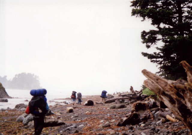
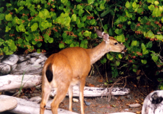
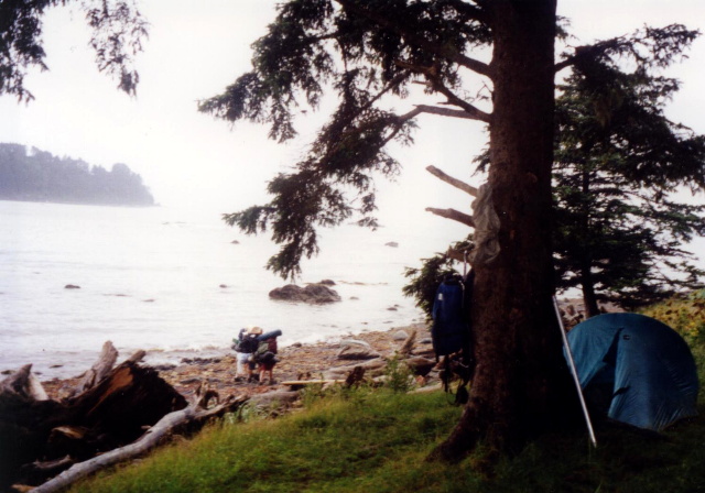
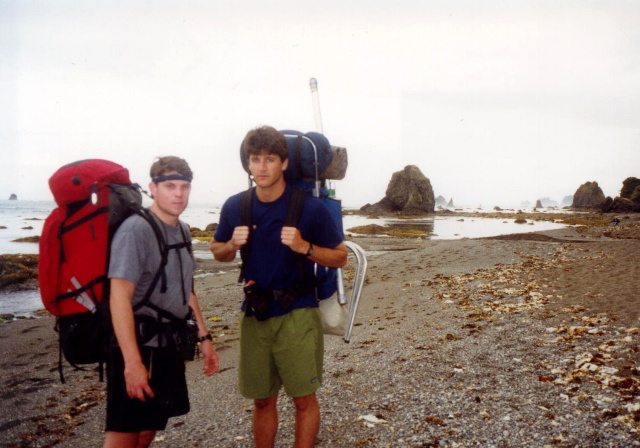
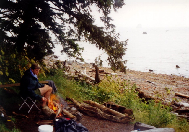
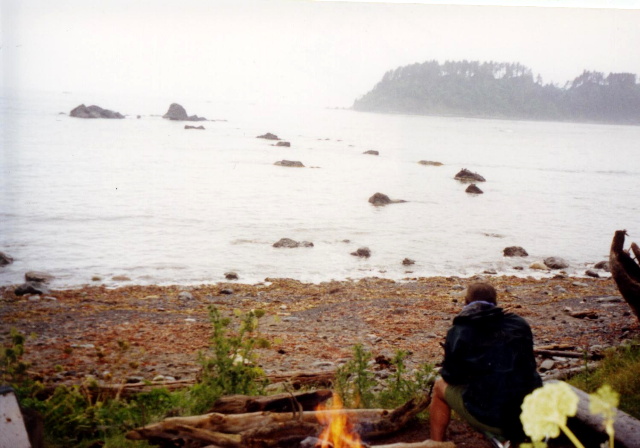
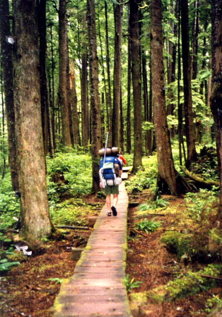
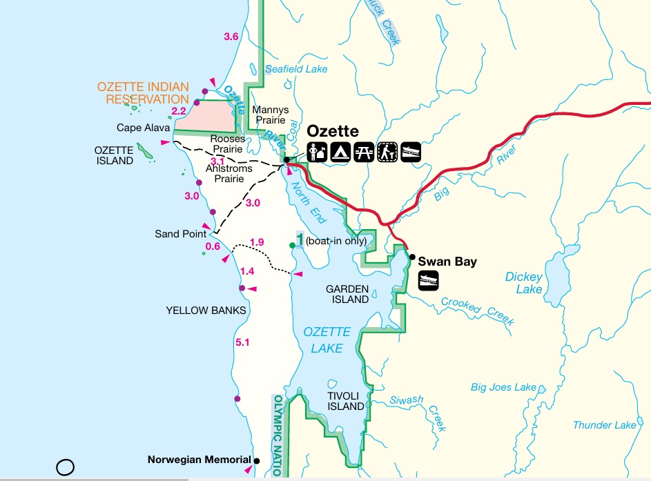
The park is often referred to as “three parks in one” since Olympic National Park encompasses three distinctly different: ecosystems‑rugged glacier capped mountains, over 60 miles of wild Pacific coast and magnificent stands of old-growth and temperate rain forest. These diverse ecosystems are still largely pristine in character (about 95% of the park is designated wilderness) and are Olympic’s gift to the hiker. The park is also known for its biological diversity. Isolated for eons by glacial ice and the waters of Puget Sound and the Strait of Juan de Fuca, the Olympic Peninsula has developed its own distinct array of plants and animals. Eight kinds of plants and five kinds of animals are found on the peninsula and live nowhere else in the world. The Ozette-Cape Alava-Sand Point loop is a shore hike along the Washington coast. The views of the ocean, cliffs, headlands, islands, and sea stacks provide a unique experience. There is little elevation change on this hike so it is relatively easy, and there is a surprising amount of wildlife along the coast.
- click for a video of our cross-country road trip during the summer of 1998
- click for a podcast Episode 14 about our cross-country road trip in the summer of 1998
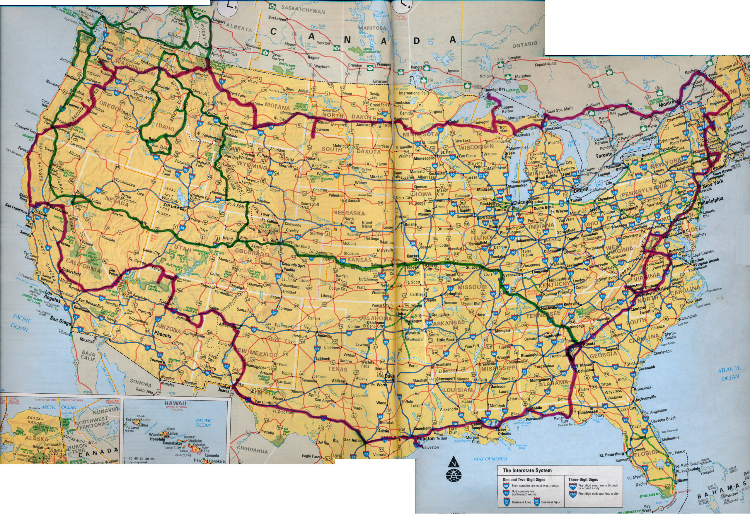
- click for a map of our cross-country routes in the summer of 1996 (red line) and 1998 (green line)
- click for more photos from this hike in Olympic National Park: July 15, 1998
- click for a detailed trip report from this backpacking trip along the Pacific Coast: July 15, 1998 (password required)
- click for a Daytimer report from this backpacking trip in Olympic National Park (password required)
- click for a Backcountry Log from this hike to Cape Alava: July 15, 1998 (password required)
- click for a park map of Olympic National Park
- click for a trail map of this loop hike from the Ozette Ranger Station
- click for a topo and profile map of this hike on the Pacific Coast (password required)
- click for more hikes to the Salmo River, Gunsight Pass, Cape Alva, Velma Lake, and Buckskin Pass in July 1998
- click for hikes to Rim Lake, Bradley Lake, Hellroaring Canyon, Fish Lake, and Bench Lake in June 1998
- click for the guidebook Hiking Washington for more hikes in this area
- click for more hikes in the State of Washington