Appalachian Trail #6 (BRP Mile 51.7 to Mau-Har Trail)
Appalachian Trail Conservancy
799 West Washington Street
Harpers Ferry, WV 25425
(304) 535-6331

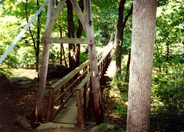
The Appalachian Trail between Punchbowl Shelter and the Mah-Har Trail covers roughly 40 miles of classic central-Virginia AT terrain, stretching from the James River valley up through the long ridges of the Blue Ridge Mountains and into the high country around Three Ridges and The Priest. Leaving Punchbowl Shelter and nearby Blue Ridge Parkway at mile 51.7, the trail trends north toward Lynchburg Reservoir and begins a long, gentle descent to the James River, where hikers cross the river on the James River Footbridge—the longest pedestrian-only bridge on the AT. From the James River, the trail climbs steeply for several miles up to Fuller Rocks on Bluff Mountain, an area with big views and Civil War–era history. The path continues along the ridges through classic mixed hardwood forest, passing spots like Hog Camp Gap, the meadows near Cow Camp Gap, and the wilderness feel of the Mt. Pleasant region.
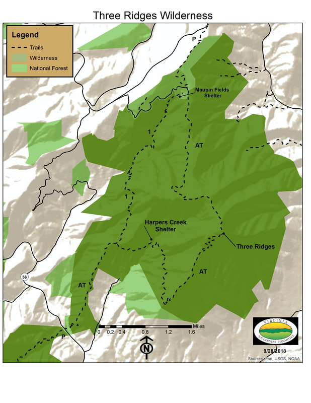
As the AT progresses northward, the terrain becomes more dramatic: after passing Spy Rock which is a unique dome shaped formation that was once used by Confederate soldiers to watch Union troops during the Civil War. From Spy Rock, the AT climbs The Priest, a major 4,063-foot summit with one of the steepest descents on the entire Virginia AT. From The Priest, the AT descends four miles and 3100 feet to the Tye River (920 feet) and then meets the blue-blazed Mau-Har Trail just before Three Ridges, a rugged, rocky highland with multiple overlooks and the popular Maupin Field Shelter nearby.
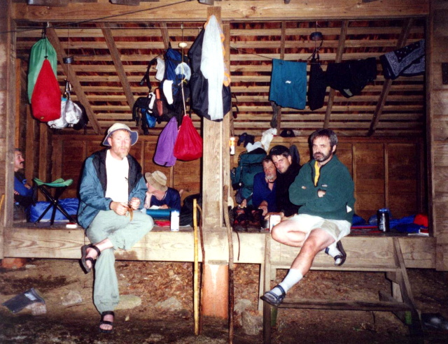
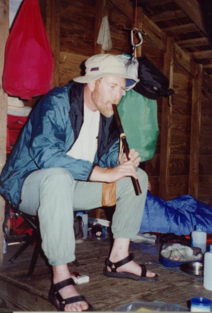
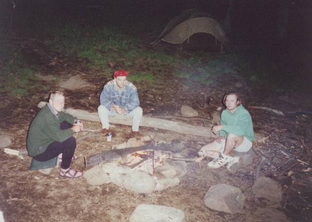
- click for more photos from this backpacking trip in the Jefferson National Forest: June 2, 1996
- click for a Daytimer report from this hike in Central Virginia: June 2, 1996 (password required)
- click for a topo and profile map of the A.T. from the Tye River to Reeds Gap (password required)
- click for a trail map of the Three Ridges Wilderness (password required)
- click for a topo and profile map from the Three Ridges Loop (password required)
- click for an overview map of the Appalachian Trail in Virginia (password required)
- click for a movie with commentary on BirdShooter’s 1994 A.T. thru-hike (long film produced 1996 ~39 min)
- click for a day-by-day summary of BirdShooter’s 1994 Appalachian Trail thru-hike
- click for a map of the entire Appalachian Trail
- click for a summary of the 2000+ mile Appalachian Trail
- click for recommended books, videos and games about the Appalachian Trail
- click for more hikes in the State of Virginia