Appalachian Trail #1 (TN/VA Border to Rhododendron Gap)
Appalachian Trail Conservancy
799 West Washington Street
Harpers Ferry, WV 25425
(304) 535-6331
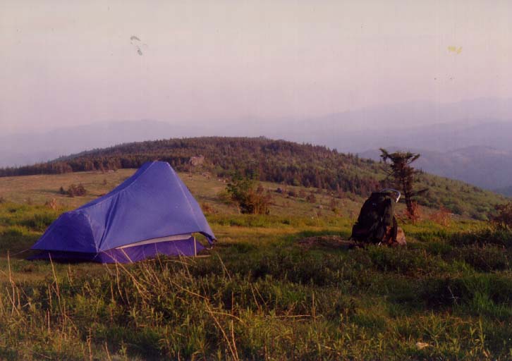
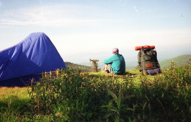
The State of Virginia has 550 miles of the Appalachian Trail which includes 23 miles along the Virginia/West Virginia border. The terrain varies significantly in the state with elevations ranging from 600 to over 5000 feet, and approximately 25% of the nearly 2200 miles of the Trail are located here. Hiking is relatively easy in the Northern part of the State but is very difficult particularly in the Southwestern and Central sections leading up to the Shenandoah National Park. Although areas like the Mount Rogers National Recreation Area attract many day and overnight hikers, Southwestern Virginia is by far the most remote section in the State. Mount Rogers at 5,729 feet is the highest mountain in Virginia and it is located on a short 0.4 mile side trail. The mountain is home to the northernmost Fraser Firs on the Appalachian Trail, but there are no views from the summit.
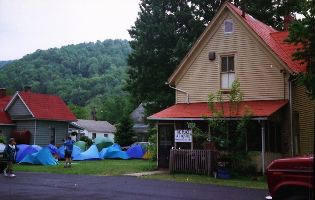
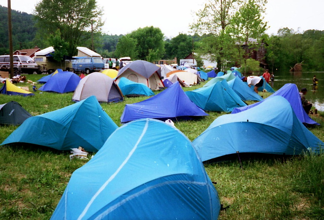
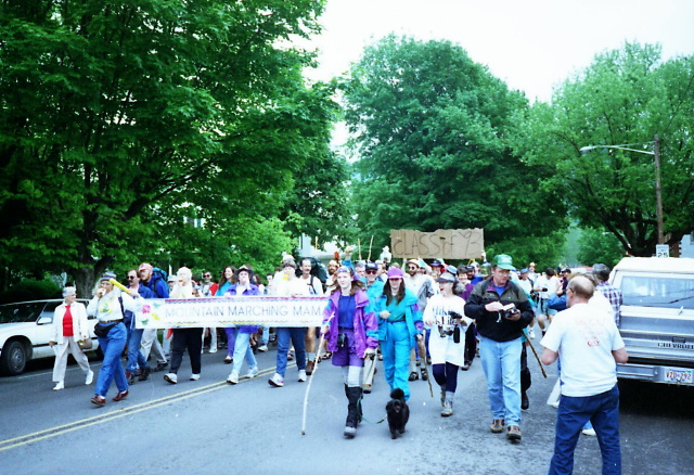
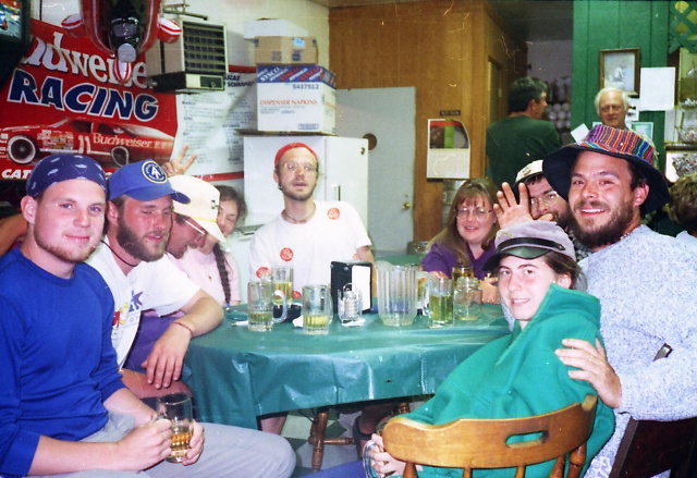
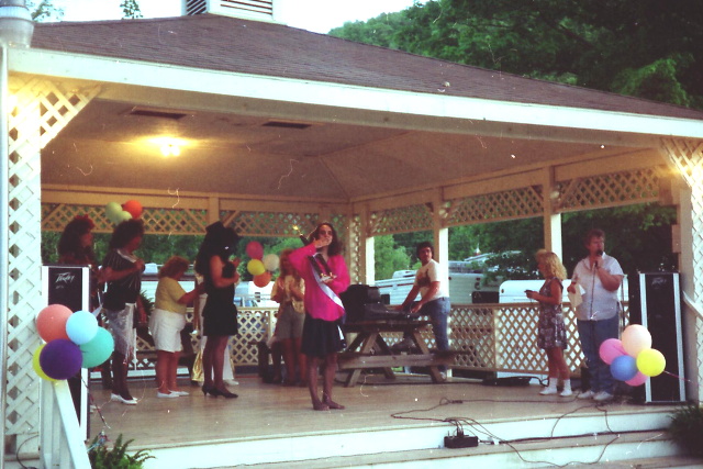
Wild ponies still wander the area surrounding Mount Rogers in the vast meadows of the Grayson Highlands State Park. Combined with the Mount Rogers National Recreation Area, this area offers some of the best backpacking in the Southeastern U.S. Damascus, VA is located nearby and the Trail passes right through the center of town. It is said to be the “friendliest town on the Appalachian Trail” and every year an annual festival called “Trail Days” is held here during the second weekend in May.
- click for a short video slideshow of my 1994 hike on the Appalachian Trail
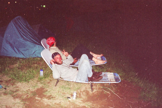
- click for more photos from this backpacking trip through Mt. Rogers: May 28, 1994
- click for a Daytimer report from my thru-hike during May 1994 (password required)
- click for a journal entry from BirdShooter’s thru-hike of the A.T. in Virginia: May 28, 1994
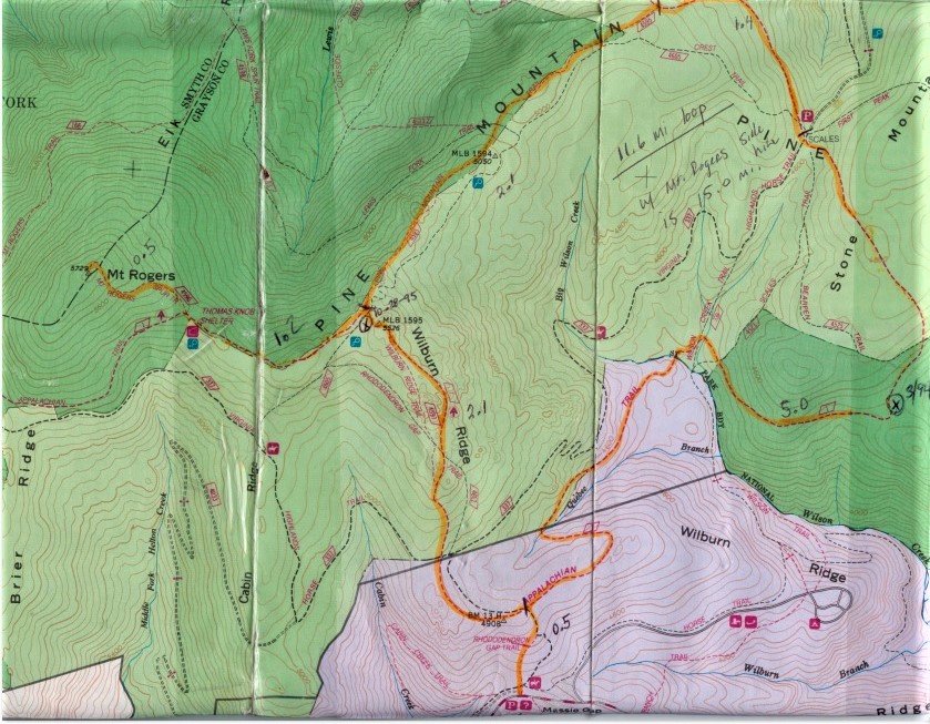
- click for a topographical map of the Appalachian-Pine Mountain Loop
- click for a topo and profile map of a loop hike in this area with a side trip to Mount Rogers (password required)
- click for a video from a summer trip to Grayson Highlands State Park in August 2021
- click for more backpacking trips in the Grayson Highlands in August 1993, March 1994, October 1995, August 2021
- click for the guidebook Hiking Virginia for more hikes in the State
- click for Virginia hiking and backpacking books
- click for more information on the Appalachian Trail
- click for Appalachian Trail hiking and backpacking books