Appalachian Trail #6 (VT 12 to Connecticut River)
Appalachian Trail Conservancy
799 West Washington Street
Harpers Ferry, WV 25425
(304) 535-6331
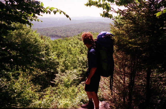
The Appalachian Trail in this section heads north through rolling, forested terrain from Vermont Route 12 near Woodstock/Bridgewater toward the New Hampshire border at the Connecticut River. This short section is considered easier than the high Green Mountain stretches in Vermont to the south with gentler grades, lower elevations, and fewer prolonged climbs. The trail passes through mixed hardwood forests and quiet rural countryside with the Happy Hill, Thistle Hill, and Bloodroot Mountain Shelters spaced along the way. While views are limited, the walking is often pleasant and much less rugged, – making this a transitional segment between Vermont’s mountainous spine and the river valley at the state line.
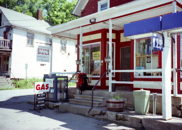
The trail A.T. descends into the Upper Valley near Norwich, Vermont, and Hanover, New Hampshire and approaches the Connecticut River near the Vermont boarder. The Trail crosses farmland, woods, and suburban edges before reaching the river crossing near Ledyard Bridge and the Dartmouth College campus. This section is notable for its pastoral character and proximity to services, with easy access to towns, hostels, and resupply options. Overall, it provides a gentler finish to Vermont hiking and a distinct change in atmosphere as hikers leave the Green Mountains and enter the Connecticut River valley and the start of New Hampshire’s more rugged White Mountains that are north on the trail.
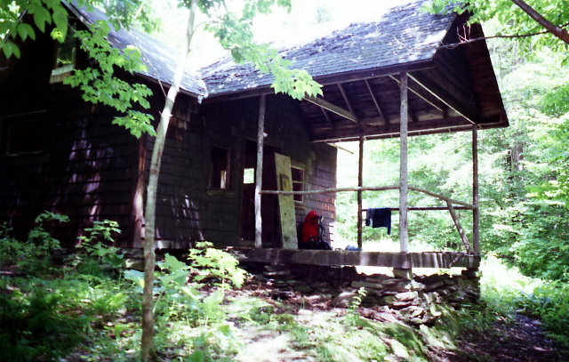
- click for more photos from this hike on the A.T. in Vermont: June 27-28, 1996
- click for a Daytimer report from this hike on the Appalachian Trail: June 27-28, 1996 (password required)
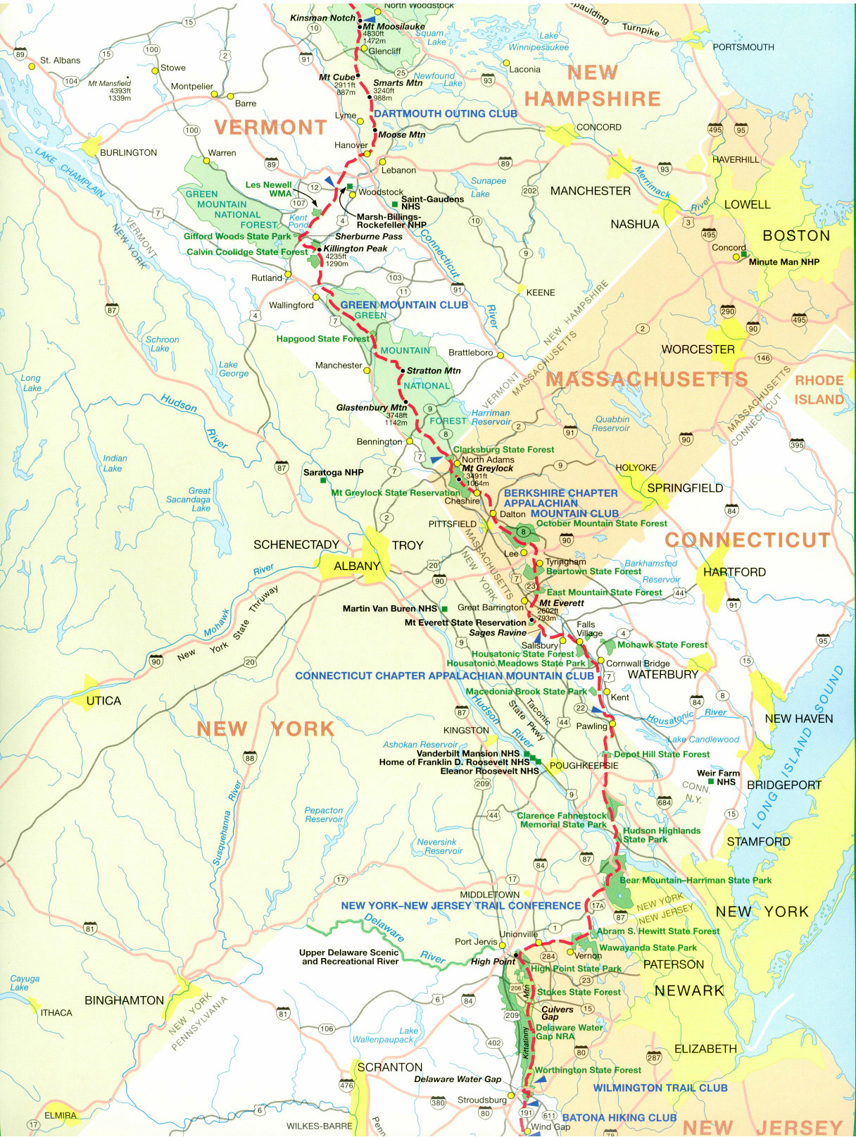
- click for a trail map of the Appalachian Trail in Vermont
- click for a trail map of the entire ~2200 mile Appalachian Trail
- click for the guidebook Appalachian Trail: New Hampshire – Vermont for more hikes in this area
- click for a hike on the previous section of the A.T. in Vermont
- click for Appalachian Trail hiking and backpacking books
- click for more information on the Appalachian Trail
- click for more hiking and backpacking trips in the State of Vermont