Appalachian Trail #5 (Killington Peak to VT 12)
Appalachian Trail Conservancy
799 West Washington Street
Harpers Ferry, WV 25425
(304) 535-6331
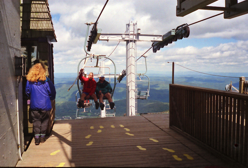
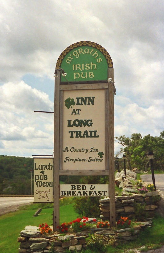
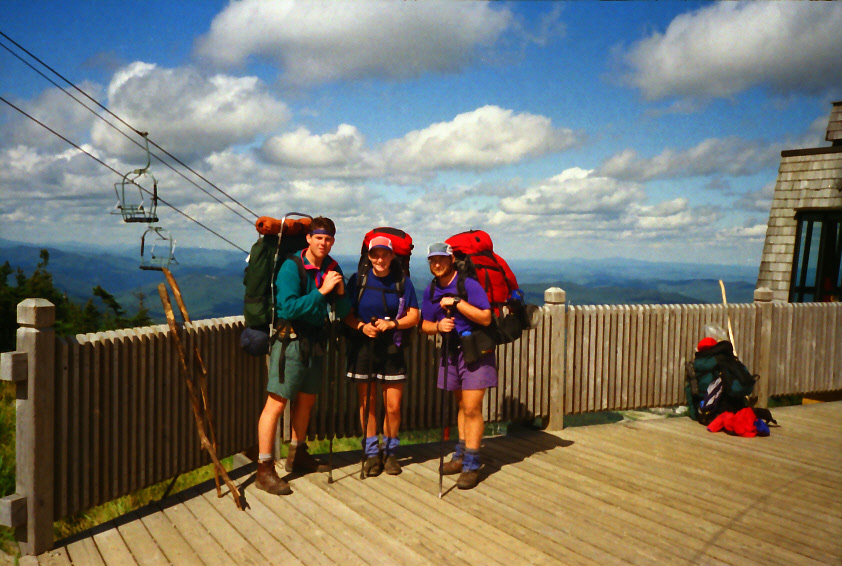
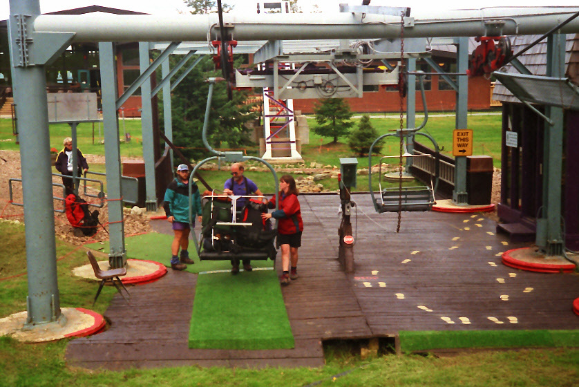
This section of the Appalachian Trail descends from one of Vermont’s highest and most developed summits at Killington Peak (4,241 feet) into much quieter and forested terrain. The trail is roughly 30–32 miles long and features a mix of ski-area crossings, wooded ridges, and remote valleys. After passing the Cooper Lodge and descending from Killington’s alpine ski terrain, the trail heads north past Mendon Peak and into the Breadloaf Wilderness, where the landscape becomes more rugged and less developed. Shelters such as Governor Clement Shelter, Sunrise Shelter, and Skyline Lodge (historically notable and now often used as a backcountry camp) provides overnight options. The terrain here is moderately challenging, with steep ascents and descents, rocky treadway, and frequent mud which is typical of central Vermont. In the 1990’s the A.T. ran through Pico Camp, the Pico Peak Ski Area, Sherburne Pass, and the Long Trail Inn which was built in 1939. The trail has been relocated since and no longer goes by what is said to be Vermont’s first ski lodge.
At Vermont Route 12, the trail descends toward the Ottauquechee River valley near Woodstock and Bridgewater, transitioning into lower-elevation hardwood forest and more settled landscapes. VT 12 is a major road crossing and is an access point for hikers with nearby towns offering services and resupply. This stretch offers fewer sweeping views than the high peaks but delivers classic Appalachian and Long Trail forest hiking with a mix of wilderness solitude, ski-area infrastructure, and historic backcountry shelters. It serves as a bridge between the rugged central Green Mountains and the gentler, more rolling terrain that follows northward toward Norwich and Hanover, New Hampshire.
- click for a short video slideshow of my 1994 thru-hike on the Appalachian Trail
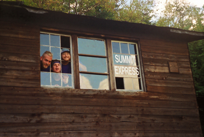
- click for more photos from this hike on the A.T. in Vermont: August 29-September 1, 1994
- click for a Daytimer report from this section of the A.T. in Vermont (password required)
- click for a trail journal from my thru-hike through Vermont (password protected)
- click for a day-by-day summary of BirdShooter’s 1994 Appalachian Trail thru-hike
- click for hikes on the previous and next sections of the A.T. in Vermont
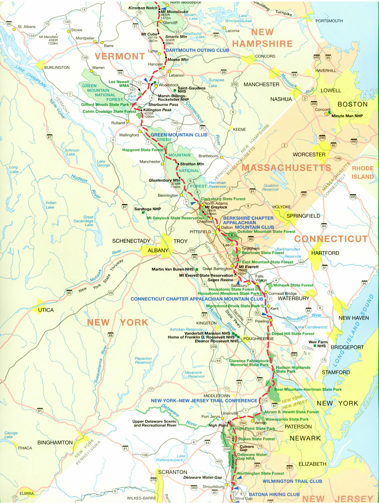
- click for a trail map of the Appalachian Trail in Vermont
- click for a trail map of the entire ~2200 mile Appalachian Trail
- click for the guidebook Appalachian Trail: New Hampshire – Vermont for more hikes in this area
- click for Appalachian Trail hiking and backpacking books
- click for more information on the Appalachian Trail
- click for more hiking and backpacking trips in the State of Vermont