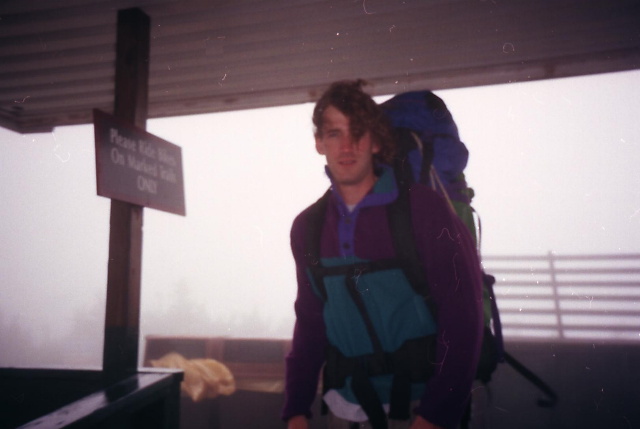
Appalachian Trail #4 (VT 103 to Killington Peak)
Appalachian Trail Conservancy
799 West Washington Street
Harpers Ferry, WV 25425
(304) 535-6331
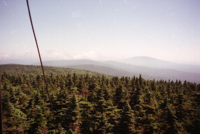
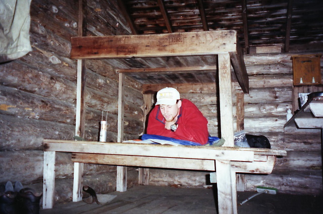
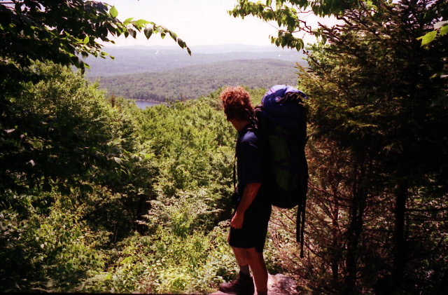
The Appalachian Trail (along with the Long Trail) heads north from Clarendon Gorge at VT 103 into increasingly rugged terrain as it approaches the central Green Mountains. This section includes several steady climbs and descents through mixed hardwood and spruce forests, with muddy treadway and roots that are common in Vermont. Shortly after VT 103, hikers encounter Clarendon Gorge Shelter and the scenic Clarendon Gorge waterfall on the Mill River. Farther north, the trail passes Coolidge Shelter and Sunrise Shelter, traversing rolling ridges and valleys with a quiet, backcountry feel. The terrain becomes progressively rockier and steeper as the trail gains elevation toward Killington.
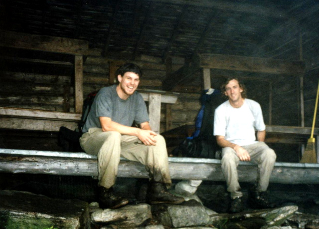
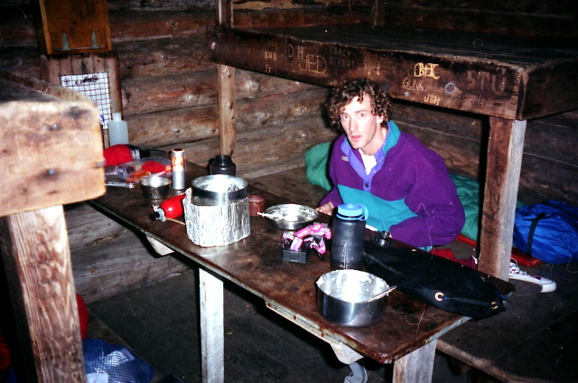
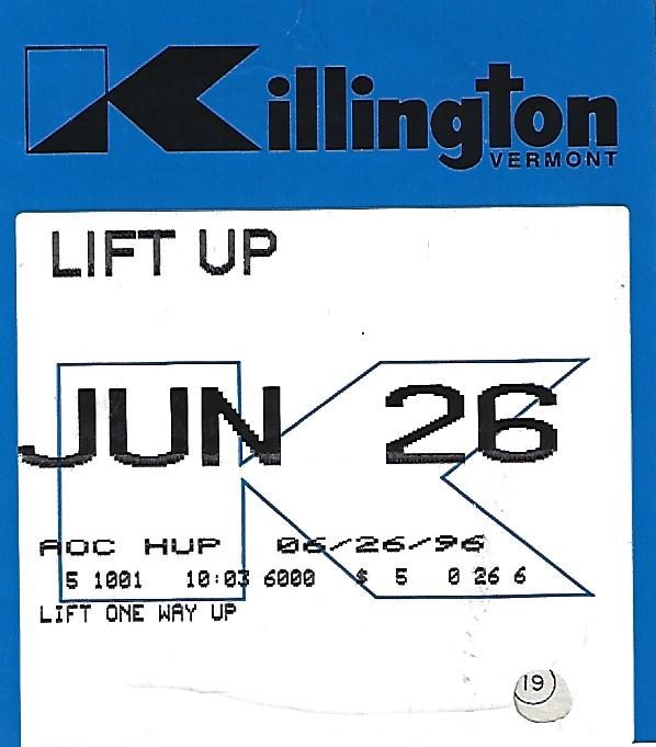
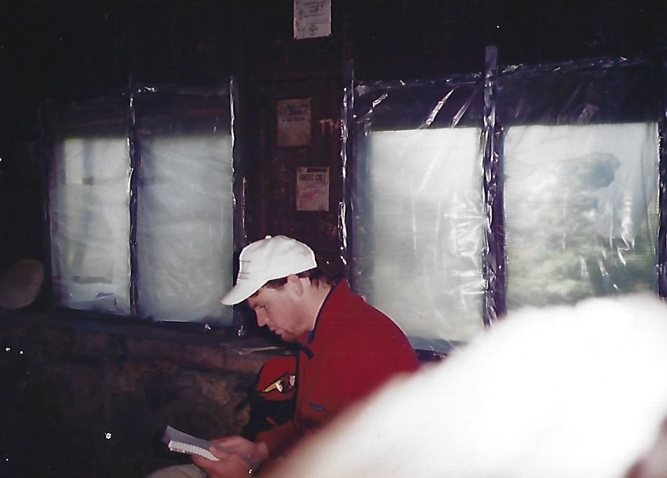
The section culminates with the climb of Killington Peak (4,241 ft), Vermont’s second-highest summit and a major ski-area mountain. The final ascent is steep and often rocky, with portions crossing ski slopes and service roads near the top. At the summit, hikers find expansive views across the Green Mountains, the Adirondacks, and the White Mountains on clear days, along with Cooper Lodge, one of the oldest shelters on the AT/Long Trail. Overall, this segment marks the transition from southern Vermont’s rolling terrain to the higher, more alpine-feeling central Green Mountains, combining remote forest hiking with one of the trail’s most prominent and historic peaks.
- click for more photos from this backpacking trip to Killington Peak: June 26, 1996
- click for a Daytimer report from this hike on the Appalachian Trail: June 26, 1996 (password required)
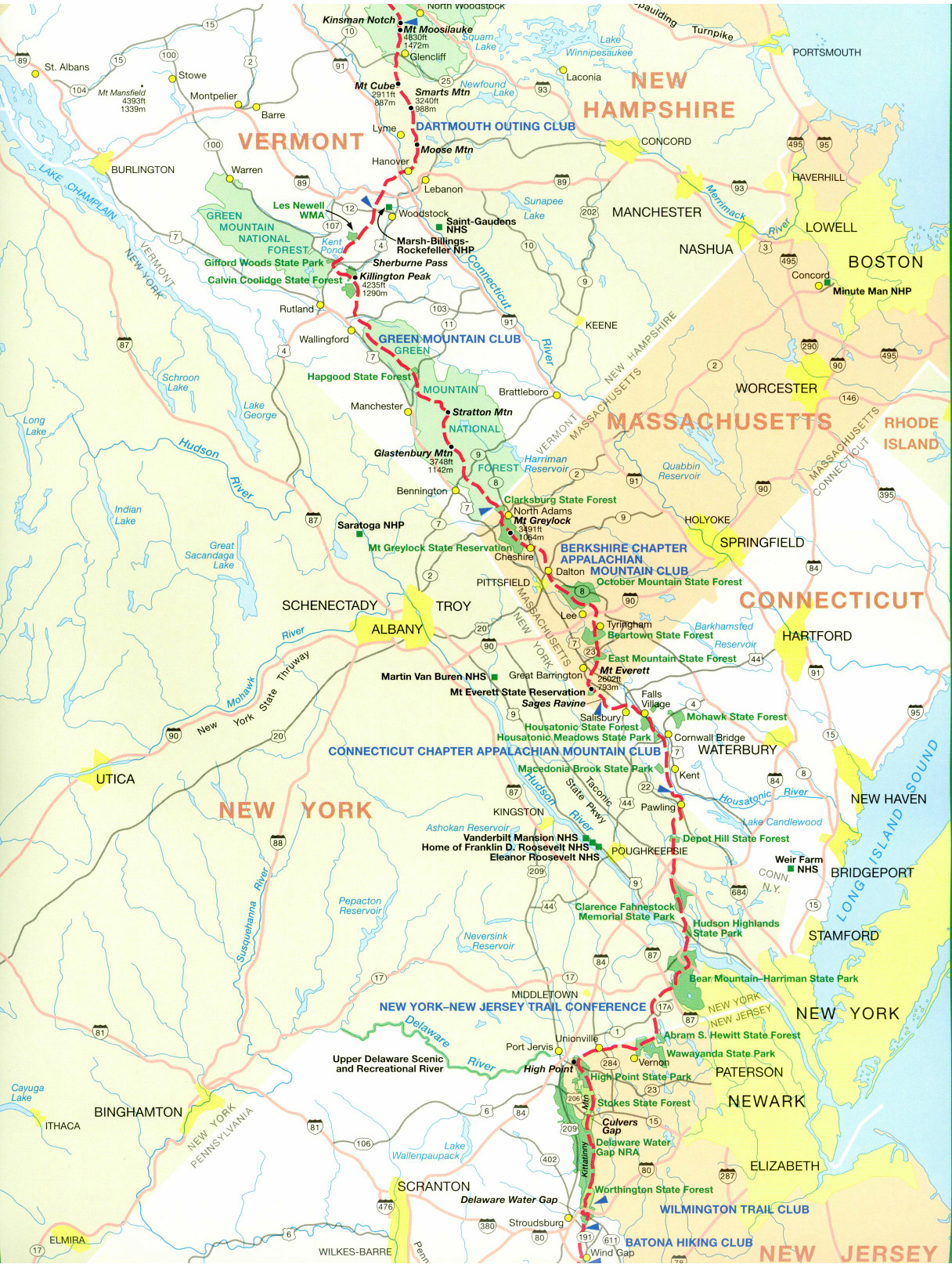
- click for a trail map of the Appalachian Trail in Vermont
- click for a trail map of the entire ~2200 mile Appalachian Trail
- click for the guidebook Appalachian Trail: New Hampshire – Vermont for more hikes in this area
- click for hikes on the previous and next sections of the A.T. in Vermont
- click for Appalachian Trail hiking and backpacking books
- click for more information on the Appalachian Trail
- click for more hiking and backpacking trips in the State of Vermont