Yellow Mountain Gap
Cherokee National Forest
2800 Ocoee Street North
Cleveland, TN 37312
Phone: (423) 476-9700
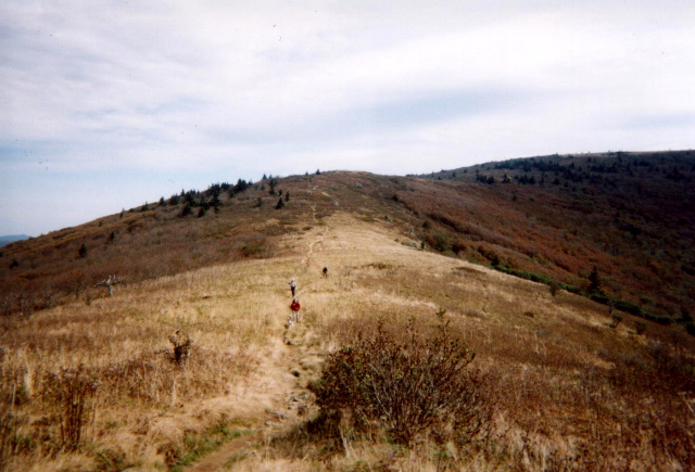
Yellow Mountain Gap at 4,682 feet straddles the states of both North Carolina and Tennessee along the Appalachian Trail. On September 7, 1780, the Overmountain Men who were a group of self-provisioned military recruits passed through the Gap on their way from Sycamore Shoals (Elizabethton), Tennessee to Kings Mountain, South Carolina. Here they defeated the British Army during the Revolutionary War which freed the American South from British domination and was a turning point for the colonists.
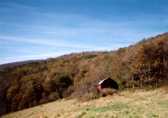
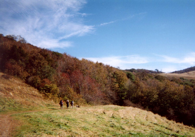
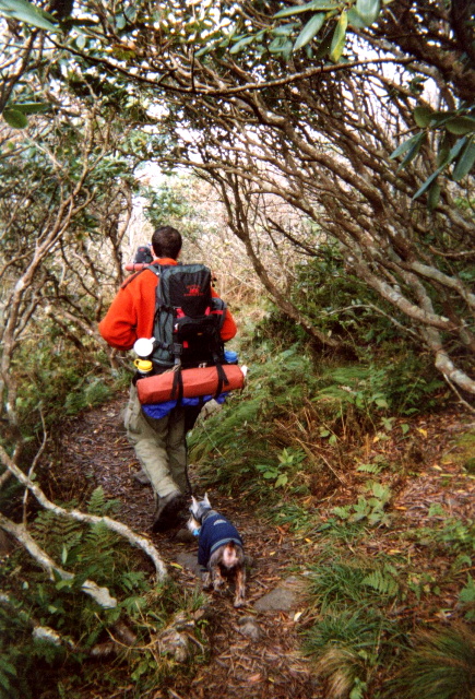
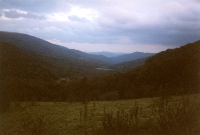
Overmountain Shelter is located only 0.3 miles from the gap on the North Carolina side of Yellow Mountain. It is more of a barn-like structure than a traditional A.T. lean-to but it has outstanding views of the Roaring Creek Valley and Yellow Mountain. You can either hike here from Roan Mountain or Carver’s Gap (which is a bit easier) and continue across the Hump Mountains down to 19E, or backtrack across Jane and Round Bald to the Roan Mountain area. Either way you’ll enjoy some of the best views along the Appalachian Trail in both North Carolina and Tennessee.
- click for more photos from this hike along the Appalachian Trail: October 4, 2003
- click for a trip report of this hike near Roan Mountain: October 4, 2003 (password required)
- click for a detailed trip report of this backpacking trip to Overmountain Shelter: October 4, 2003 (password required)
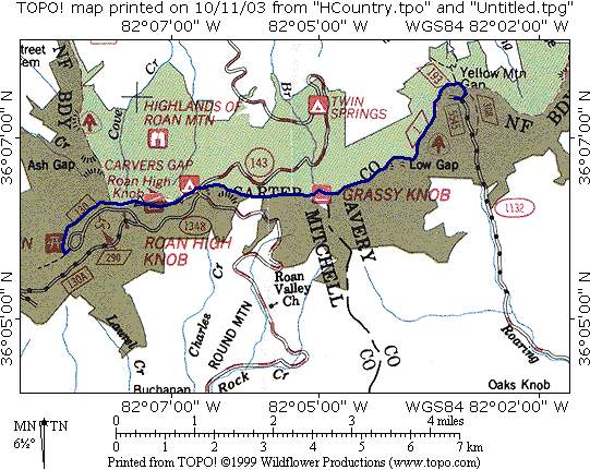
- click for a topo and profile map of this route on the A.T. from Carver’s Gap to Yellow Mountain Gap (password required)
- click for a trail and profile map of this hike to Yellow Mountain Gap
- click for the guidebook Hiking Tennessee with more details on this destination
- click for more information on the Appalachian Trail
- click for Appalachian Trail hiking and backpacking books
- click for more hikes in the State of Tennessee
- click for other hikes on the Appalachian Trail
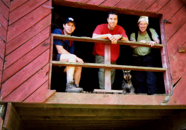
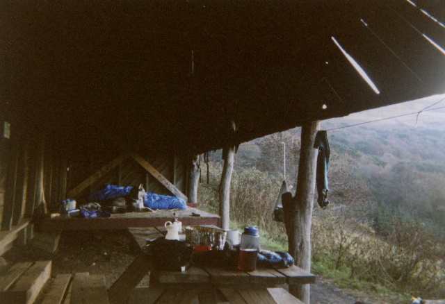
This OverMountain Shelter was torn down in the fall of 2023 since it was no longer structurally sound. Its a shame since it was one of the cooler shelters on the Appalachian Trail, but the cost to remodel and/or rebuild it was too high to salvage it. These are the GPS coordinates of the former shelter.