Sewee Shell Mound
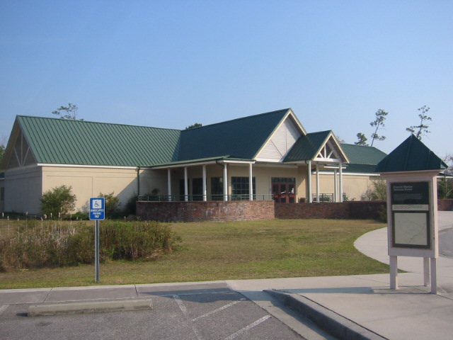
Sewee Visitor and Environmental Education Center
5821 U.S. Highway 17 North
Awendaw, SC 29429
843-928-3368
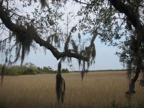
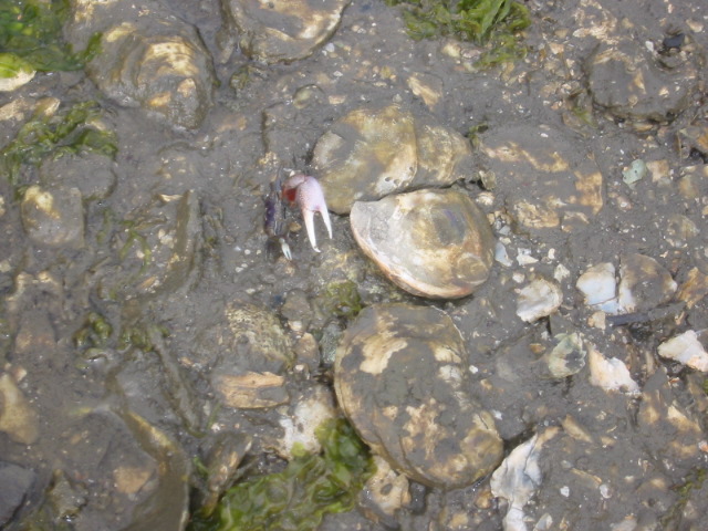
The Sewee Shell Mound hike is a one-mile, self-guided, roundtrip loop trail tucked along the coast of South Carolina. The interpretive trail is unique in that it consists of a clam shell and an oyster ring mound that date back 4,000 years when Native Americans inhabited the area and used the Intercoastal Waterway to catch and harvest their seafood. The mounds are the remnants of a once flourishing community that built their homes along heaps of discarded oyster and clam shells. Archaeologists speculate that the mounds may have been used for ceremonial purposes, and modern day adventurers can see these ancient formations along the tidal creeks near the Intercoastal Waterway.
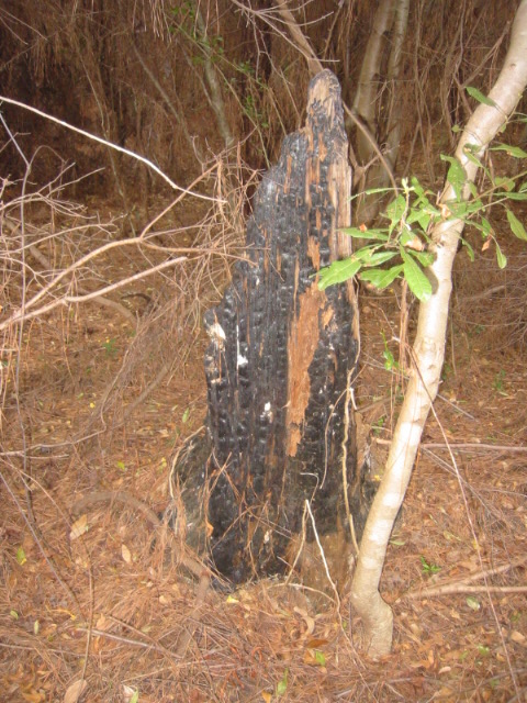
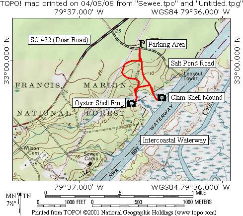
The Sewee Shell Mound hike begins at the parking area on Salt Pond Road. A short spur trail heads south to a loop that has two additional spur trails leading to both the oyster and clam shell mounds. This area was ravaged by Hurricane Hugo in 1989 and by a fire that consumed much of the downed timber a few years later. Surprisingly, the ancient sites and supporting trail system have survived the destruction and the forest has reclaimed much of the area. To hike to the shell mounds, leave the parking area and walk to the main loop where you bear left to hike in a clockwise direction. After a short distance, the first spur appears and heads straight out to the clam shell mound which has excellent views to the Intercoastal Waterway to the east. In the marshlands around the clam shell mound, you may see several large species of birds including the osprey which frequents this area. Like the I’on Swamp hike (which is nearby) the Sewee Shell Mounds are a day-use facility with no overnight accommodations.
- click for more photos from this day hike on the Sewee Trail: March 31, 2006
- click for a trip report for this hike near Charleston, South Carolina: March 31, 2006 (password required)
- click for a topographical map of this hike to the Sewee Shell Mound
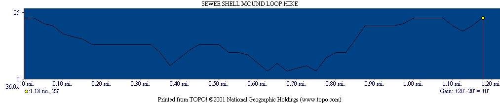
- click for a profile map of this hike on the Sewee Trail
- click for the guidebook Best Hikes With Dogs Georgia And South Carolina which has details on this area
- click for a hike at the nearby I’on Swamp in this area
- click for South Carolina hiking and backpacking books
- click for more hikes in the State of South Carolina