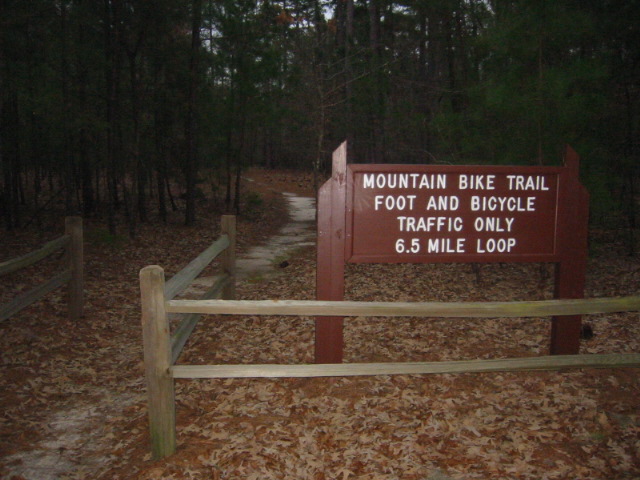
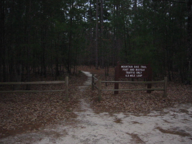
Santee Bike/Hike Trail
Santee State Park
251 State Park Road
Santee, SC 29142
803-854-2408

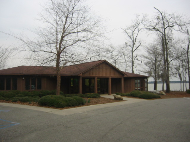
Santee State Park is one of the most popular state parks in South Carolina and it best known for stripped bass fishing and not hiking. The park offers 2500 acres of flooded wilderness which includes miles of shoreline on Lake Marion and recreation trails for both hikers and mountain bikers. The lake was created in 1949 when 100,000 acres were flooded to provide electric power for the southeast. This makes Santee State Park a bird watchers paradise with quail, brown thrasher, and Carolina wren among the numerous species of birds that reside here.
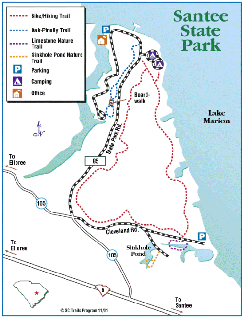
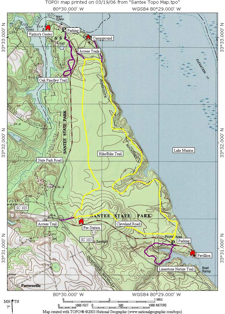
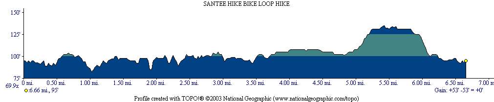
The Santee Bike/Hike Trail has spectacular views of Lake Marion to the east, and is relatively flat which makes it fairly easy despite being the longest trail in the park. The hike begins at the trailhead just before the entrance to the camping area on State Park Road. This guidebook follows it in a counter-clockwise direction heading south along the park road through a forest of pines and hardwoods which are occasionally draped with Spanish moss. After a few miles, the Bike/Hike Trail approaches Cleveland Road and parallels it heading eastbound. On the right, hikers will notice an access trail to State Park Road in the southeastern corner of the park near SC 105 which makes for a shorter shuttle hike if it is desired. Otherwise, continue east toward Lake Marion then turn north to hug the shore as you approach another access point off Cleveland Road near a picnic area.
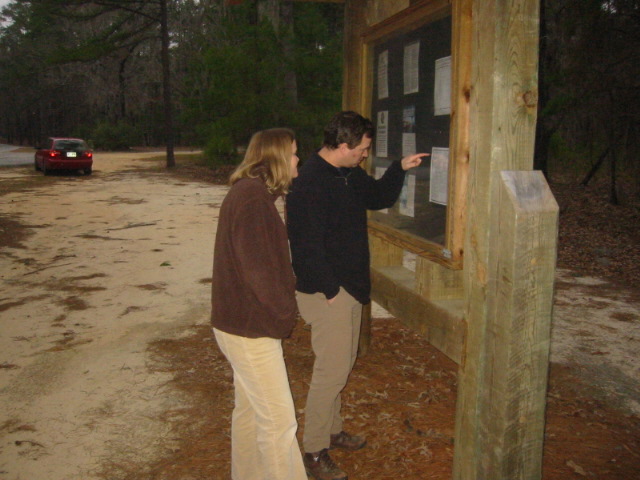
- click for photos from hiking in and around Santee State Park: February 18, 2006 (password required)
- click for a trip report from this hike near Elloree, S.C: February 18, 2006 (password required)
- click for a park map of Santee State Park
- click for a topographical map of this hike on the Santee Hike-Bike Trail
- click for a profile map of this hike on the Santee Hike-Bike Trail
- click for the guidebook Best Hikes With Dogs Georgia And South Carolina which has details on this area
- click for more hikes at Santee State Park on the Limestone, Oak Pinolly, and Santee Hike Trails
- click for a hike at the nearby Otto’s Bunker and pond
- click for South Carolina hiking and backpacking books
- click for more hikes in the State of South Carolina