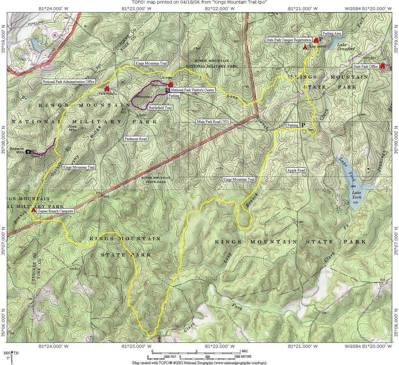
Browns Mountain
Kings Mountain National Park
2625 Park Rd.
Blacksburg, SC 29702
(864) 936-7921

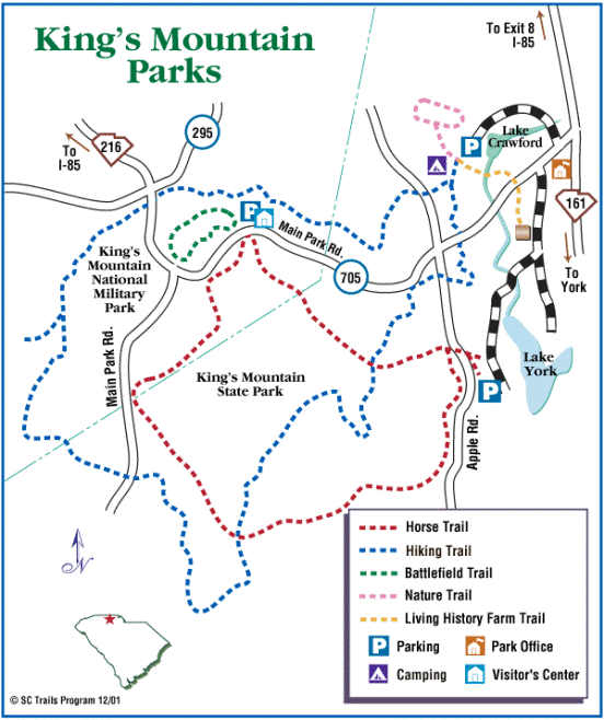
The Kings Mountain National Recreation Trail follows the southern extent of the Kings Mountain Range and serves as a scenic connector between Kings Mountain National Military Park and Kings Mountain State Park. Stretching approximately sixteen miles in length, the trail traverses a landscape rich in both natural beauty and American history. The route passes through forests of oak, hickory, pine, and mountain laurel while crossing a series of ridges that form the backbone of the Kings Mountain Range. Along the way, hikers encounter reminders of the region’s significance during the American Revolution, particularly at Kings Mountain National Military Park, where a decisive Patriot victory over Loyalist forces in 1780 helped alter the course of the war in the South. To the east, Kings Mountain State Park preserves another chapter of regional history through its Living History Farm, which recreates the daily life of nineteenth-century South Carolina settlers. Originally developed during the 1930s by the Civilian Conservation Corps, the state park has evolved into a premier outdoor recreation destination offering hiking, camping, fishing, paddling, horseback riding, and wildlife viewing across nearly 7,000 acres of protected forest.
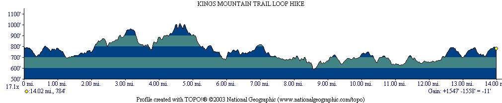
This loop hike on the Kings Mountain National Recreation Trail includes a worthwhile 0.5-mile side trip to Browns Mountain, the highest point along the route at 1,045 feet above sea level. Although modest in elevation, the summit provides seasonal views to the south and southwest during the winter months when leaves no longer obscure the surrounding landscape. The climb to Browns Mountain offers a pleasant change in terrain as the trail ascends through mixed hardwood forest before reaching the broad summit ridge. Historically, the mountain served as the site of a fire observation tower that was used to detect wildfires across the surrounding forests. While the tower itself is long gone, hikers can still find the four massive stone pillars that once anchored the structure, providing a tangible reminder of an era when fire towers played a critical role in forest management throughout the Southeast. Combined with the area’s Revolutionary War history, Civilian Conservation Corps legacy, and peaceful woodland scenery, the hike offers an enjoyable blend of cultural and natural attractions that showcase the unique character of the Kings Mountain region.
- click for a podcast from a hike at Kings Mountain National Military Park
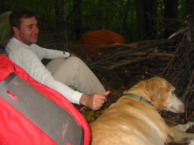
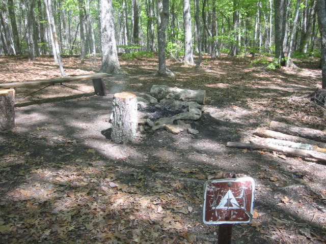
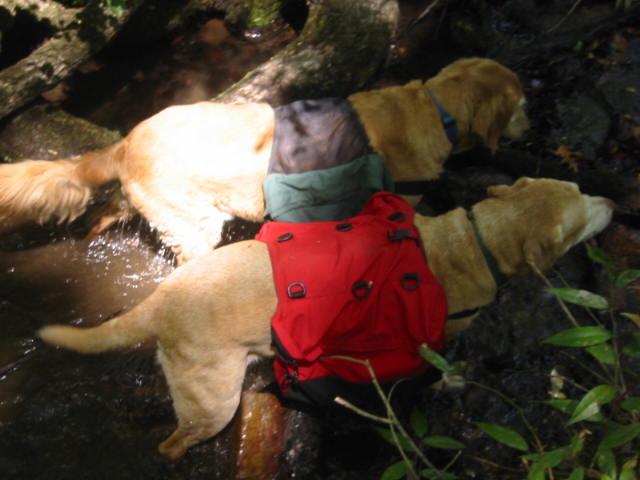
- click for more photos from this hiking and backpacking trip in South Carolina (password required)
- click for a trip report from this backpacking trip Kings Mountain: April 22, 2006
- click for a park map of Kings Mountain National Military Park
- click for a topographical map of this hike on the Kings Mountain National Recreational Trail
- click for a profile map of this hike near Blacksburg, South Carolina
- click for the guidebook Best Hikes With Dogs Georgia And South Carolina which has details on this destination
- click for hikes on the Battlefield, Browns Mountain, Kings Mountain and Garner Branch trails in this area
- click for South Carolina hiking and backpacking books
- click for other hikes on the Foothills Trail in South Carolina