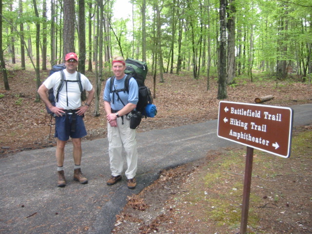
Battlefield Trail
Kings Mountain National Park
2625 Park Rd.
Blacksburg, SC 29702
(864) 936-7921
Kings Mountain National Military Park preserves the site of one of the most important battles of the American Revolution and commemorates a decisive Patriot victory that helped change the course of the war in the South. Fought on October 7, 1780, the Battle of Kings Mountain pitted a force of frontier Patriot militia against a contingent of American Loyalists commanded by British Major Patrick Ferguson. The battle occurred during the Southern Campaign, when British forces sought to regain control of the Carolinas by rallying Loyalist support throughout the region. Instead, the crushing Patriot victory destroyed a key portion of Charles Cornwallis’s left flank, severely weakened British influence in the backcountry, and effectively ended Loyalist dominance in the Carolinas. The defeat forced Cornwallis to abandon his advance into North Carolina and retreat from Charlotte into South Carolina, while providing American commander Nathanael Greene valuable time to reorganize and strengthen Continental forces. Historians often regard Kings Mountain as a turning point in the Southern Campaign, setting the stage for subsequent American victories that eventually led to British surrender at Yorktown.
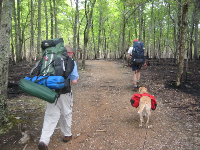
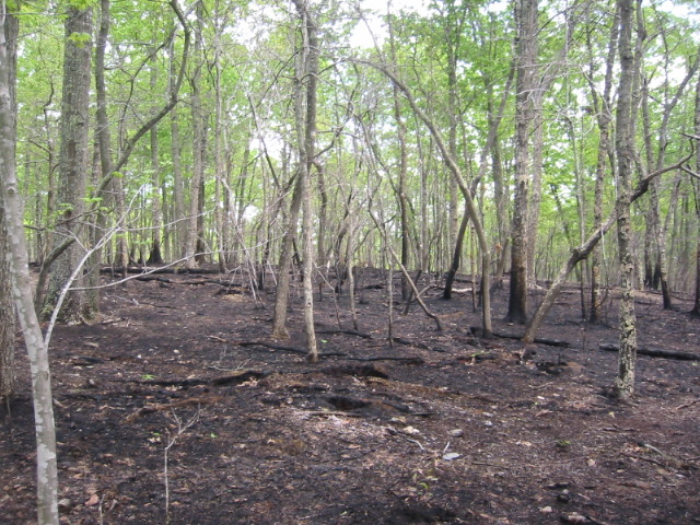
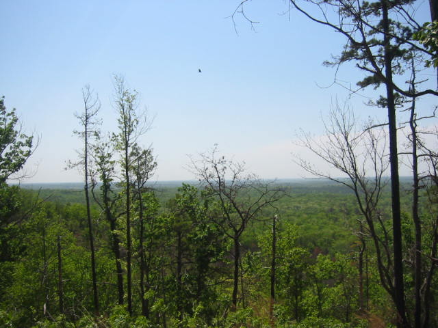
The Battlefield Trail offers visitors an opportunity to walk across the very ground where this historic engagement unfolded more than two centuries ago. Beginning behind the Visitor Center, the 1.5-mile paved loop circles the crest of Kings Mountain and passes numerous monuments, interpretive exhibits, and significant battle locations that help bring the events of October 1780 to life. One of the most notable landmarks along the route is Ferguson’s Cairn, a stone memorial marking the burial site of Major Patrick Ferguson, who was killed during the battle while attempting to rally his troops. As hikers follow the trail, wayside exhibits explain troop movements, battlefield tactics, and the experiences of both Patriot and Loyalist soldiers who fought on the rugged, heavily wooded ridge. The trail is designed to be hiked counterclockwise, beginning at a clearly marked trailhead reached by a short paved walkway from the Visitor Center. Along the route, visitors gain a deeper appreciation for the strategic importance of the battle while enjoying a pleasant walk through a forested landscape that closely resembles the terrain encountered by the combatants in 1780. The combination of historical interpretation, preserved battlefield features, and scenic surroundings makes the Battlefield Trail one of the premier Revolutionary War walks in the southeastern United States.
- click for a podcast from a hike at Kings Mountain National Military Park
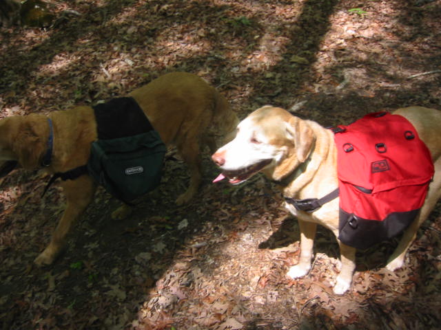
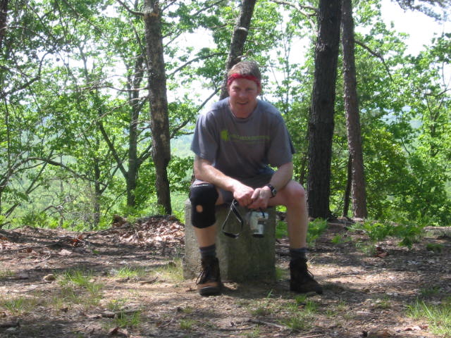
- click for more photos from this hiking and backpacking trip in South Carolina (password required)
- click for a trip report from this backpacking trip Kings Mountain: April 22, 2006
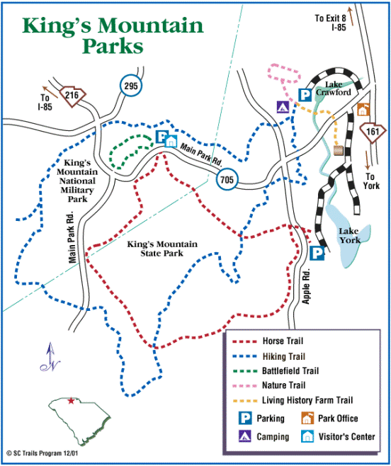
- click for a park map of Kings Mountain National Military Park
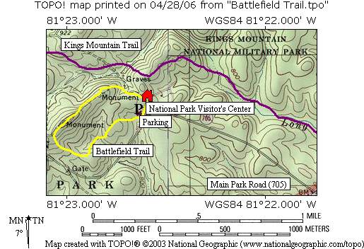
- click for a topographical map of this hike on the Battlefield Trail
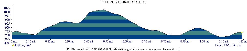
- click for a profile map of this hike near Blacksburg, South Carolina
- click for the guidebook Best Hikes With Dogs Georgia And South Carolina which has details on this destination
- click for hikes on the Battlefield, Browns Mountain, Kings Mountain and Garner Branch trails in this area
- click for South Carolina hiking and backpacking books
- click for other hikes on the Foothills Trail in South Carolina