Gum Gap
Caesars Head State Park
State Park Service
8155 Geer Highway
Cleveland, SC 29635
(843) 836-6115
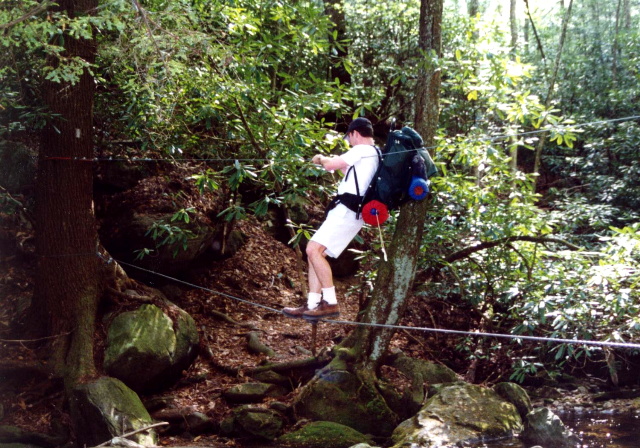
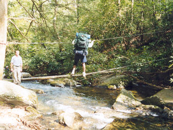
There are over fifty miles of hiking trails in the Caesars Head area and the park is also an access point to the Foothills Hiking Trail via the Gum Gap Trail. This hike to Gum Gap is a popular one and you need a permit if you plan to camp overnight. The Matthews Creek hike has some nice campsites that are located right on the water. However, no fires are permitted in Caesars Head State Park. If you are the type that likes a campfire, plan on shooting for Gum Gap for the night. It’s just out of the State Park boundaries where campfires are legal. On this hike, you’ll still have the great views of Raven Cliff Falls, cross a wire cable over Matthews Creek, and walk across a suspension bridge over the falls.
The hike to Matthews Creek is a roundtrip loop hike that can be done in either direction, but a counter-clockwise loop hike is profiled here. It begins at the trailhead off US 276, which is 1.1 miles north of the Visitor’s Center at Caesars Head State Park. The blue-blazed Gum Gap Trail shares the first 1.4 miles of the route with the red-blazed Raven Cliff Falls Trail. The path heads west through a forest of hardwoods, where there is very little elevation change over the first few miles. When the blue and red blazes split at the 1.4 mile mark, turn right and follow the blue-blazed Gum Gap Trail for another 1.5 miles until it meets the pink blazed Natureland Trust Trail.
- click for more photos from this hike to Gum Gap: April 17, 1999
- click for a detailed trip report from this backpacking trip along Matthews Creek: April 17, 1999 (password required)
- click for a Daytimer report of this hike in Caesar’s Head State Park: April 17, 1999 (password required)
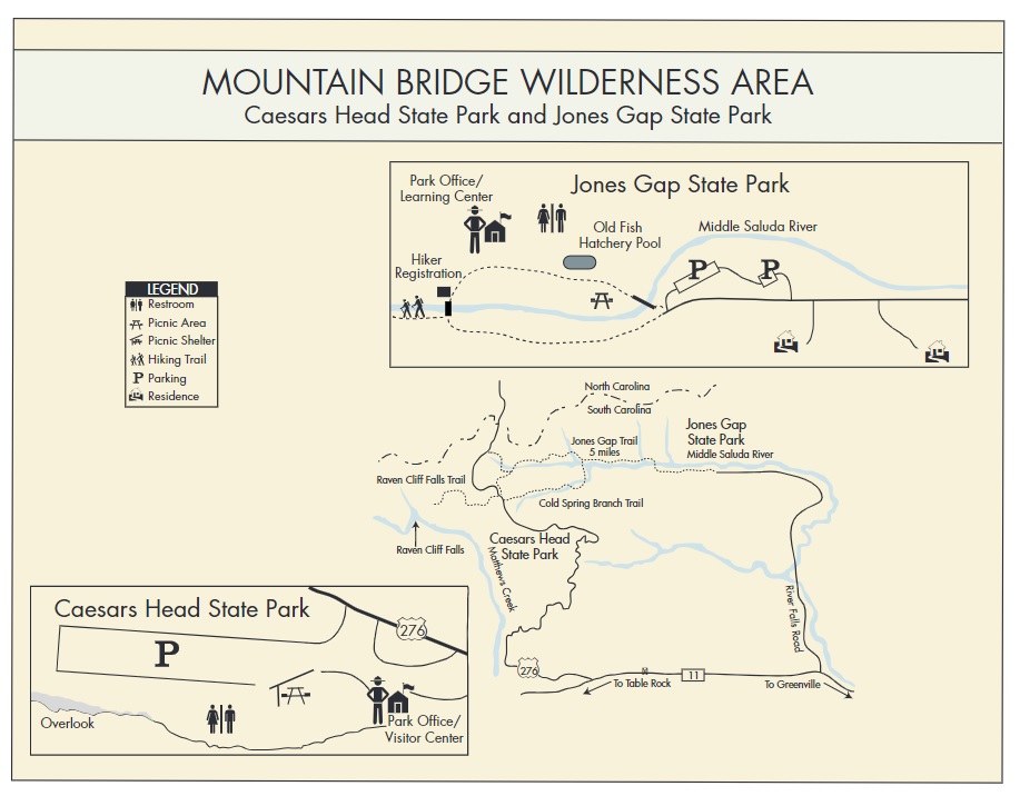
- click for a park and trail map for the Mountain Bridge Wilderness Area
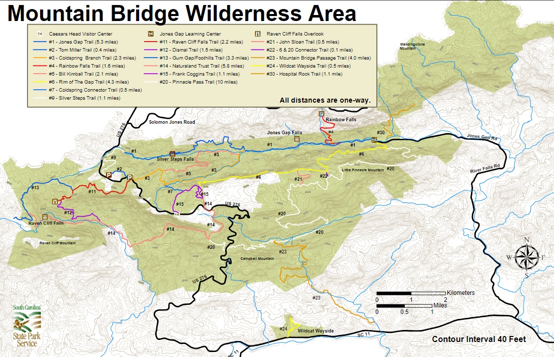
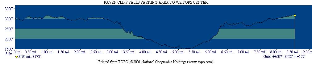
- click for a topographical and profile map of this loop hike across Matthews Creek
- click for another backpacking trip we did here in February 1999
- click for more information on the Foothills Trail
- click for Foothills Trail hiking and backpacking books
- click for the guidebook Best Hikes With Dogs Georgia And South Carolina which has details on this area
- click for South Carolina hiking and backpacking books
- click for other hikes on the Foothills Trail in South Carolina