Quarry Gap Shelters
Appalachian Trail Conservancy
799 West Washington Street
Harpers Ferry, WV 25425
(304) 535-6331

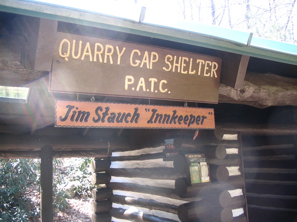
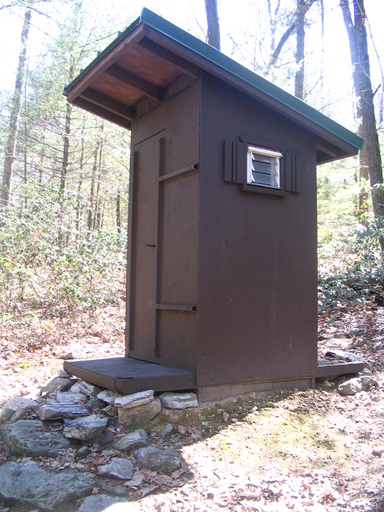
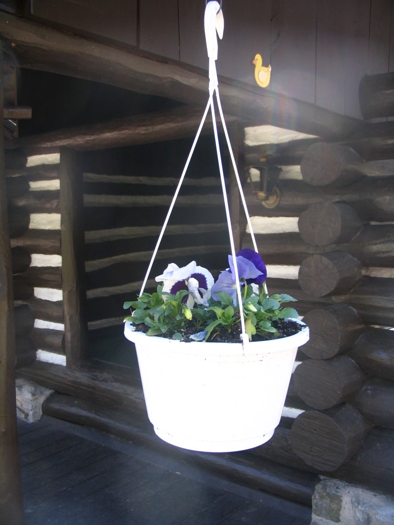
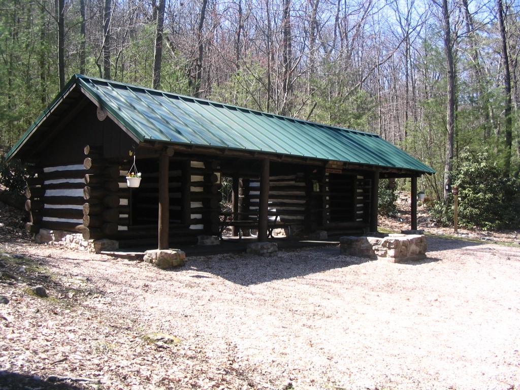
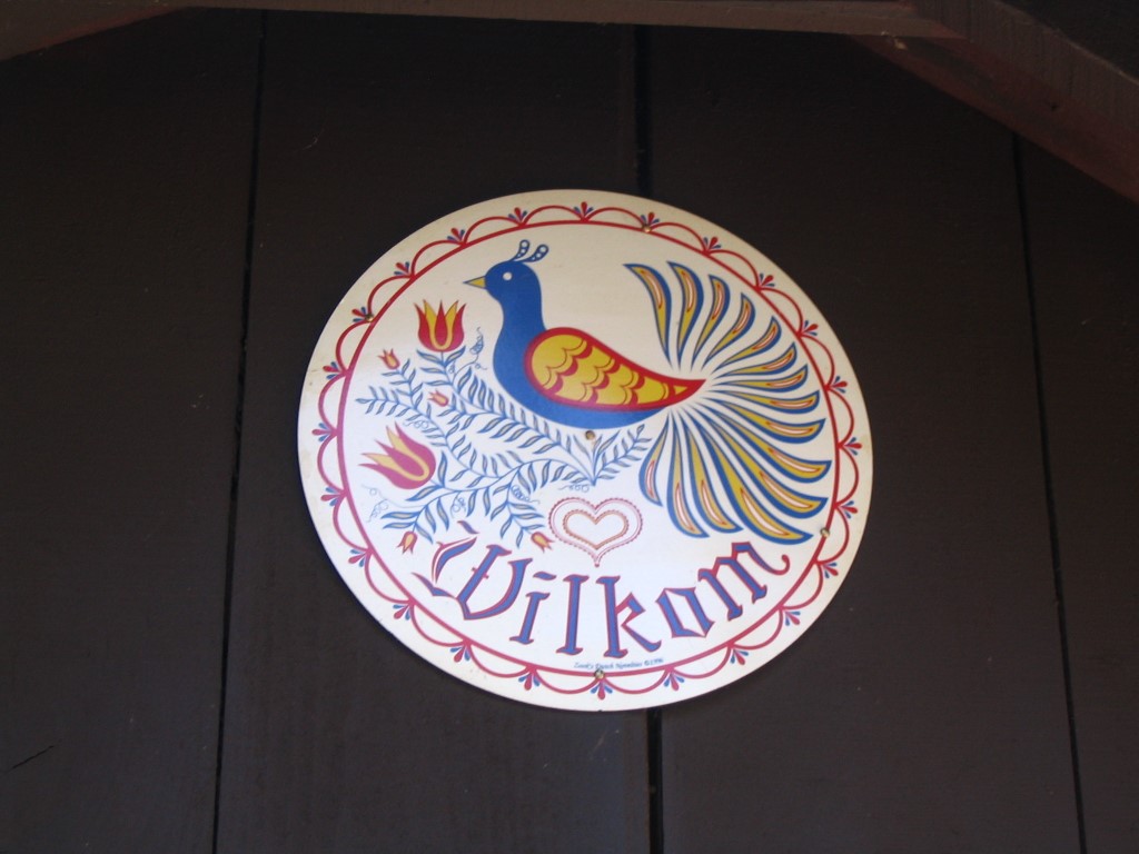
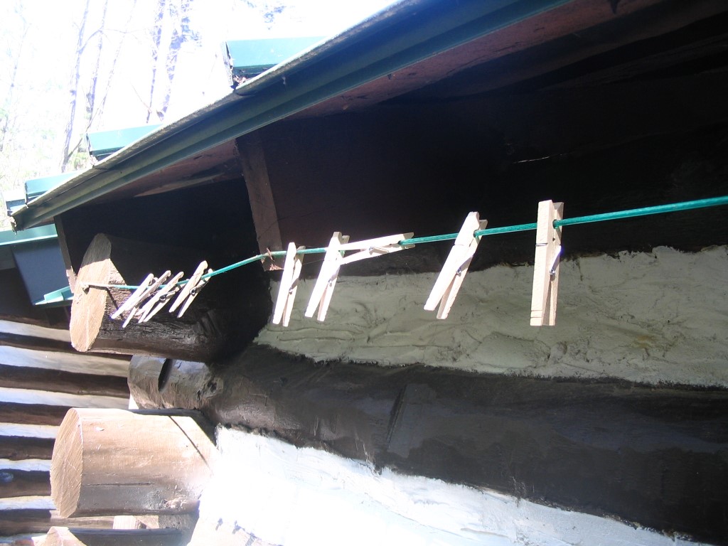
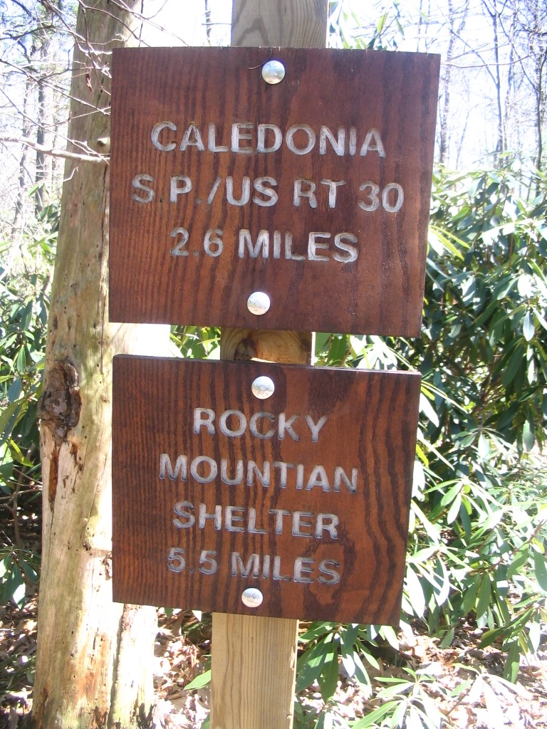
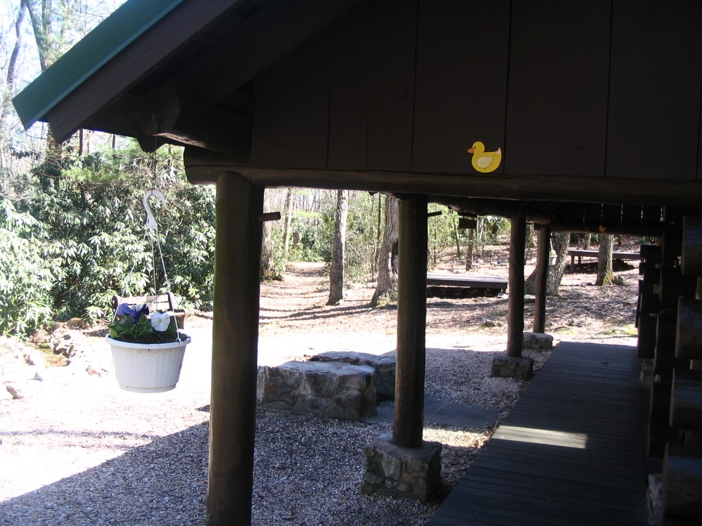
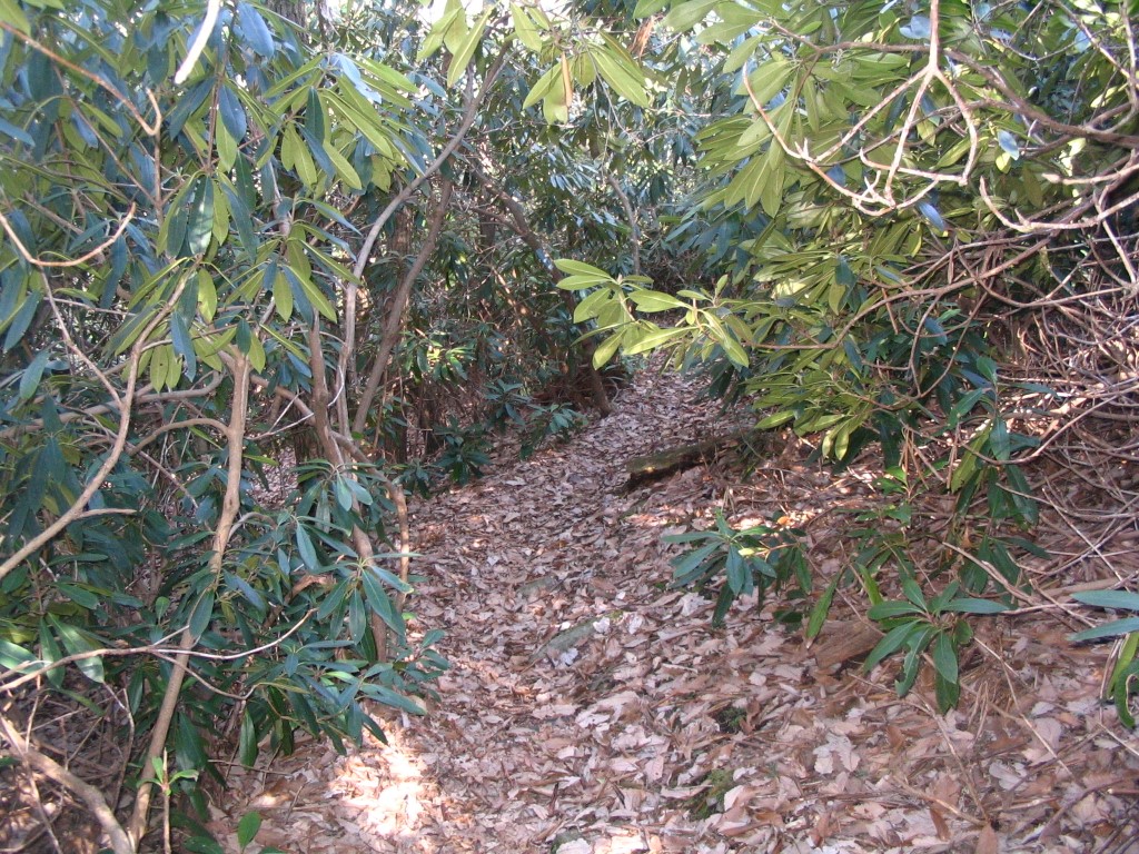
Quarry Gap Shelters are a pair of historic, side-by-side Appalachian Trail shelters in southern Pennsylvania on South Mountain, just north of Caledonia State Park. Originally built by the Civilian Conservation Corps in the 1930s, the shelters are maintained by dedicated volunteers that provide benches, landscaping, and touches not typical of trail shelters. Located directly on the trail, Quarry Gap has a reliable nearby spring, a privy, a picnic and common area, and space in the shelter and nearby for tent campers. It is a popular and often social overnight stop for thru-hikers and section hikers as they pass through this rocky but scenic stretch of Pennsylvania.
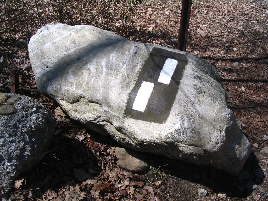
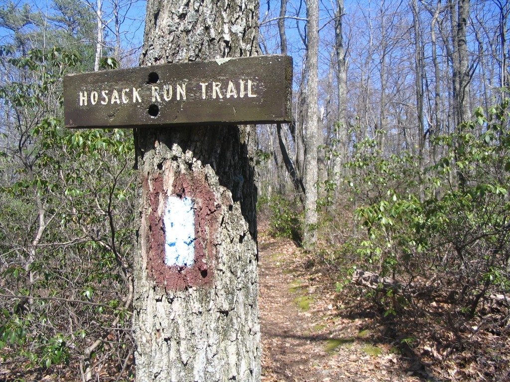
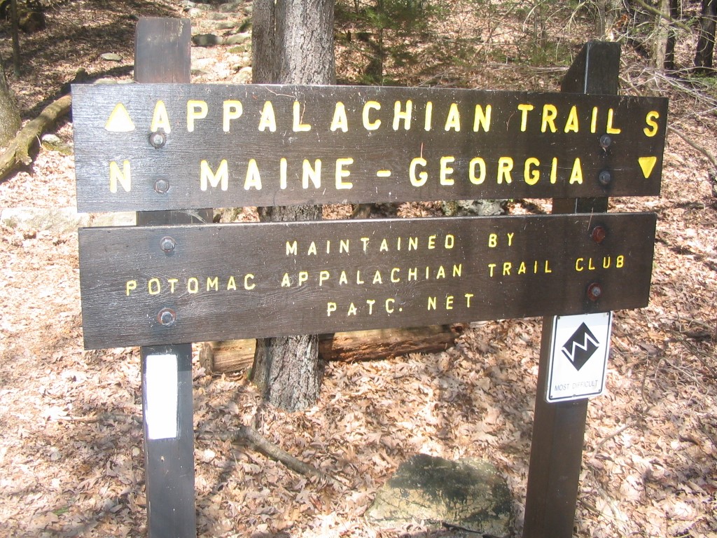
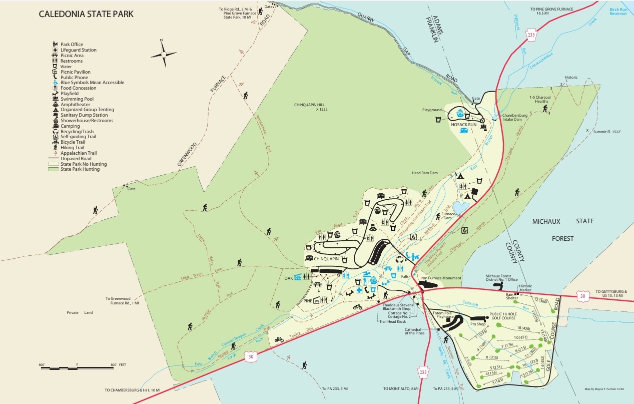
The 1,125-acre Caledonia State Park is in Adams and Franklin counties, midway between Chambersburg and Gettysburg, Pennsylvania and located on US 30. Caledonia is in the northernmost section of the Blue Ridge Mountains known locally as South Mountain. This hike leaves a parking area in the northern most section of the park and climbs a ridge following the Appalachian Trail northbound to the Quarry Gap Shelters. The backcountry site is well maintained and has a group camping area nearby. From here, the route continues north on the A.T. to the Hosack Run Trail which it follows 1.1 miles down to the Locust Gap Trail. In this area, there are fenced facilities to control the hungry deer population which has devastated some of the vegetation in the area. From Locust Gap, turn right to climb back up an old forest road and rejoin the A.T. which backtracks back to the parking area at Caledonia State Park.
- click for more photos from this hike on the Appalachian Trail: April 15, 2008
- click for a trip report from this trip near Caledonia State Park: April 15, 2008 (password required)
- click for a park map of Caledonia State Park
- click for a topo and trail map of this loop hike to Quarry Gap Shelters (password required)
- click for a map of the Appalachian Trail in Pennsylvania (password required)
- click to see a video slideshow of my 1994 hike on the A.T. (short film produced 2019 ~ 5 min)
- click to see some of my favorite photos from the Appalachian Trail
- click to view a day-by-day summary of BirdShooter’s 1994 Appalachian Trail thru-hike
- click for specific sections of the Appalachian Trail (with photos from each state)
- click for a map of the entire Appalachian Trail
- click for a summary of the 2000+ mile Appalachian Trail
- click for other hikes on the Appalachian Trail in Pennsylvania