Appalachian Trail #3 (Caledonia State Park to Delaware River)
Appalachian Trail Conservancy
799 West Washington Street
Harpers Ferry, WV 25425
(304) 535-6331
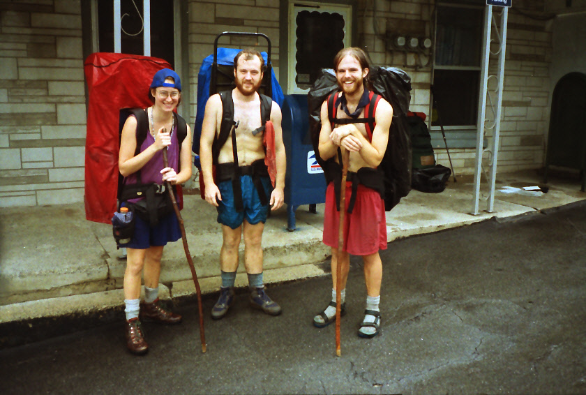
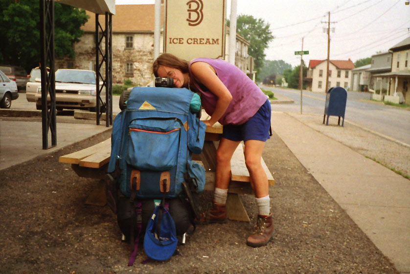
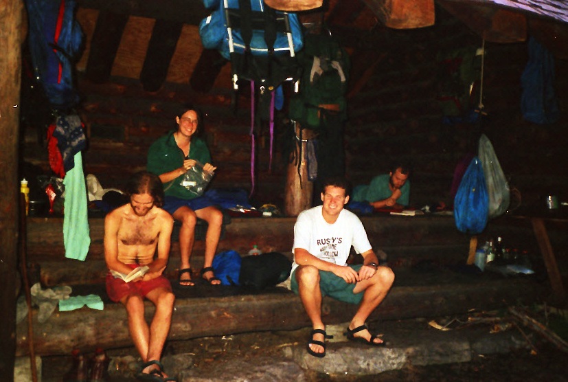
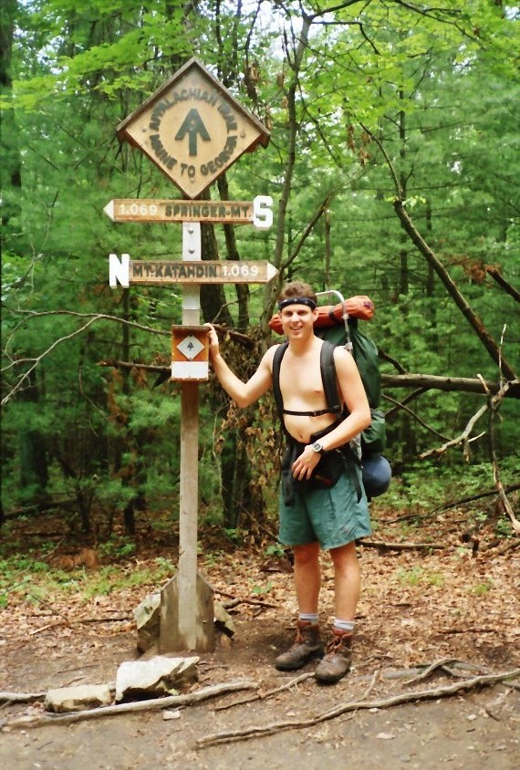
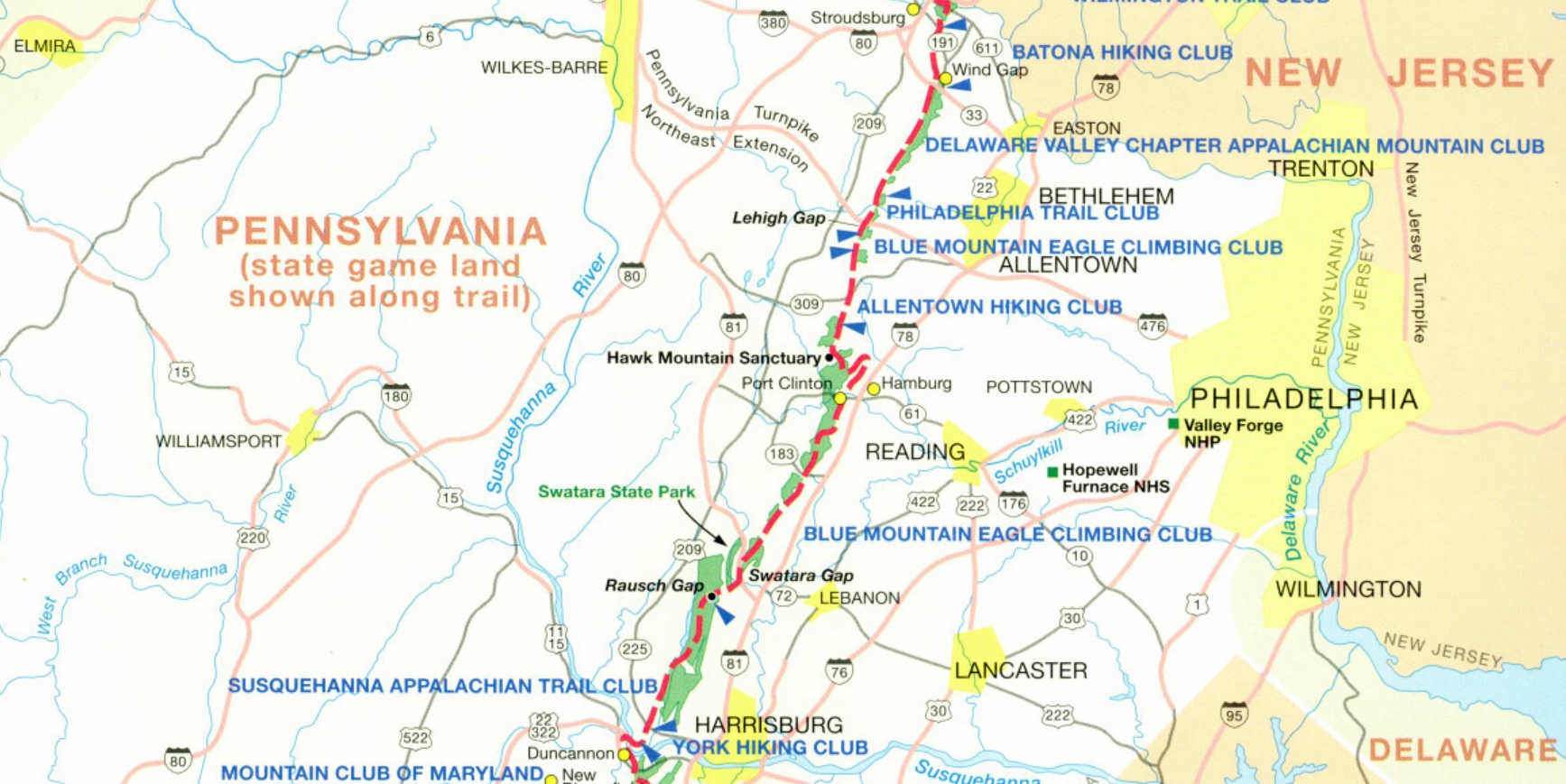
The Appalachian Trail in Pennsylvania covers 229 miles of trail and starts just 0.2 miles north of the Pen Mar State Park. Pennsylvania is notorious for its foot-bruising, boot-destroying rocks, and there are some fairly strenuous climbs in and out of gaps in the ridges of the Allegheny Mountains. In southern Pennsylvania, the Appalachian Trail runs for roughly 90 miles along the rugged ridgeline of South Mountain, following the state’s border with Maryland through a landscape of rocky footpaths, hardwood forests, and historic sites. This section is known for its challenging terrain, especially the ankle-twisting rocks of the quartzite ridges, but it also offers frequent viewpoints, well-maintained shelters, and access points near towns and roads. Highlights include the trail’s passage through Michaux State Forest, stops at places like Pen Mar Park and Caledonia State Park, and sweeping vistas from rocky overlooks. Rich in Civil War history and popular with both thru-hikers and day hikers, southern Pennsylvania’s stretch of the Appalachian Trail blends physical challenge with scenic and cultural interest. This is a long section of the Appalachian Trail that covers over 200 miles in central and northeastern Pennsylvania. From Caledonia State Park, the Trail climbs a ridge and passes a series of shelters and the Milesburn PATC cabin. At the Iron Master’s Mansion Youth Hostel, the A.T. enters Pine Grove Furnace State Park where a historic furnace was used to smelt iron during the Revolutionary War. The park has campsites, picnic tables, a camp store and a public telephone on the premises. A marker north of the park marks the midway point between Georgia and Maine. (Although the true point varies from year to year due to trail reroutes, maintenance, etc.)
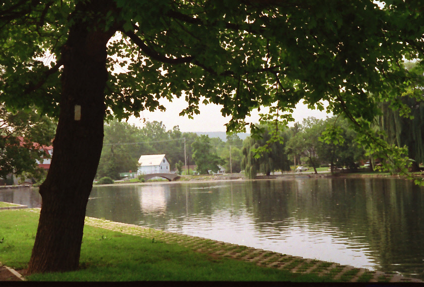
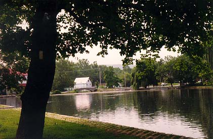
The A.T. continues past the Pine Grove Furnace, makes a gradual ascent up to South Mountain and then winds its way to Boiling Springs, an 18th century iron industry settlement. Today the small village is a busy tourist village and recreation area and it is a nice stop for hikers in southern Pennsylvania. The springs are some of the largest in the state and over 20,000 gallons flow from it daily. Duncannon is the next major stop on the Trail for the northbound hiker, and it is here that the A.T. crosses the Susquehanna River. The Trail then climbs Peter Mountain, passes by the Bleu Blaze Hostel, the PA 501 Shelter, and eventually reaches the small village of Port Clinton where camping is permitted at a pavilion in town. The Appalachian Trail reaches the Pennsylvania and New Jersey border at the Delaware River and passes by the towns of Palmerton and Wind Gap en route. Delaware Water Gap is a small town on the river that has a nice hiker hostel at the Church of the Mountain. The church has held a weekly summer buffet in the past, and has invited any hungry hiker to attend.
- click for a short video slideshow of my 1994 hike on the Appalachian Trail
- click for more photos from this backpacking trip on the A.T. in Pennsylvania: July 13-30, 1994
- click for a Daytimer report from my thru-hike in July 1994 (password required)
- click for a trail journal from hiking this section of the A.T. in northern Pennsylvania: July 13-30, 1994
- click for a map of the Appalachian Trail in Pennsylvania (password required)
- click for a map of the entire Appalachian Trail
- click for a day-by-day summary of BirdShooter’s 1994 Appalachian Trail thru-hike
- click for specific sections of the Appalachian Trail (with photos from each state)
- click for a summary of the 2000+ mile Appalachian Trail
- click for the guidebook Appalachian Trail: Pennsylvania which has details on this destination
- click for more hikes on the Appalachian Trail in Pennsylvania