Appalachian Trail #1 (MD/PA Border to PA 16)
Appalachian Trail Conservancy
799 West Washington Street
Harpers Ferry, WV 25425
(304) 535-6331
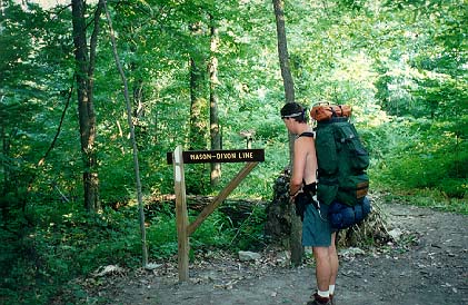
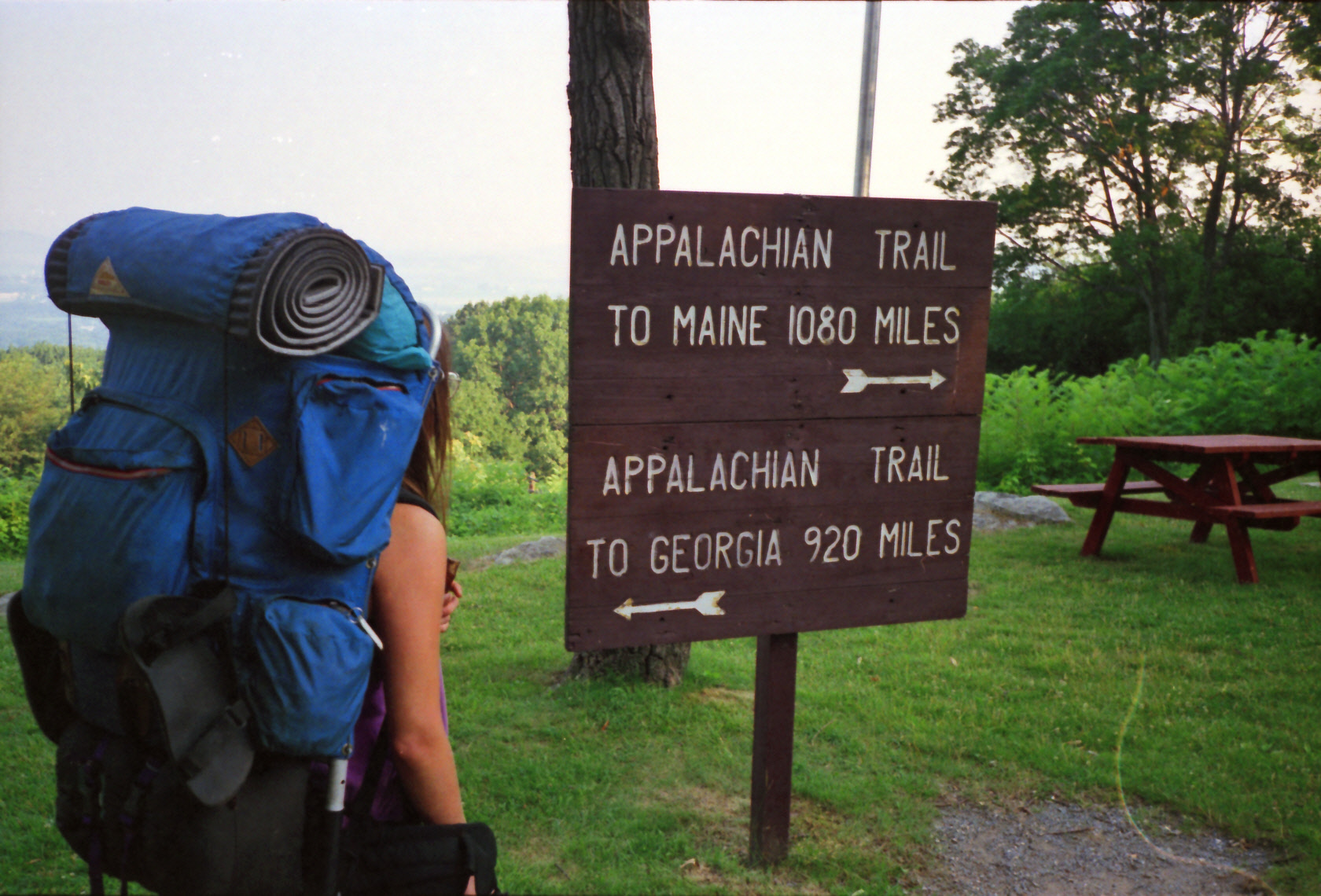
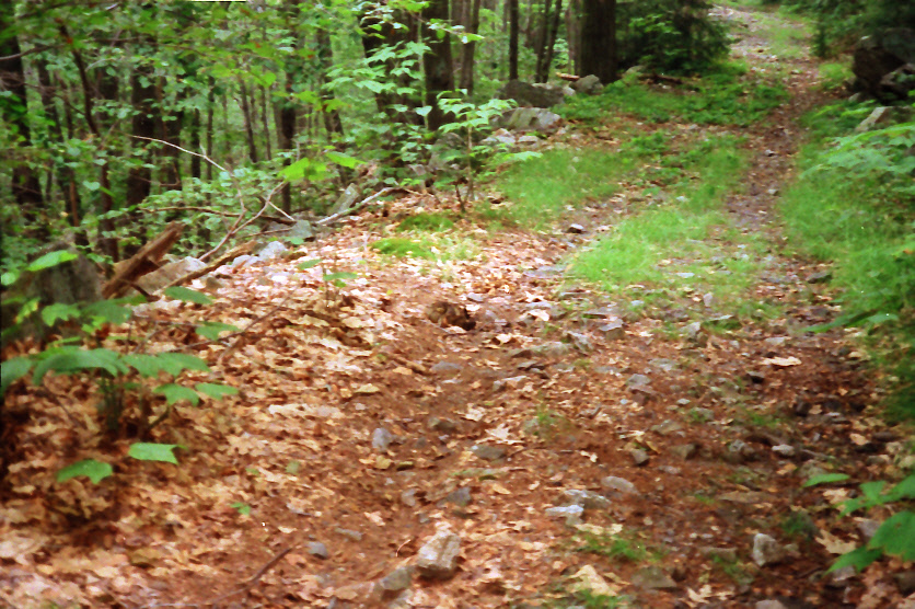
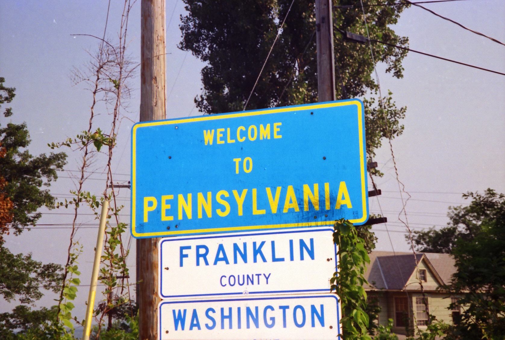
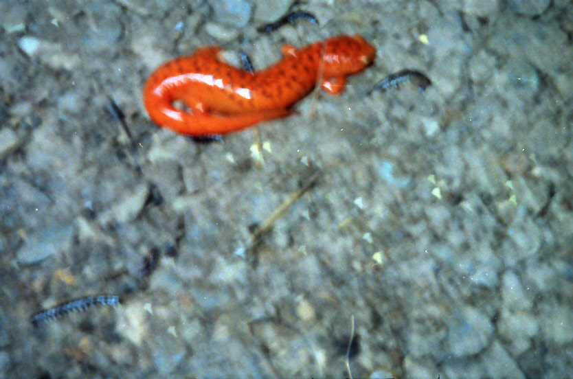
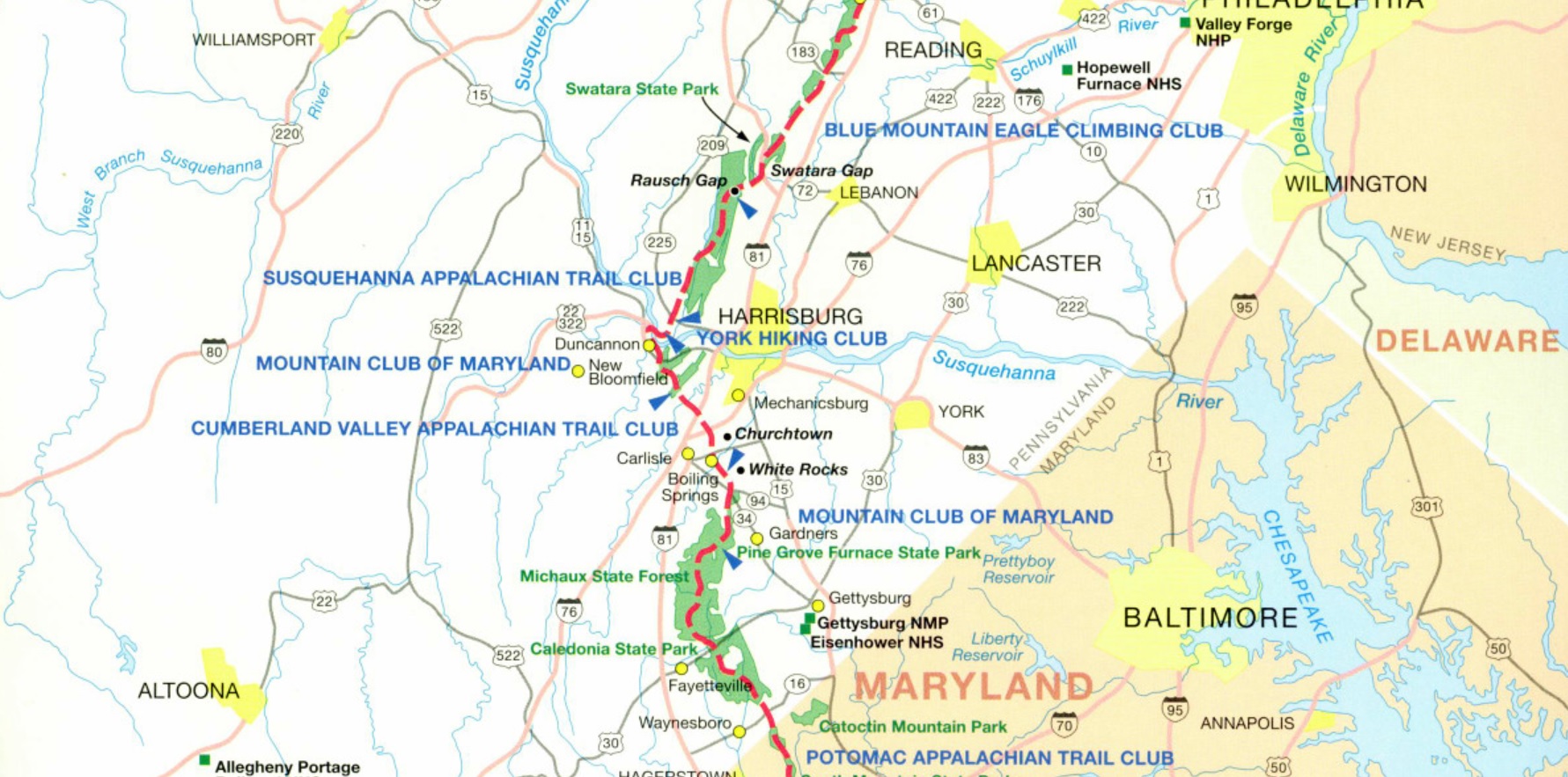
The Appalachian Trail in Pennsylvania covers 229 miles of trail and starts just 0.2 miles north of the Pen Mar State Park. Pennsylvania is notorious for its foot-bruising, boot-destroying rocks, and there are some fairly strenuous climbs in and out of gaps in the ridges of the Allegheny Mountains. In southern Pennsylvania, the Appalachian Trail runs for roughly 90 miles along the rugged ridgeline of South Mountain, following the state’s border with Maryland through a landscape of rocky footpaths, hardwood forests, and historic sites. This section is known for its challenging terrain, especially the ankle-twisting rocks of the quartzite ridges, but it also offers frequent viewpoints, well-maintained shelters, and access points near towns and roads. Highlights include the trail’s passage through Michaux State Forest, stops at places like Pen Mar Park and Caledonia State Park, and sweeping vistas from rocky overlooks. Rich in Civil War history and popular with both thru-hikers and day hikers, southern Pennsylvania’s stretch of the Appalachian Trail blends physical challenge with scenic and cultural interest.
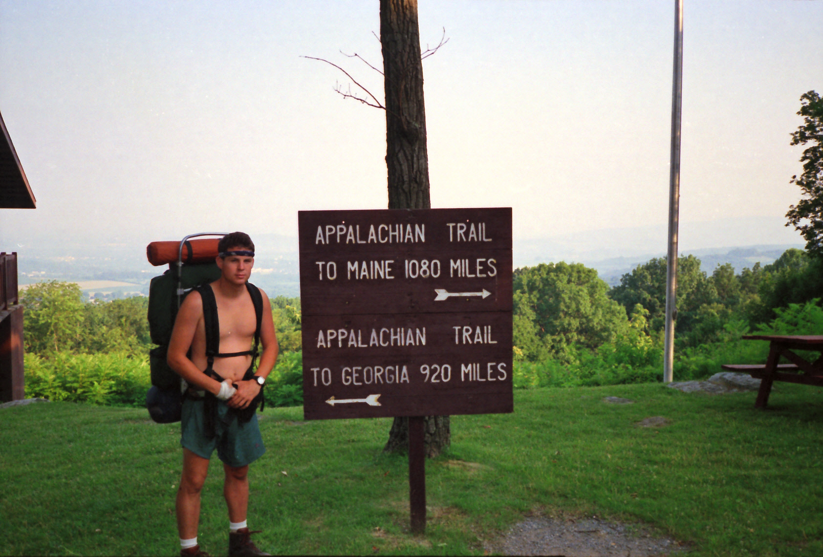
Pen Mar Park is a scenic historic park perched on South Mountain right along the Pennsylvania–Maryland border near the community of Pen Mar, offering sweeping views, picnic areas, a playground, and a popular open-air pavilion used for concerts and community events. Originally developed in 1877 as a major mountain resort and amusement park served by the Western Maryland Railway, it once drew tens of thousands of visitors seeking cool summer air and entertainment. Although the original resort closed during World War II, the site was later preserved and reopened as a public county park, and today it is especially well known among hikers because the Appalachian Trail passes directly through the park, making it a favorite stop for both locals and long-distance trekkers. This short section of the Appalachian Trail covers only a few miles from the Pen Mar State Park to PA 16 between the towns of Waynesboro and Blue Ridge Summit. Laid Back Sue and I hiked it one morning and then caught a ride into town to re-supply for the week.
- click for a short video slideshow of my 1994 hike on the Appalachian Trail
- click for more photos from this backpacking trip on the A.T. in Pennsylvania: July 12-13, 1994
- click for a Daytimer report from my thru-hike in July 1994 (password required)
- click for a trail journal from this hike near Pen Mar State Park: July 12-13, 1994
- click for a topo and profile map of Pen Mar to Old Forge on the A.T. (password required)
- click for a map of the Appalachian Trail in Pennsylvania (password required)
- click for a map of the entire Appalachian Trail
- click for a day-by-day summary of BirdShooter’s 1994 Appalachian Trail thru-hike
- click for specific sections of the Appalachian Trail (with photos from each state)
- click for a summary of the 2000+ mile Appalachian Trail
- click for the guidebook Appalachian Trail: Pennsylvania which has details on this area
- click for more hikes on the Appalachian Trail in Pennsylvania