Mount Hood
Mount Hood Wilderness
Hood River Ranger District
(541) 352-6002
6780 Highway 35
Parkdale, OR 97041

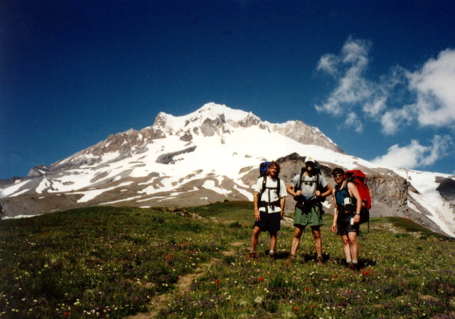
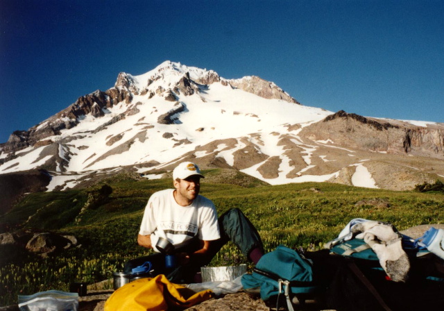
Timberline Lodge is a historic mountain lodge located on the south side of Mount Hood in Oregon. It is a popular destination for skiing, snowboarding, hiking, and enjoying the natural beauty of the Pacific Northwest. Timberline Lodge was constructed during the Great Depression as part of the Works Progress Administration (WPA) projects. It was completed in 1937 and is renowned for its craftsmanship and use of local materials. The lodge sits near the Mount Hood National Forest which extends south from the Columbia River Gorge across more than sixty miles of forested mountains, lakes and streams to Olallie Scenic Area, a high lake basin under the slopes of Mt. Jefferson. There are 189,200 acres of designated wilderness in the forest. The largest is the Mt. Hood Wilderness, which includes the mountain’s peak and upper slopes.
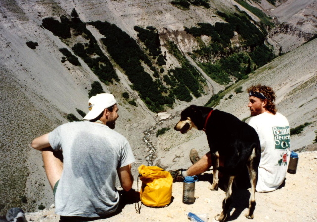
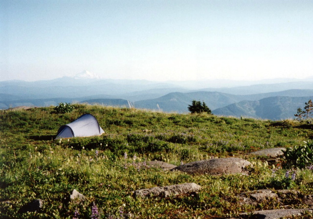
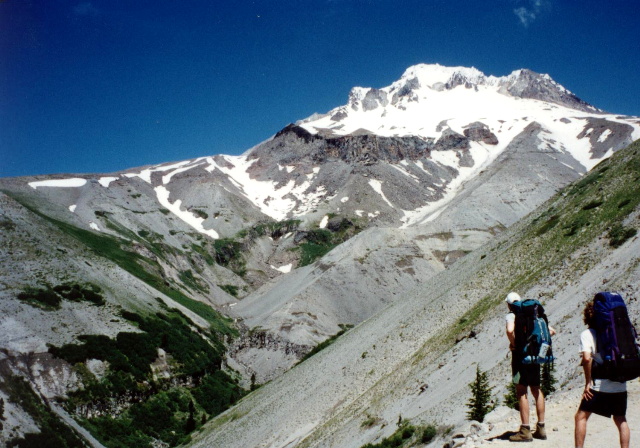
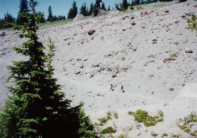
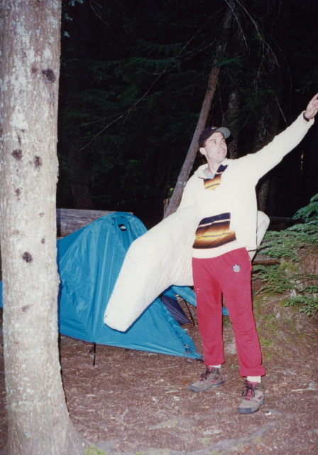
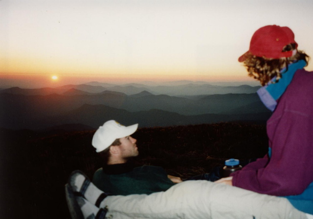
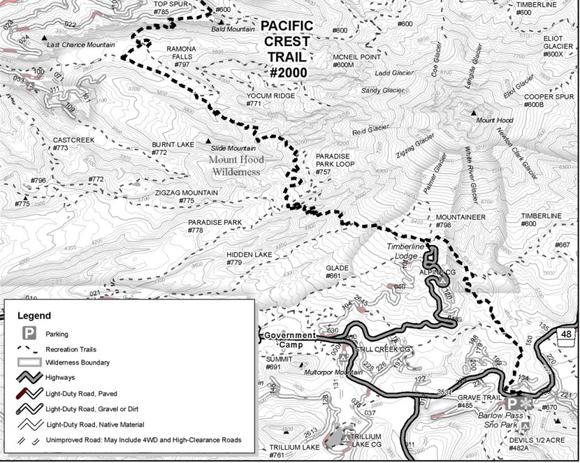
This hike starts at Timberline Lodge and follows The Pacific Crest Trail (PCT) through the Mt. Hood National Forest. The route shares a name with the Timberline Trail #600 near Timberline Lodge. We hiked this trail for five miles, crossed the scenic Zig Zag Canyon, and camped near the base of Mount Hood next to the PCT at Paradise Park. It’s a fairly easy hike out and back and makes for a good day or overnight hike. Many long distance hikers highly recommend this section of the PCT which extends up to Snoqualmie Pass in Washington.
- click for a video of our cross-country road trip during the summer of 1996
- click for a podcast Episode #15 about our cross-country road trip in the summer of 1996
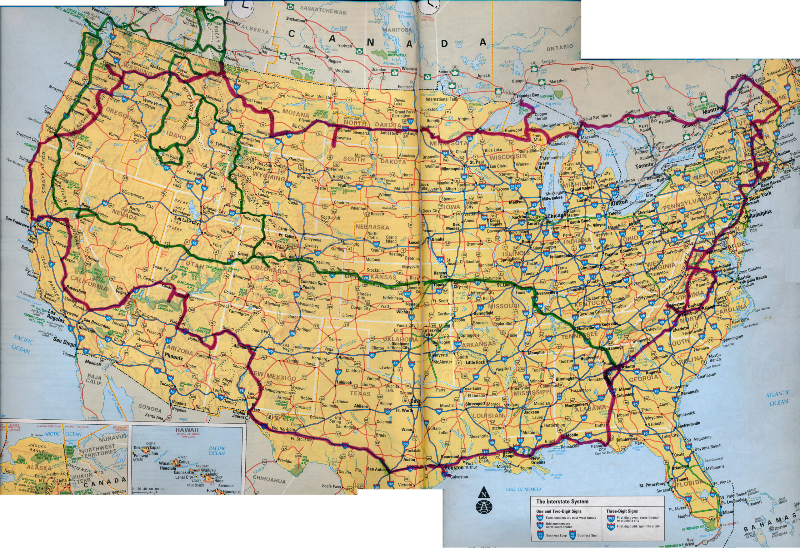
- click for a map of our cross-country routes in the summer of 1996 (red line) and 1998 (green line)
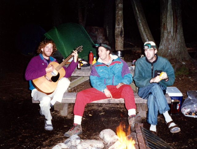
- click for photos from this backpacking trip around Mount Hood: July 20, 1996
- click for a Daytimer report from this hike on the Pacific Crest Trail: July 20, 1996 (password protected)
- click for a Backpacker Log report from this camping trip in the Mt. Hood National Forest: July 20, 2008
- click for a map of the Pacific Crest Trail from the Timberline Lodge trailhead
- click for a topo, profile, and campsite map for this hike around Mount Hood (password protected)
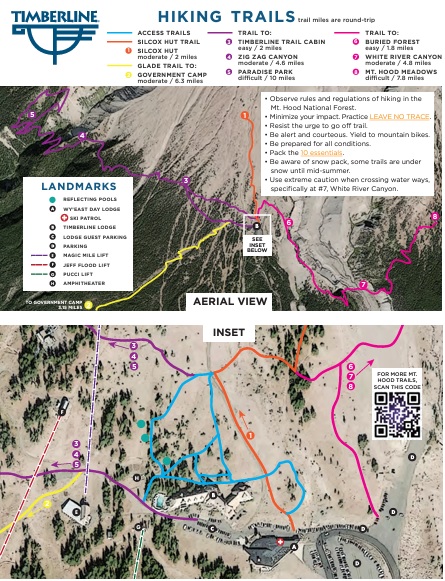
- click for a map of hiking trails around the Timberline Lodge
- click for a topo and profile map from Timberline Lodge to Zig Zag Canyon (password protected)
- click for a backpacking and kayaking trip this month at Isle Royale National Park
- click for hikes at Glenns Lake, Mount Hood, Crater Lake, Redwood Creek, Petrified Forest, and Alkali Flats in July 1996