Shining Rock (via Big East Fork)
Pisgah National Forest
Shining Rock Wilderness
1600 Pisgah Highway
Pisgah Forest, NC 28768
(828) 877-3265
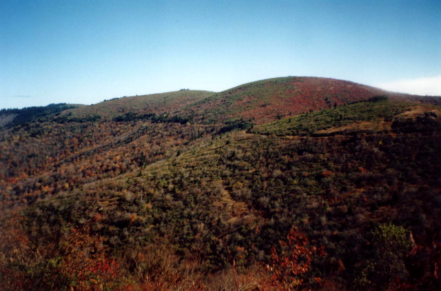
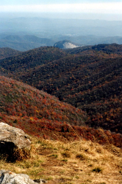
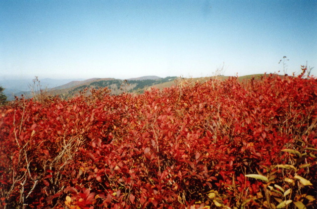
The Shining Rock Wilderness is a series of high elevation ridges with spectacular views in the Pisgah National Forest. Five peaks in the area are over 6000 feet including Cold Mountain (6,030 feet) and Black Balsam Knob (6,214 feet). The wilderness is named for Shining Rock (5,940 feet), however, which is a summit of white quartz located in the middle of the area. The views from here are impressive (although not as drastic as other mountains in the forest), and Shining Rock is a central hub for most of the backcountry trails in the area.
This hike starts at the Big East Fork parking area off of US 276 and climbs along Shining Creek to Shining Rock, then descends back to the parking area via the Old Butt Knob Trail. It is a challenging route that is best done with both a topographical map and GPS. Watch the trail carefully at Shining Rock since their are numerous intersecting trails that make it easy to head in the wrong direction. This happened to us at the end of the Shining Creek Trail, and eventually led us to Dog Loser Knob where we camped for the night.
- click for a photo of Dog Loser Knob with Mount Pisgah Peak in the distance (password required)
- click for a detailed trip report from this hike near Cold Mountain: December 30, 1996 (password required)
- click for a Daytimer report from this backpacking trip in the Shining Rock Wilderness: December 30, 1996 (password required)
- click to purchase the Pisgah Ranger District Trails Illustrated map which details on this area
- click for a topographical and profile map of this hike to Dog Loser Knob
- click for a map of the intersecting trails at Shining Rock Gap (password required)
- click for a photo of the intersecting trails at Shining Rock Gap (password required)
- click for more backpacking trips in the Shining Rock Wilderness in October 1999 and October 2000
- click for a recap of our annual cold weather Klondike Hikes into the wilderness which began in the early 90’s
- click for the guidebook North Carolina Hiking Trails which has details on this destination
- click for more hikes in the State of North Carolina