Nantahala River (via Turkey Creek Campground)
Nantahala National Forest
Wayah Ranger District
Franklin, NC 28734
828-524-6441
This section of the Nantahala River is very popular with both kayakers and rafters and was once used for summer events in the 1996 Olympics. The eight mile river route starts at the put-in thirteen miles west of Bryson City on Highway 19/74. It ends at the Nantahala Outdoor Center or N.O.C. in Wesser, N.C (which is also the access point to the Appalachian Trail). The N.O.C. is a very popular place particularly in the summer months and the river is typically mobbed with both kayakers and rafters in the late morning and early afternoon hours from June through August. There are over twenty named rapids on the damn controlled Nantahala River and a large number of commercial outfitters offer both guided and self-guided kayaking, rafting, and duckie trips. Wesser Falls, a Class III rapid a short distance from the N.O.C., is the largest rapid in this section and there is a wooden platform nearby where many people stop to watch all the action.
- click to see photos from this overnight camping trip near Wesser, North Carolina: August 18, 2000, July 30, 2004
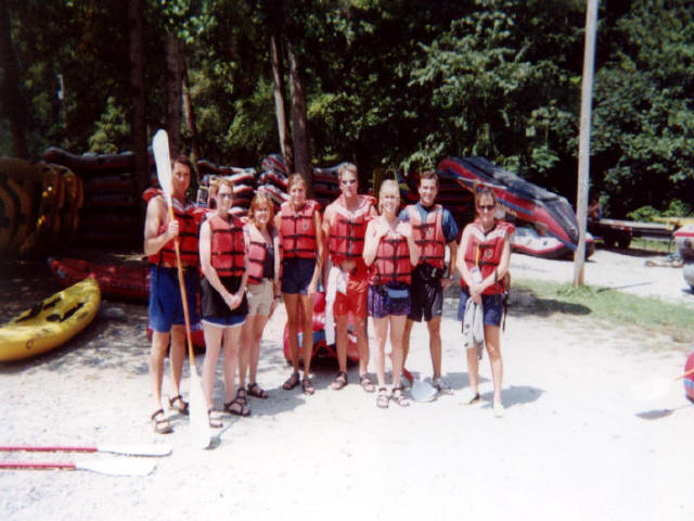
- click to see more photos from this rarfting event at the Nantahala Outdoor Center: July 27, 2001, August 2, 2002, August 1, 2003, July 29, 2005
- click to view a detailed trip report from this trip along the Nantahla River: July 30, 2004 (password required)
- click to read a photo journal from a camping trip near the N.O.C.: August 2, 2002 (password required)
- click to view maps of this rafting trip at the N.O.C.: area map, Turkey Creek campground map, National Forest recreation map, Nantahala River detailed map, park map
- click for the Southeastern Destinations discussion forum
- click to access the guidebook A Canoeing & Kayaking Guide to the Carolinas, 8th which has details on this destination
- click for other North Carolina hiking and backpacking books
- click for hikes in the Nantahala National Forest
- click here to add your hike, trip report, or feedback for this destination