Slickrock Creek (via Big Fat Gap)
Joyce Kilmer Slickrock Creek Wilderness
Nantahla National Forest
Cheoah Ranger District
Route 1, Box 16-A
Robbinsville, NC 28771
(704) 479-6431
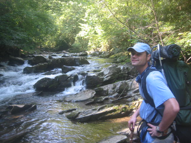
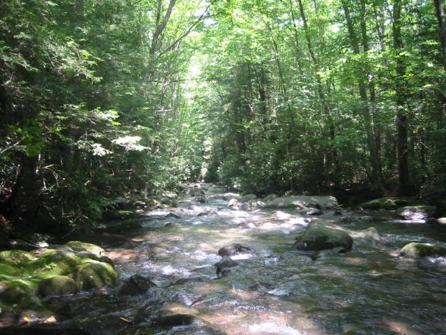
Joyce Kilmer-Slickrock Creek Wilderness was designated with the passage of the 1975 Wilderness Act and expanded in size in 1984 with the North Carolina Wilderness Act. The 17,013 acres of forest shares a common boundary along the Unicoi Mountains with the Citico Creek Wilderness in the Cherokee National Forest in Tennessee, but the majority of land is in the Nantahala National Forest in North Carolina. Although the wilderness is best known for the gigantic strands of virgin timber in the Poplar Cove area, the main watershed of Slickrock Creek is popular with both hikers and fisherman. Slickrock Creek is a premier backcountry destination located within the Joyce Kilmer-Slickrock Wilderness on the North Carolina-Tennessee border, renowned for offering one of the most challenging and isolated outdoor experiences in the eastern United States.
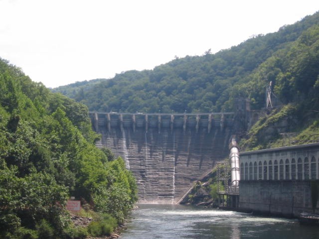
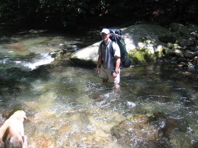
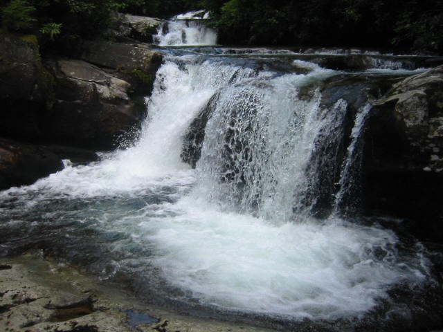
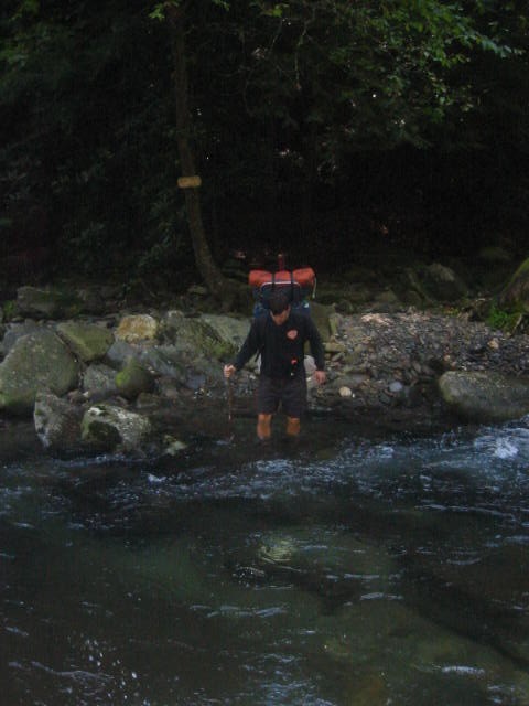
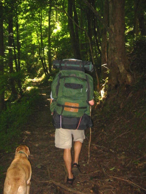
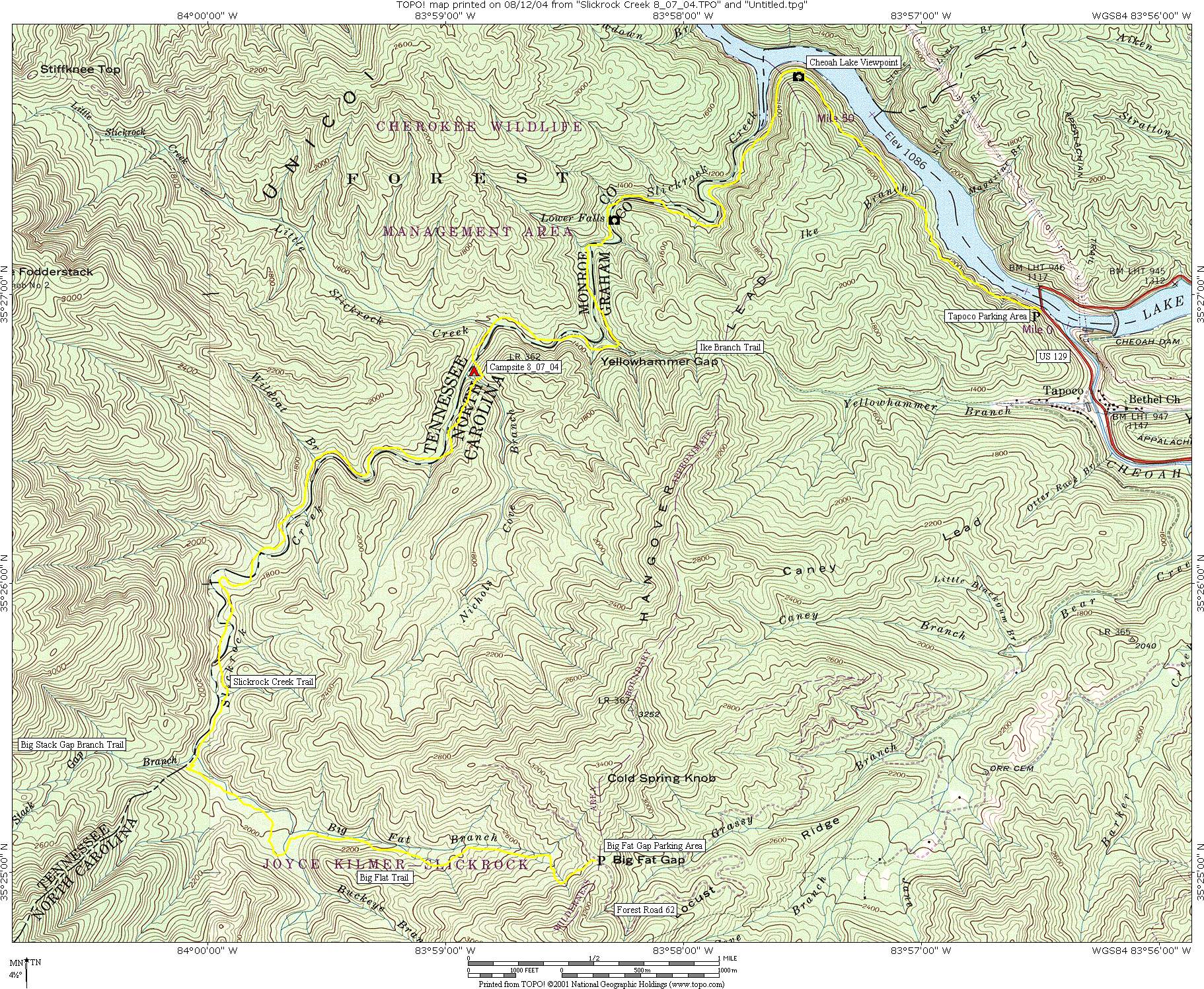
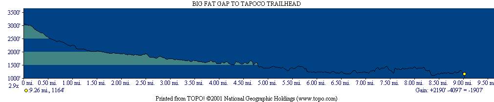
The Slickrock Creek Trail (TR 42) has rugged terrain, dense rhododendron thickets, and over a dozen demanding creek crossings that can become impassable during high water. Because the wilderness is unblazed and often overgrown, it requires advanced navigation skills, making it better suited for experienced backpackers than casual day hikers. This hike starts at Big Fat Gap parking area and descends along the Big Flat Trail to the Slickrock Creek Trail which follows the stream down to its junction with Calderwood Lake. Here the trail climbs a ridge and turns east toward the Tapoco parking area (which is also known as the Slickrock Creek Trailhead) at US 129 near the Cheoah Dam. Wildcat and Lower Falls are two nice waterfalls on the route, but the trail can be difficult to find at times and the numerous creek crossings make this a very challenging hike.
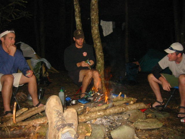
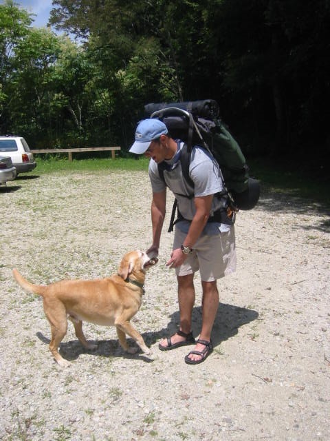
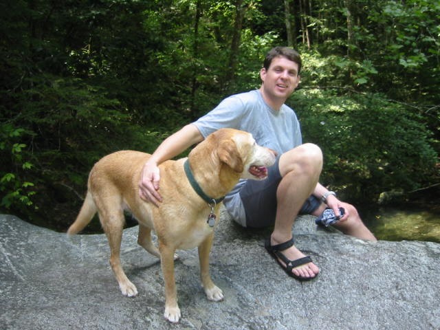
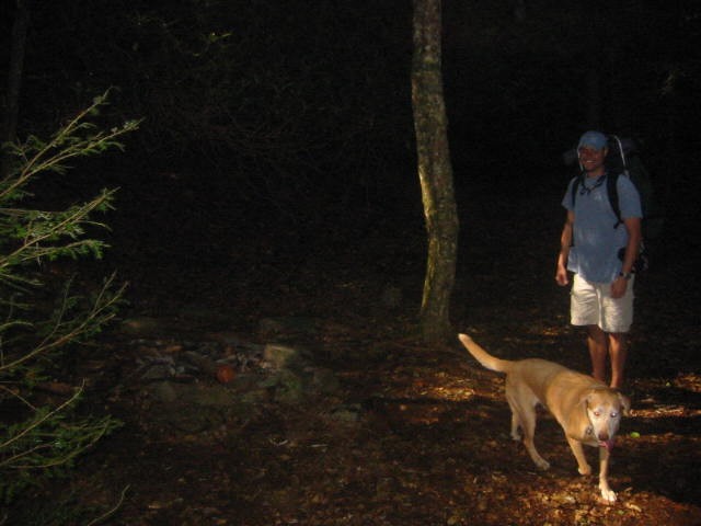
- click for more photos from this hike in the Joyce Kilmer-Slickrock Creek Wilderness: August 7, 2004
- click for a detailed trip report for this hiking trail to Slickrock Creek: August 7, 2004 (password required)
- click for a trip report from this backpacking trip in western North Carolina: August 7, 2004 (password required)
- click for a topographical and profile map from this backpacking trip (password required)
- click for a topo and profile map of this hike along Slickrock Creek (password required)
- click for a hike on the ridgeline to Bob Stratton Bald in October 2011 and October 2013
- click for a hike to the nearby Hangover rock outcropping in November 2002
- click for the guidebook Hiking Trails of Joyce Kilmer-Slickrock And Citico Creek Wilderness
- click for other North Carolina hiking and backpacking books