Joyce Kilmer – Slickrock Creek – Hangover
Joyce Kilmer Slickrock Creek Wilderness
Nantahla National Forest
Cheoah Ranger District
Route 1, Box 16-A
Robbinsville, NC 28771
(704) 479-6431
The Joyce Kilmer-Slickrock Creek Wilderness was officially designated with the passage of the 1975 Wilderness Act and later expanded in 1984 through the North Carolina Wilderness Act. Covering more than 17,000 acres, the wilderness straddles the border of North Carolina and Tennessee along the rugged Unicoi Mountains, sharing a continuous backcountry boundary with the Citico Creek Wilderness in Tennessee’s Cherokee National Forest. Most of the wilderness lies within North Carolina’s Nantahala National Forest and is widely known for its remarkable old-growth forests in the Poplar Cove area, where some towering tulip poplars and hardwoods are estimated to be several hundred years old. The area contains steep ridges, remote creek valleys, dense forests, and a vast network of trails that attract backpackers seeking solitude and a true wilderness experience. Unlike many areas of the southern Appalachians that were heavily logged in the late 1800s and early 1900s, portions of Joyce Kilmer-Slickrock escaped large-scale timber harvesting and preserve some of the finest virgin forest remaining in the eastern United States.
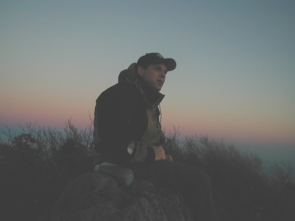
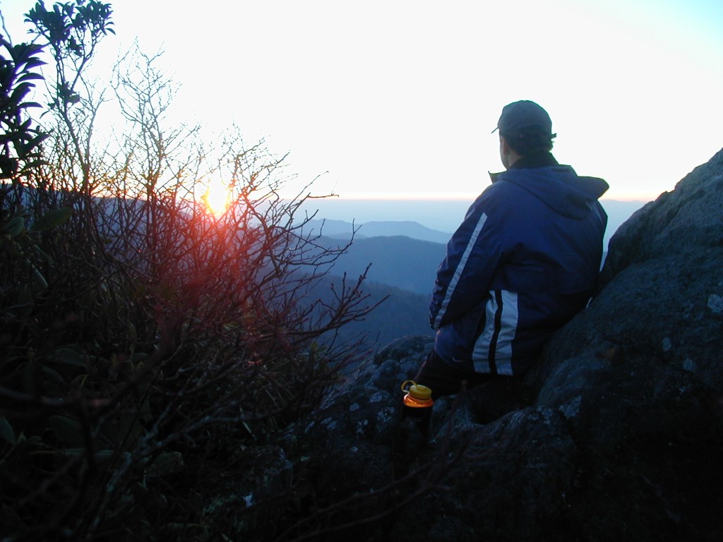
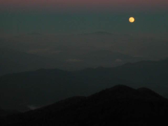
While the massive old-growth trees are the wilderness area’s most famous feature, the high elevations around Stratton Bald and Hangover provide some of the most spectacular mountain views in the Southern Appalachians. Both locations rise above 5,000 feet and offer sweeping 270- to 360-degree vistas across the Cherokee and Nantahala National Forests, with endless layers of blue ridges stretching to the horizon. Hangover itself is a dramatic rock outcropping perched high above the surrounding valleys and is known for its rugged cliffs, exposed ledges, and unforgettable sunsets and sunrises. Nearby Naked Ground provides several established campsites and a dependable water source, making it a popular overnight destination for backpackers. This hike begins at the Wolf Laurel trailhead and follows a demanding route of repeated climbs and descents through remote forest terrain before finally reaching the breathtaking overlook at Hangover.
- click for more photos from this hike in Joyce Kilmer-Slickrock Creek Wilderness: November 19, 2002
- click for a detailed trip report from this hiking trail to Hangover: November 19, 2002 (password required)
- click for a trip report from this backpacking trip to Hangover: November 19, 2002 (password required)
- click for the Fontana and Hiwassee Lakes Trails Illustrated Map which has details of this area
- click for a topo and profile map of this backpacking trip to Hangover (password required)
- click for a Trails Illustrated map with multiple access points to this area (password required)
- click for a hike to Bob Stratton Bald the previous year in October 2001
- click for a hike in the valley of the Joyce-Kilmer Slickrock Creek Wilderness in August 2004
- click for other North Carolina hiking and backpacking books
- click for the guidebook Hiking Trails of Joyce Kilmer-Slickrock And Citico Creek Wilderness
- click for more hikes in the State of North Carolina