Appalachian Trail #3 (NH 25A to Kinsman Notch)
Appalachian Trail Conservancy
799 West Washington Street
Harpers Ferry, WV 25425
(304) 535-6331

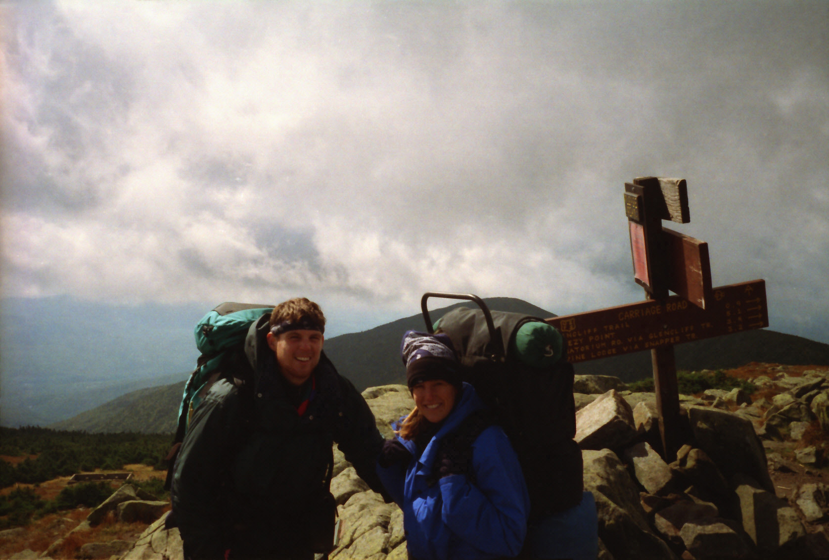
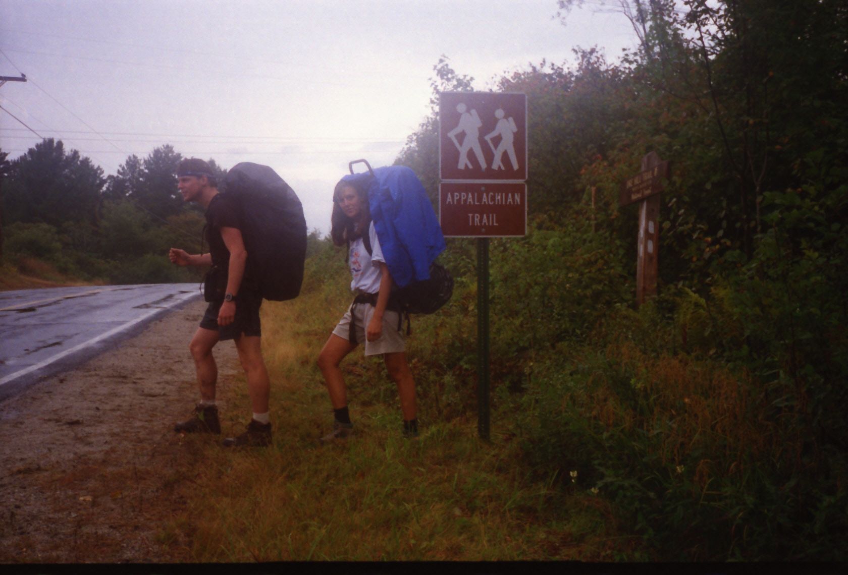
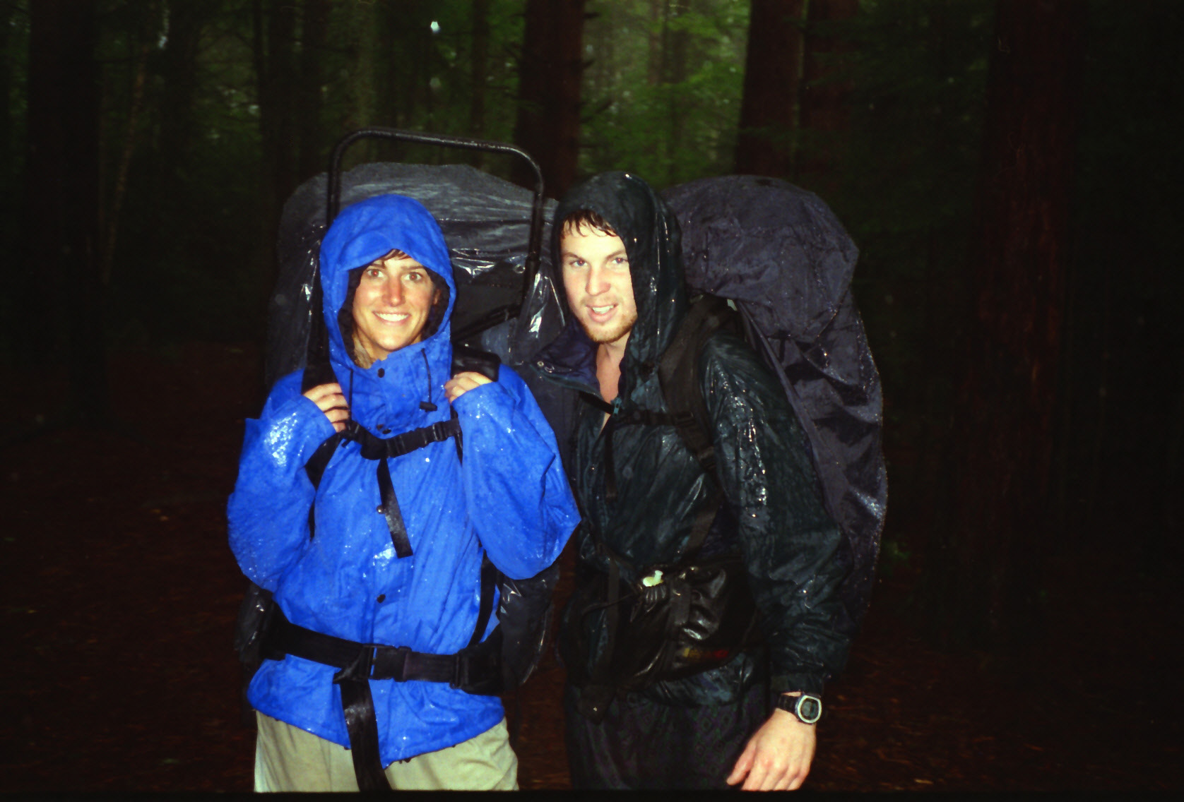
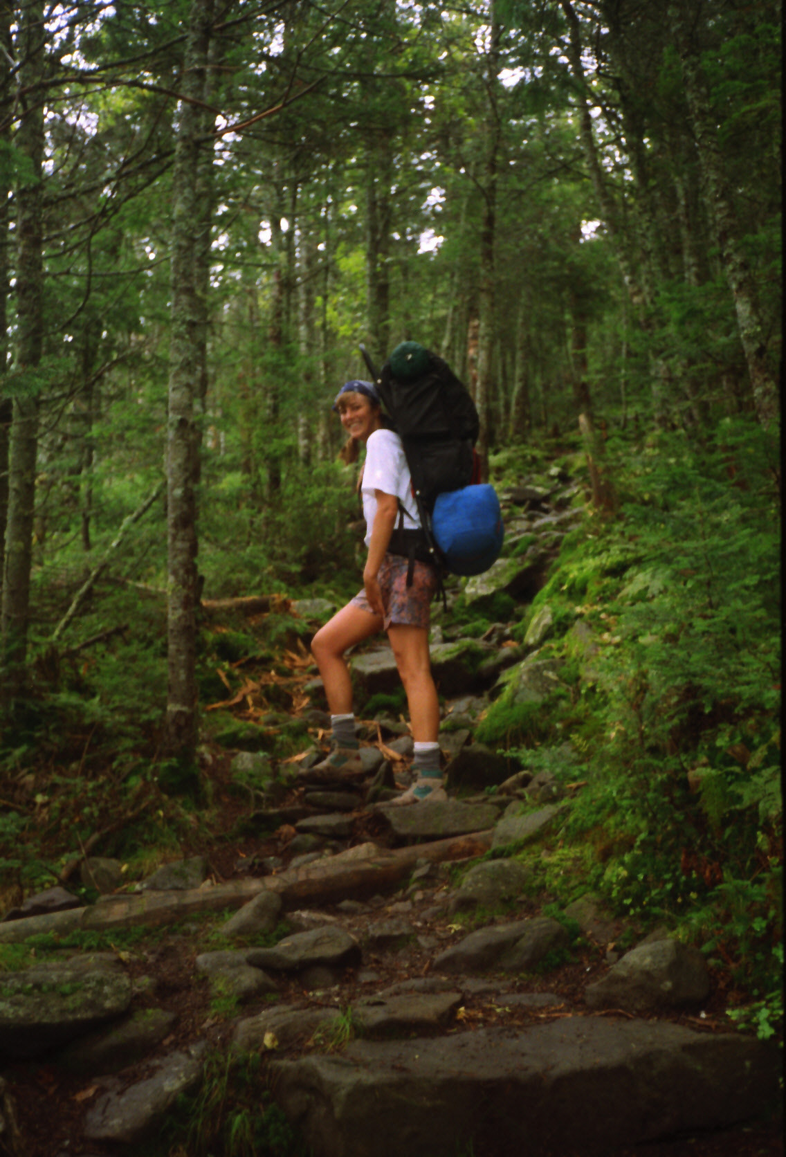
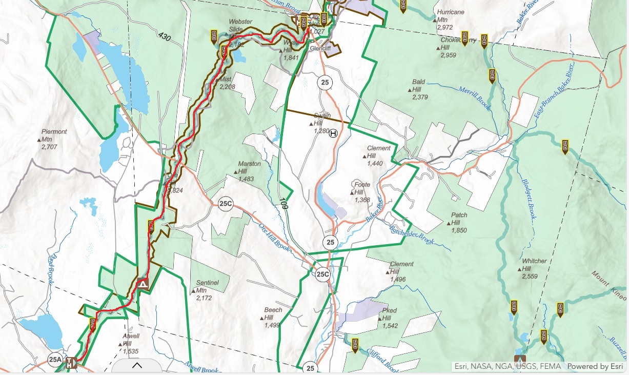
The Appalachian Trail (AT) section in New Hampshire from US 25A to Kinsman Notch leads to the peaks of the North and South Kinsman mountains with excellent views of Franconia Notch and the surrounding White Mountains. This hike, often part of the Kinsman Ridge Trail, has a northern hardwood-spruce forest and passes by Lonesome Lake and Kinsman Pond. Sturdy footwear is essential in this section due to the rocky and steep terrain.
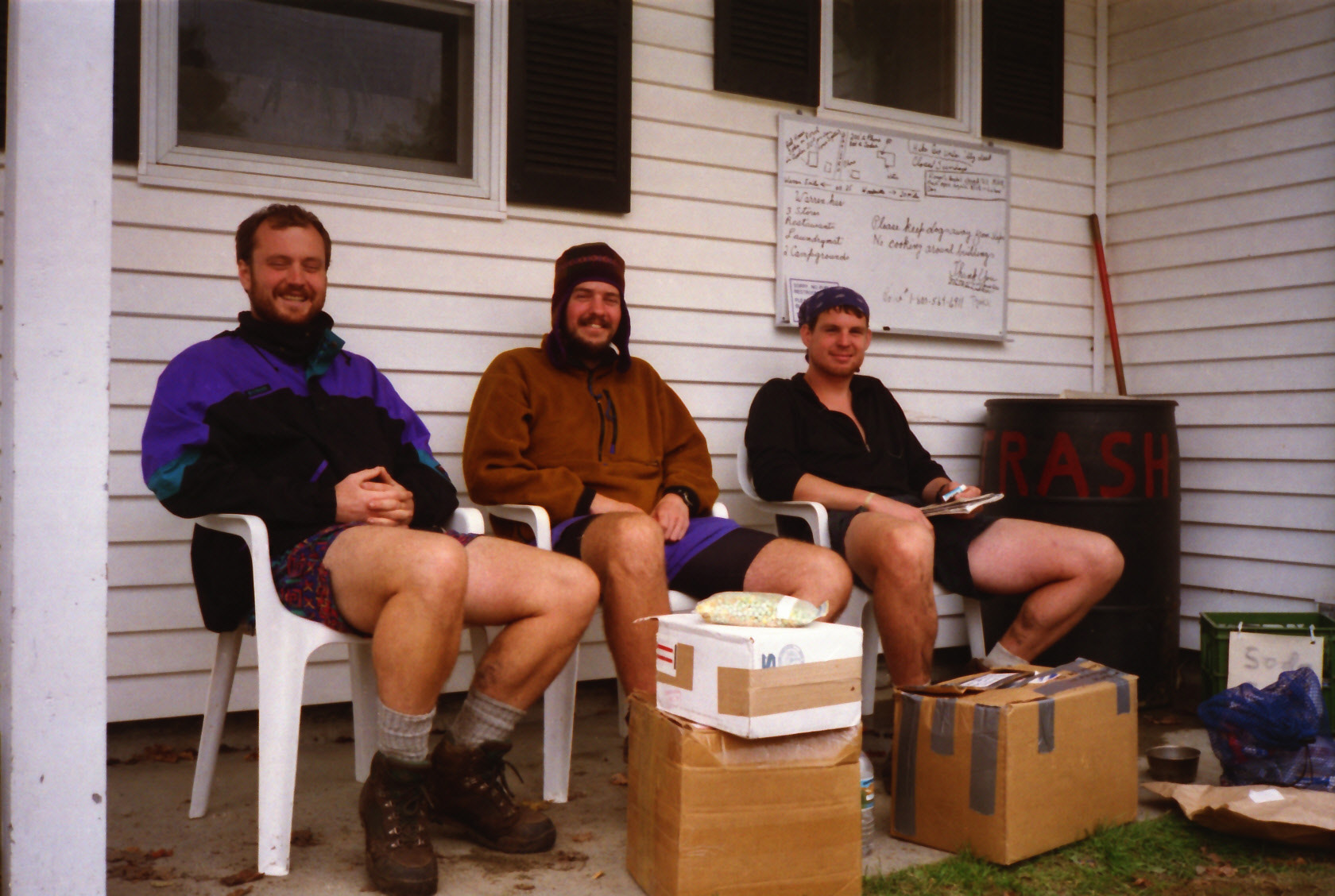
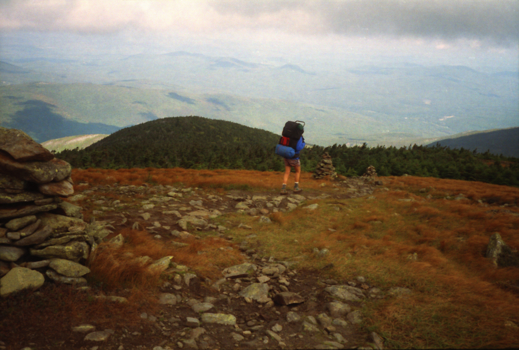
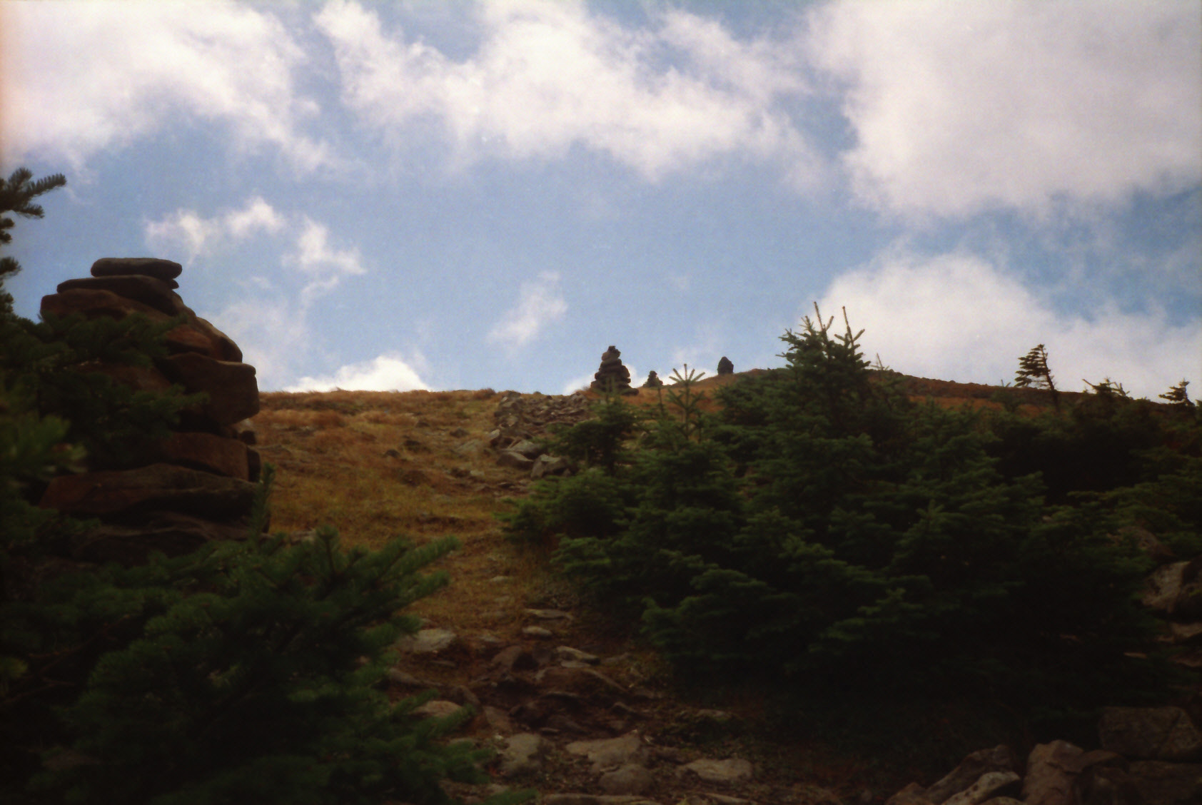
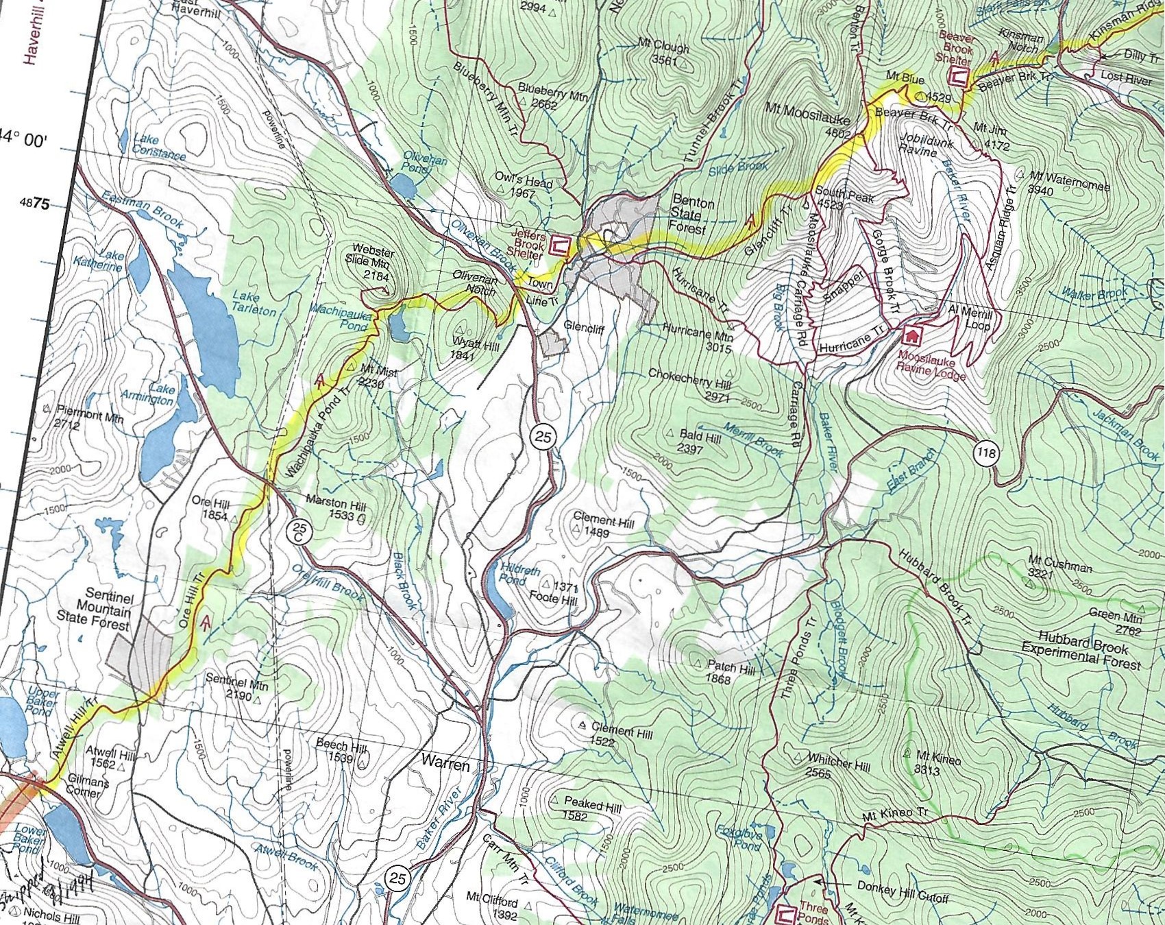
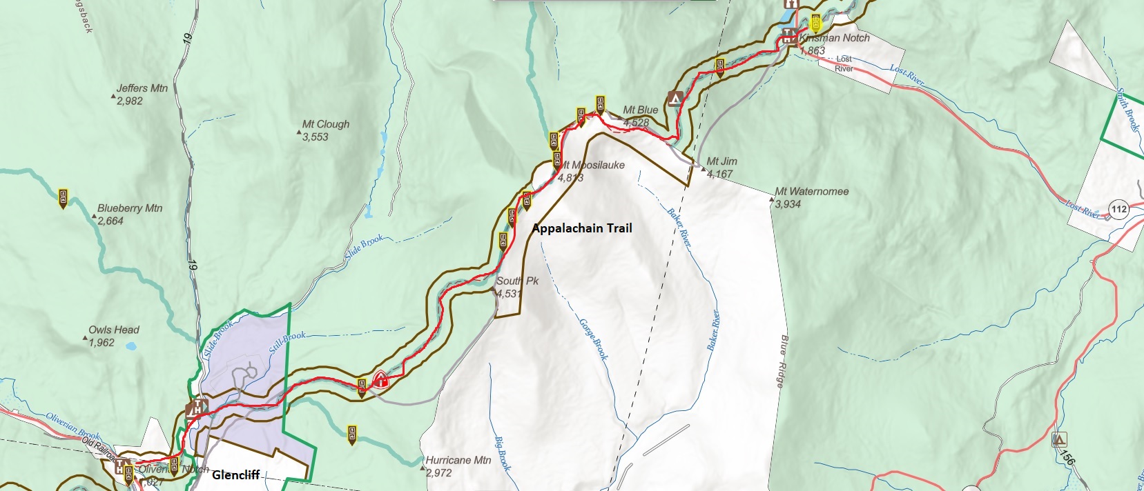
Glencliff (population ~100) sits in a valley between Smarts Mountain and Mt. Moosilauke and the post office here is a common re-supply point for northbound hikers. The treeless ridges to the north are susceptible to severe weather year round, and Glencliff is a popular place to ship cold weather gear before the first major ascent above tree line at Mount Moosilauke (4,802 ft). The climb up the mountain is a significant challenge in this section. The summit is mostly above tree line and is often exposed to harsh weather – but it has outstanding 360-degree views on a clear day. Five states are visible from the summit of Mount Moosilauke – so plan your trip during good weather if possible. The descent from Moosilauke is also steep and strenuous and follows Beaver Brook to Kinsman Notch and NH 112, which is a short distance from the Town of Woodstock.
- click for a short video slideshow of my 1994 thru-hike on the Appalachian Trail
- click for more photos from this hike on the A.T. in New Hampshire: September 9-16, 1994
- click for a Daytimer report from this section of the A.T. in New Hampshire (password required)
- click for a trail journal from my A.T. thru-hike in New Hampshire: September 1-8, 1994
- click for a trail map from NH25A to NH 25 and NH25 to Kinsman Notch
- click for a trail map from NH25A to Kinsman Notch
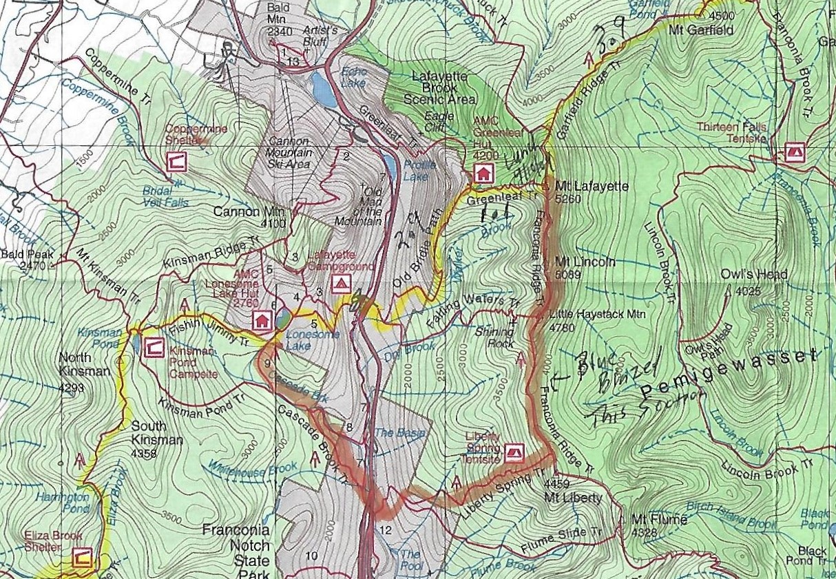
- click for a trail map from the Lafayette Campground area
- click for a map of the hiking trails in Franconia Notch State Park
- click for a trail map of the Appalachian Trail in New Hampshire (password protected)
- click for a trail map of the entire ~2200 mile Appalachian Trail
- click for more information on the Appalachian Trail
- click to purchase the guidebook Appalachian Trail: New Hampshire – Vermont
- click for more hiking & backpacking trips in the State of New Hampshire