Isle Royale
Isle Royale National Park
800 East Lakeshore Drive
Houghton, MI 49931-1869
906 482-0984

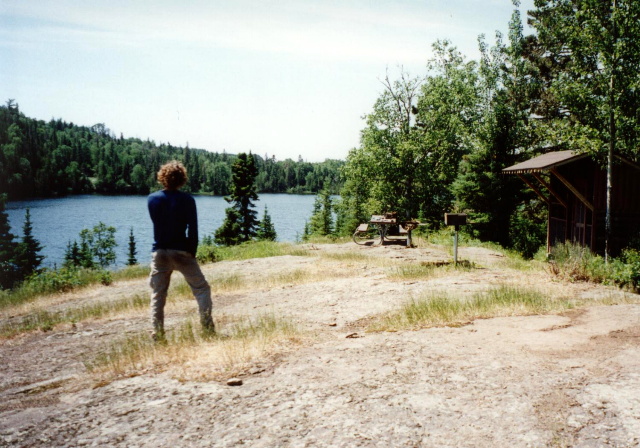
Isle Royale National Park sits on a remote island in the middle of Lake Superior, and is 45 miles long and nine miles wide. The island is a wild northern forest and it is packed with inland lakes where both moose and wolves roam. The weather changes quickly and is much cooler than the mainland due to the cool crystal-clear waters of Lake Superior. Isle Royale National Park encompasses a total area of 850 square miles including submerged lands which extends four and a half miles out into Lake Superior. The archipelago is composed of many parallel ridges resulting from ancient lava flows which were tilted and glaciated, and Isle Royale has 165 miles of scenic hiking trails and 36 campgrounds for backpackers and recreational boaters. There is excellent fishing, historic lighthouses and shipwrecks, ancient copper mining sites, and plenty of spots to observe wildlife.
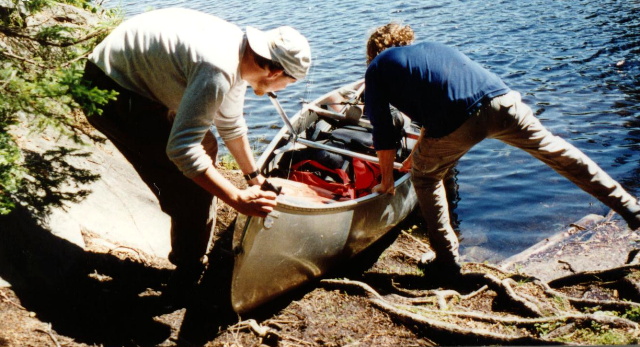
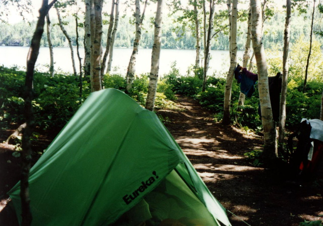
We used both canoes and backpacks to explore the island, and spent five days portaging between interior lakes so that we could do a fair amount of fishing. The route we chose was a difficult one, but took us into some remote areas in the park where we spent two of four nights alone on inland lakes. There are easier canoe routes that do not require a portage, and hikers and backpackers have a number of options for day and overnight hikes in the park. So it’s easy to tailor a trip that is right for you. Access to the island is by boat or float plane, so you’ll need to make arrangements on the mainland for transportation to the island.
- click for a movie of our 17,000 mile trip across the United States in 1996
- click for a podcast from this cross-country road trip in the summer of 1996
- click for more photos from this canoe trip in Isle Royale National Park: July 7, 1996
- click for a Daytimer report from this trip on Lake Superior: July 7, 1996 (password required)
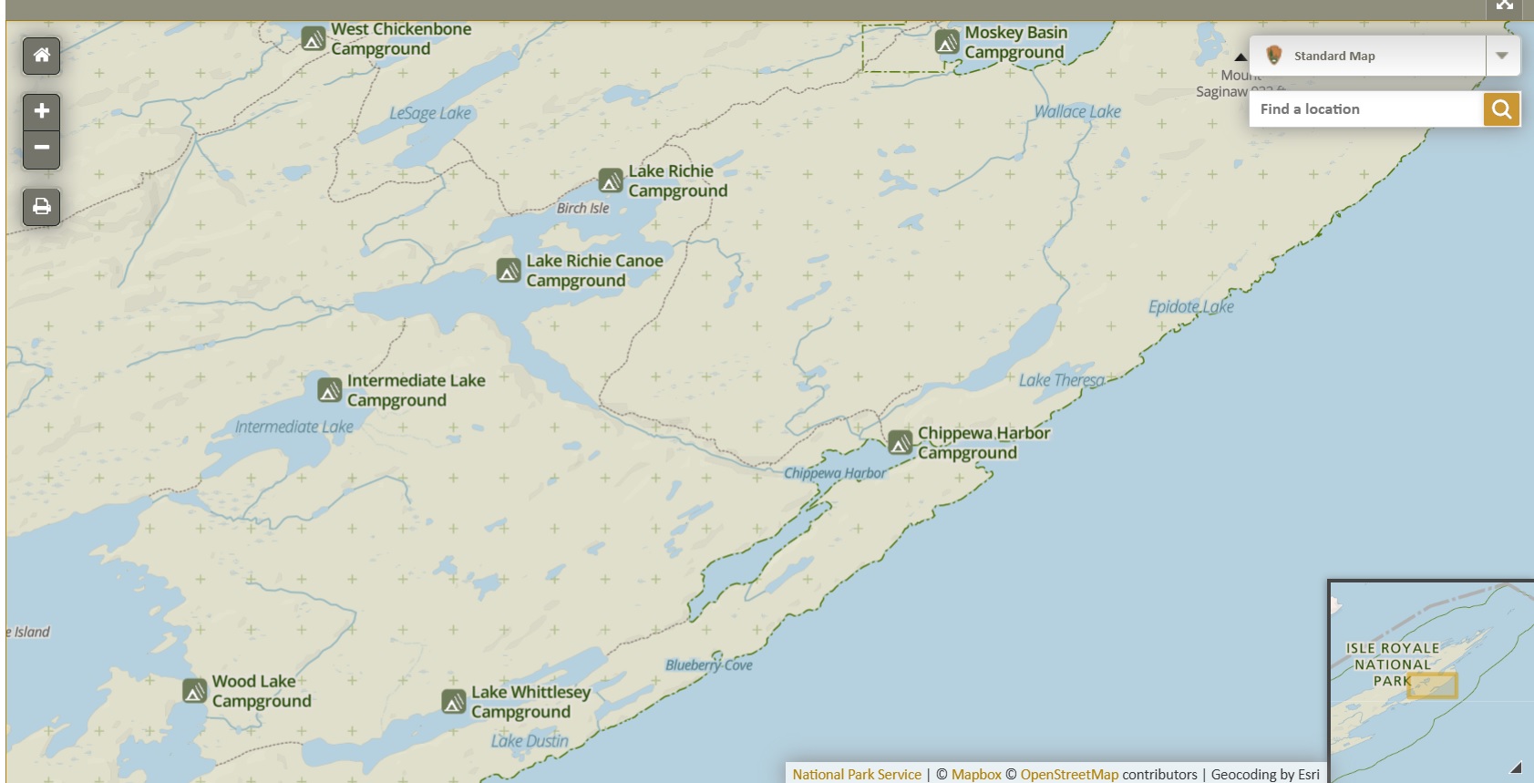
- click for an area map of Isle Royale National Park
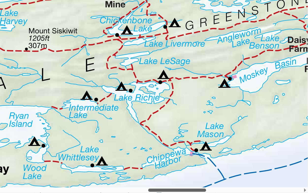
- click for a park map of the hiking and canoe trails at this park
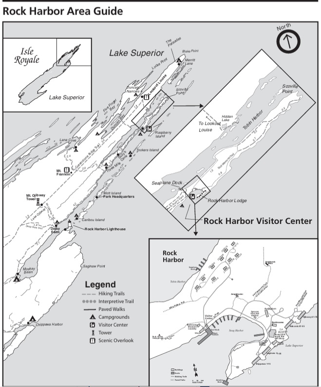
- click for a harbor map from the Rock Harbor Visitor’s Center
- click for a lake map of the inland lakes at Isle Royale
- click for a trail map of the hiking and canoe trails at this park
- click for more hikes at Glenns Lake, Mount Hood, Crater Lake, Redwood Creek, Petrified Forest, and Alkali Flats in July 1996
- click for the guidebook Hiking Michigan for more hikes in this area
- click for links to other outdoor books and magazines
- click for more hikes in the State of Michigan