Appalachian Trail #7 (Caratunk to Pleasant Pond Shelter)
Appalachian Trail Conservancy
799 West Washington Street
Harpers Ferry, WV 25425
(304) 535-6331

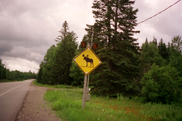
The 282 miles of the Appalachian Trail in Maine is generally considered the most difficult of the fourteen states that the A.T. traverses. While the elevations seldom top 4,000 feet , the terrain is often difficult and there are frequent rock scrambles through very rugged terrain. The hiking season in Maine is typically from late May to early October. Snow can linger on higher peaks into June, and weather can change rapidly. The Appalachian Trail Conservancy (ATC) does not recommend the Maine A.T. for novice hikers. There are limited bridges in the State due to the spring snowmelt and the streams on the trail require frequent fording. Slippery and sometimes hazardous weather can occur at any time, and the Maine A.T. is frequently remote to say the least. In some sections, don’t expect to hike more than a mile an hour and get used to steep ascents and descents. That said – the Maine A.T. has some of the most stunning and remote wilderness on the entire trail. It is often cited as a favorite State for many A.T. thru-hikers.
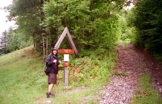
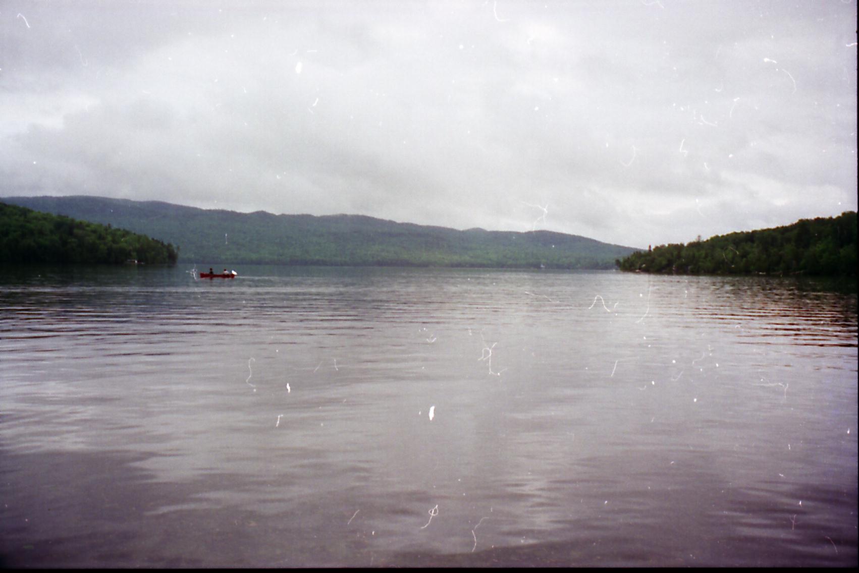
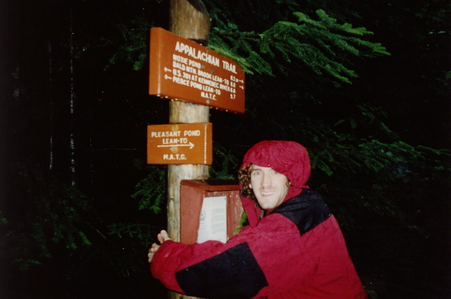
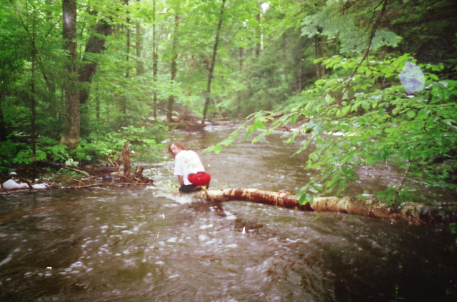
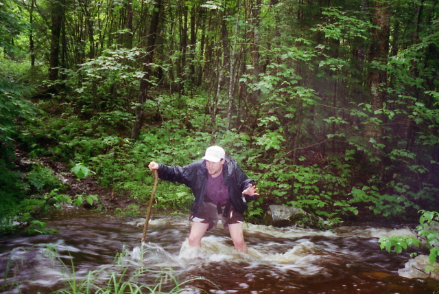
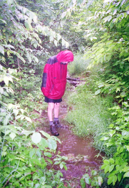
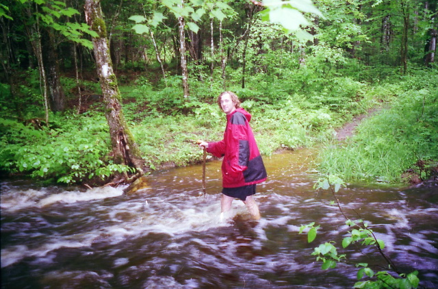
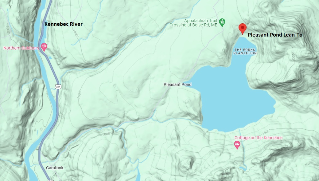
The short hike to Pleasant Pond Shelter starts on US 201 just outside of Caratunk, Maine. The trailhead is just across the road from the Kennebec River, and this is a relatively easy section of the A.T. that we hiked on our 1996 cross-country trip. The trail climbs gradually from the highway through mixed hardwood and softwood forests and mostly follows a small stream as it climbs toward Pleasant Pond. The stream required constant fording on our trip as it was swollen from heavy rains that resulted in a a flash flood. We managed to complete the section without incident, and expect that you’ll have much better weather than we did if you hike this section of the A.T. There are excellent views across Pleasant Pond when you reach the shelter and walk the short distance to the shore.
- click for a video of our cross-country road trip during the summer of 1996
- click for a podcast Episode #15 about our cross-country road trip in the summer of 1996
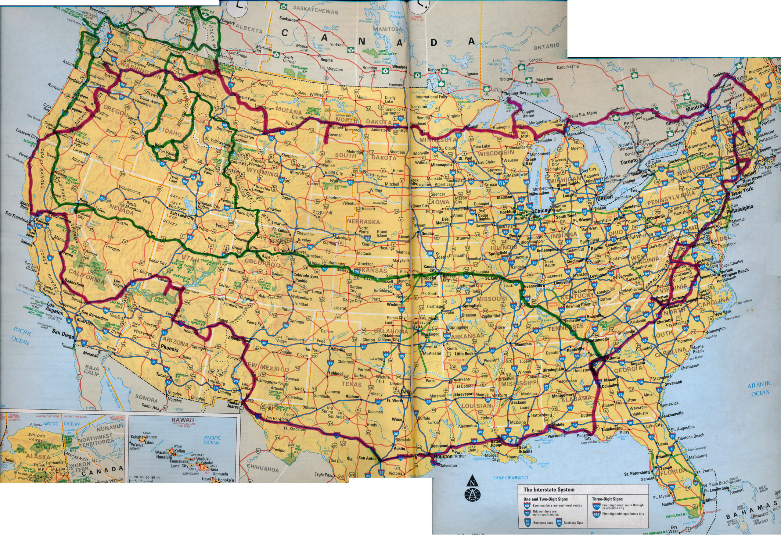
- click for a map of our cross-country routes in the summer of 1996 (red line) and 1998 (green line)
- click for more photos from this day hike on the Appalachian Trail to Pleasant Pond: July 5, 1996
- click for a Daytimer report from this hike near Caratunk, Maine: July 5, 1996 (password protected)
- click for a map of the Appalachian Trail in New England (password protected)
- click for a topo & proflie map of the A.T from Caratunk to Pleasant Pond (password protected)
- click for a trail & profile map of the A.T. from the Kennebec River to Monson (password required)
- click for a photo gallery from my A.T. thru-hike through Maine: September 19-October 2, 1994
- click for more information on the Appalachian Trail
- click for Appalachian Trail hiking and backpacking books
- click for the guidebook Appalachian Trail: Maine which has details on this destination
- click for other Maine hiking and backpacking books