Appalachian Trail #1 (NH/ME Border to Sabbath Day Pond)
Appalachian Trail Conservancy
799 West Washington Street
Harpers Ferry, WV 25425
(304) 535-6331

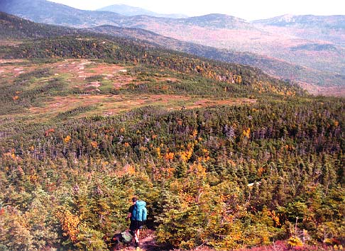
The 282 miles of the Appalachian Trail in Maine is generally considered the most difficult of the fourteen states that the A.T. traverses. While the elevations seldom top 4,000 feet , the terrain is often difficult and there are frequent rock scrambles through very rugged terrain. Even the Appalachian Trail Conservancy (ATC) does not recommend the Maine A.T. for novice hikers. There are limited bridges in the State due to the spring snowmelt and the streams on the trail require frequent fording. Slippery and sometimes hazardous weather can occur at any time, and the Maine A.T. is frequently remote to say the least. In some sections, don’t expect to hike more than a mile an hour and get used to steep ascents and descents. That said – the Maine A.T. has some of the most stunning and remote wilderness on the entire trail. It is often cited as a favorite State for many A.T. thru-hikers.
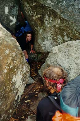
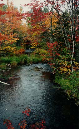
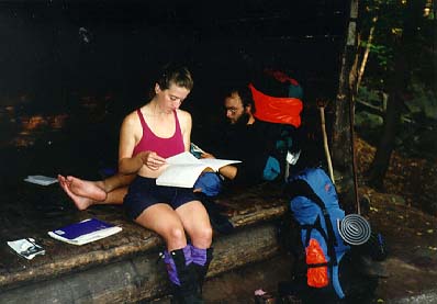
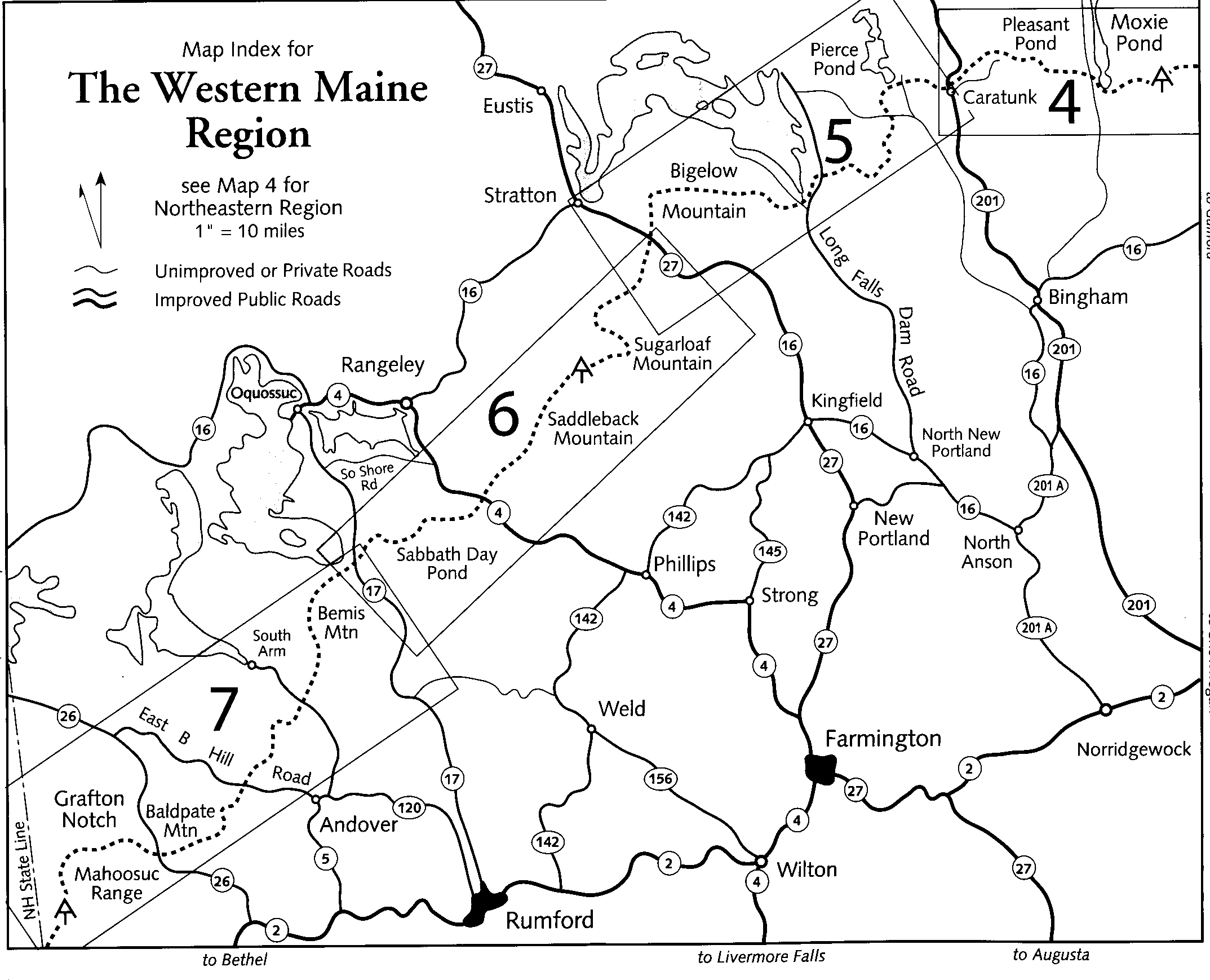
Backpackers that start their journey in Georgia spend four to six months thinking about Maine. Tfirst section is a tough introduction to the State once you cross the New Hampshire border. Many thru-hikers slow down to less than a mile an hour in this section, particularly in the Mahoosuc Notch which is located in the southwestern portion of Maine. The notch is infamous for having the single hardest mile on the A.T. since you climb over, under, and around car-sized boulders — some with ice lingering even in the summer months. Old Speck Mountain (4,170 ft), Grafton Notch State Park, the Bemis Range, and Rangeley Lake are also highlights of this section. Our hike started at the border and ended at Sabbath Day Pond which has a shelter that sits just above the pond’s shore. It is a scenic backcountry lake that is surrounded by evergreen trees and has loons that can often be heard calling throughout the night.
- click for a short video slideshow of my 1994 backpacking trip on the Appalachian Trail
- click for more photos from this section on the Appalachian Trail in Maine: September 19-October 2, 1994
- click for a detailed trail journal from the Appalachian Trail in Maine: September-October, 1994
- click for a Daytimer report from this section of the A.T. in Maine: September and October 1994 (password required)
- click for a topo and profile map of the A.T. from the New Hampshire border to ME 17 (password required)
- click for a topo and profile map of the A.T. from ME 17 to ME 27 (Stratton) (password required)
- click for a topo and profile map of the A.T. from ME 27 (Stratton) to the Kennebec River (password required)
- click for a map of the Appalachian Trail in New England (password required)
- click for more information on the Appalachian Trail
- click for the guidebook Appalachian Trail: Maine which has details on this area
- click for other Maine hiking and backpacking books