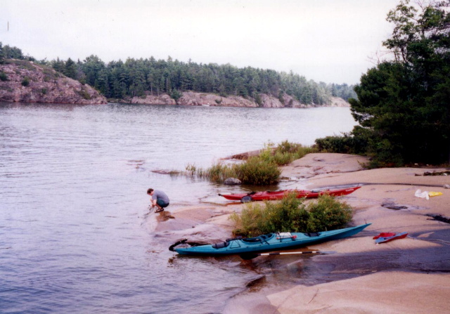
Beaverstone Bay
Ontario Provincial Government
Highway 637
Killarney, Ontario P0M 2A0
Canada
(705) 287-2900

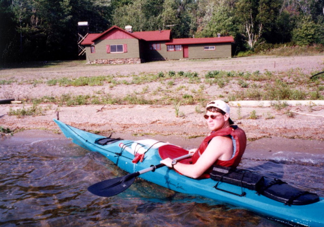
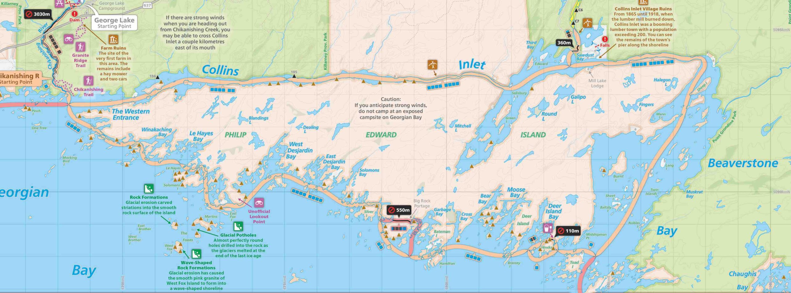
Philip Edward Island is located near Killarney and just off the mainland in the Georgian Bay in northeastern Ontario. Collins Inlet cuts an east to west corridor separating the island from the mainland by less than a mile. The southern shore is exposed to the waves and winds of the Bay creating an incredible shoreline with sandy beaches in some areas. There are hundreds of islands that line the shoreline providing lots of opportunities to explore.
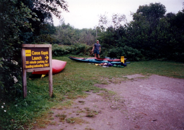
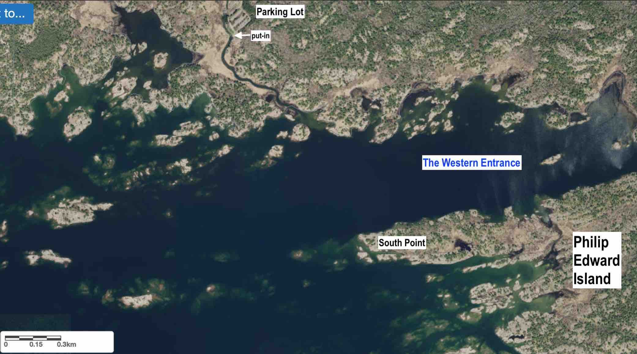
Beaverstone Bay sits just off the Georgian Bay in Northern Ontario and shares its water with Lake Huron. It is located between Philip Edward Island and the mainland and many sailboats enters its waters and follow the Collins Inlet seeking shelter (and sometimes overnight protection) from the winds and waves of Lake Huron. This kayaking trip starts at the Chikanishing Creek just outside of Killarney and ends at Beaverstone Bay. In the Bay (and throughout Collins Inlet) there are numerous islands that make great campsites and you will have a chance to enjoy some swimming, fishing and the abundant wildlife while you are in the area.
- click to see videos from our travels in Northern Ontario (password required)
- click to see photo galleries from Beaverstone Bay (password required)
- click to read trip reports from our travels to Ontario, Canada (password required)
- click to see an early 90’s aerial photo of the legendary Camp Fugarwi in Ontario, Canada
- click to compare an aerial view of the cabin in 2017 to the early 1990’s
- click for a map of the Killarney area including the nearby Provincial Parks
- click for a map of Phillip Edward Island near Killarney, Ontario
- click for a map of our paddling trip from Chikanishing Creek to Dupuis Bay (password required)
- click for more international hikes