Sweetwater Falls
Sweetwater Creek State Park
1750 Mt. Vernon Road
Lithia Springs, GA 30122
(770) 732-5871
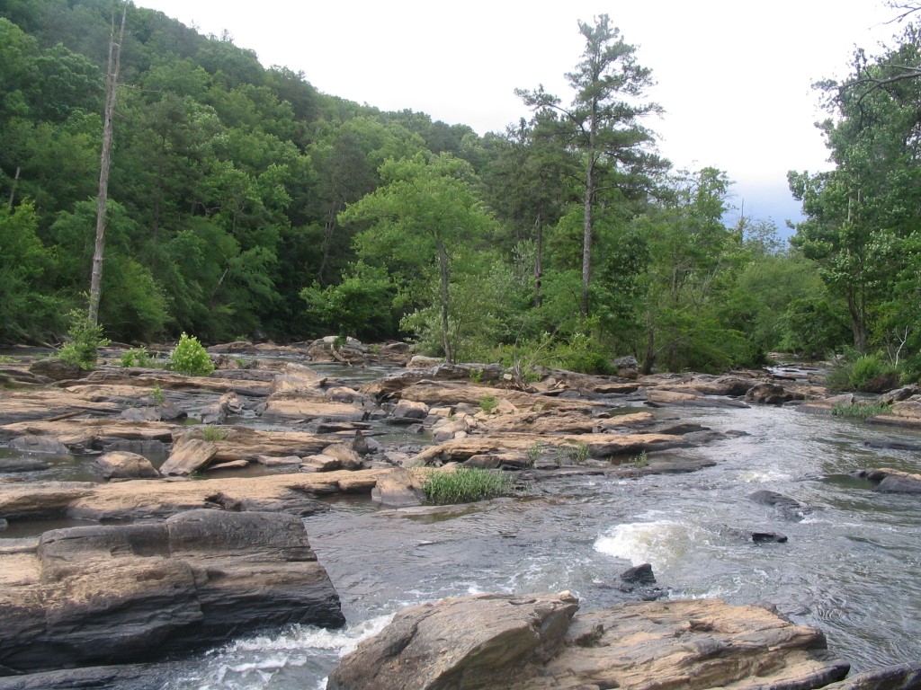
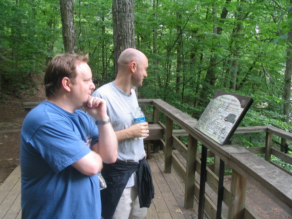
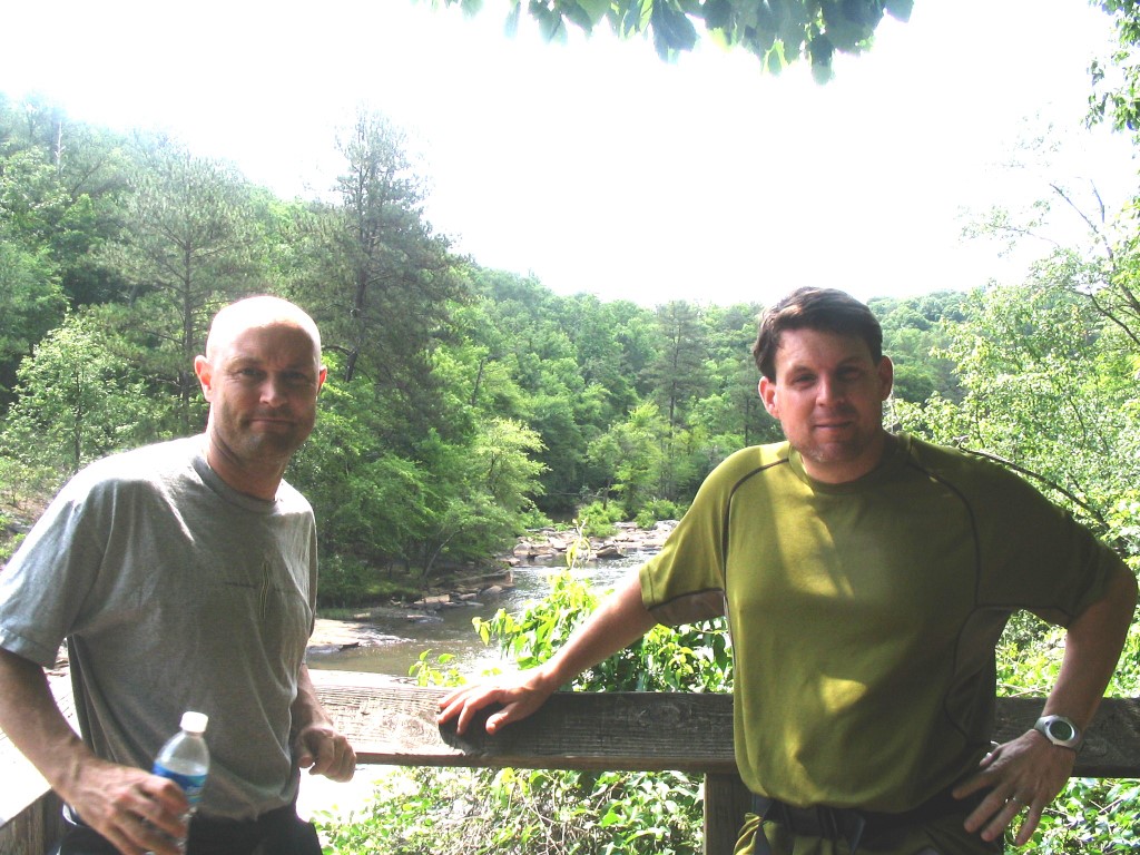
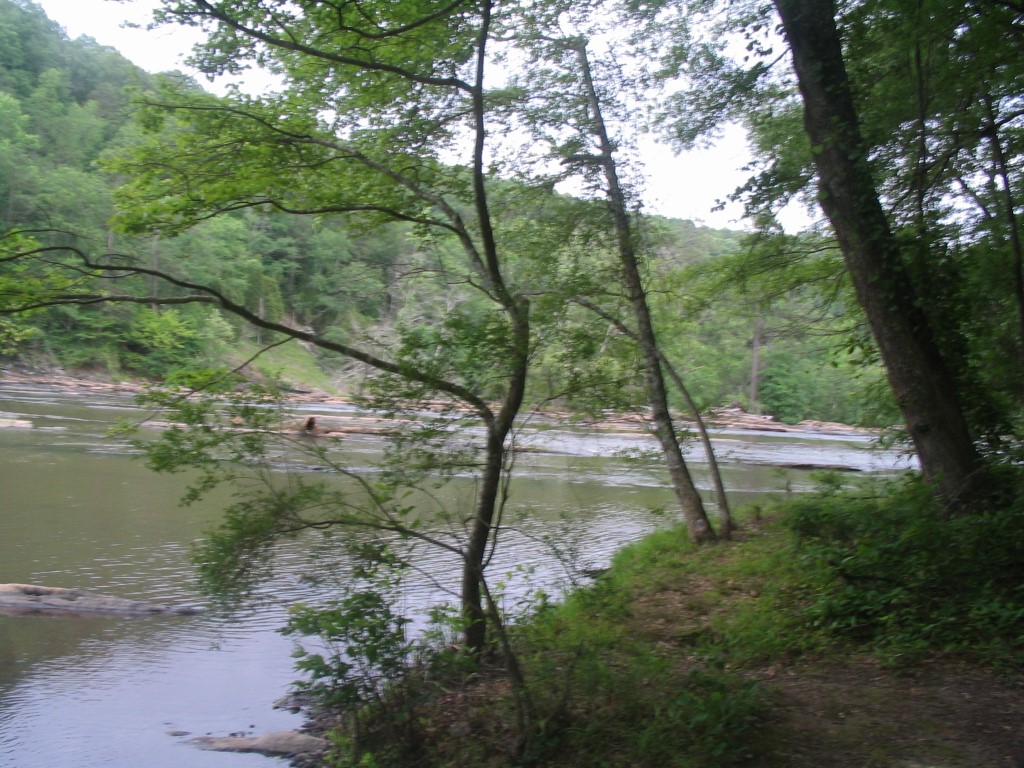
Sweetwater Creek State Park has over nine miles of hiking trails and is located only a short distance from downtown Atlanta. The Sweetwater Creek Conservation Park was created to preserve the unique natural and cultural history of the area and this hike along the creek includes a trip to the ruins of the New Manchester Manufacturing Company. The mill made clothing for the Confederate troops during the Civil War before it was burned by General Sherman’s troops in 1864. Along the creek (which looks more like a river than a stream), there are numerous overlooks including one of Sweetwater Falls located at the junction of the red, white and blue trails.
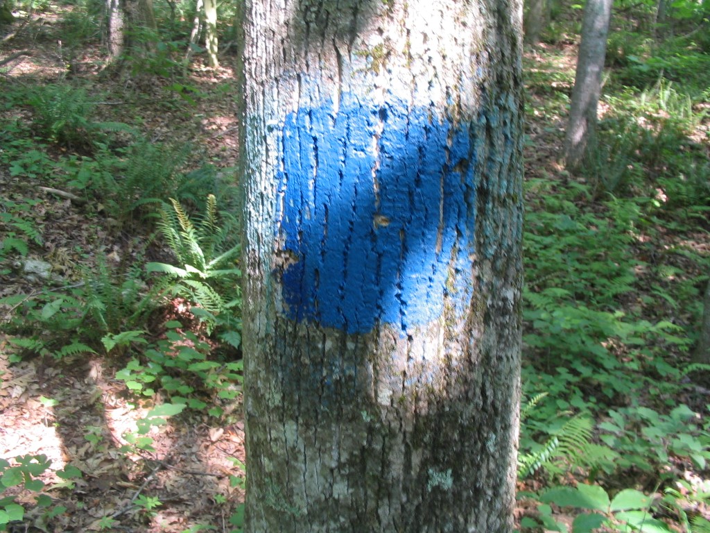
This loop hike at Sweetwater Creek State Park combines the red and blue trails to make a nice loop through the park. To start, follow the red trail down to the water, then continue along Sweetwater Creek over a series of bridges and boardwalks for about a mile. There are outstanding views of the creek and Sweetwater Falls from platforms positioned along the red trail. At Sweetwater Falls, the route then loops back to the parking area via the blue blazed trail which after two additional miles passes the visitor’s center and returns to the trailhead. Stop at the visitor’s center to see a replica of the mill and articles of clothing that date to the late 1800’s. The blue blazed route runs mostly along the ridge and through a heavily wooded area with limited views. Sweetwater Creek State Park is a day-use facility, and there are not currently any overnight facilities for hikers and backpackers. Eleven picnic shelters and one group shelter are available for day-use, however.
- click to see more photos from this hike at Sweetwater Creek State Park: May 1, 2008
- click for a detailed trip report for this walk along Sweetwater Creek: May 1, 2008 (password required)
- click for a trip report from this hike near Lithia Springs, Georgia (password required)
- click for an area map of Sweetwater Creek State Park,
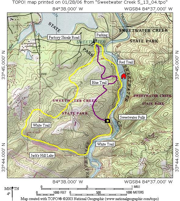
- click for a topographical and profile map of this hike to Sweetwater Falls
- click for a park map of Sweetwater Creek State Park
- click for another hike at Sweetwater Creek in March 2004
- click to access the guidebook Best Hikes With Dogs Georgia And South Carolina which has details on this destination
- click for other Georgia hiking and backpacking books
- click for more hikes in the State of Georgia