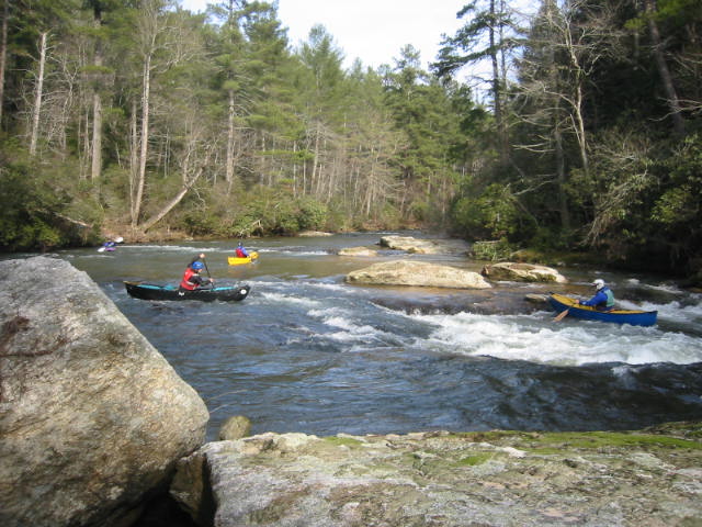
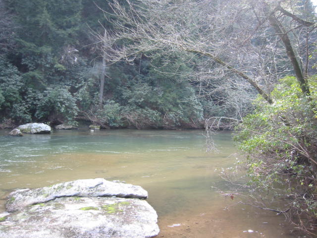
Cartecay River
Chattahoochee-Oconee National Forests
1755 Cleveland Highway
Gainesville, GA 30501
770 297-3000

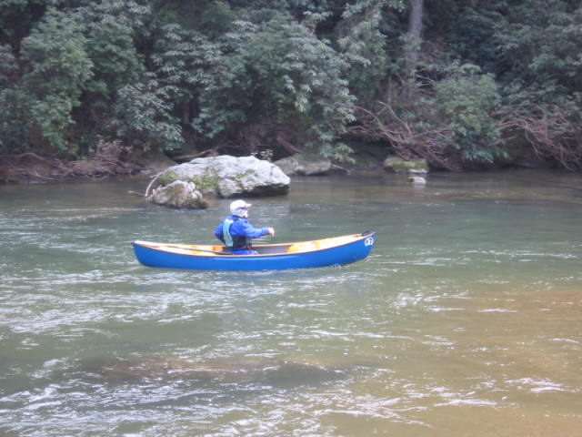
Rich Mountain Wilderness was dedicated in 1986 by the U.S. government and currently encompasses over 10,000 acres of terrain. The Chattahoochee National Forest Service manages the property which is named after 4,050′ Rich Mountain and where remnants of white settlements can still be seen just north of the summit. The sites date back to around 1910 and post-date some Indian camps that existed along the high ridgelines. In the valley, the well-known Cartecay River slices through the forest where a drainage of the Rich Mountain Wilderness produced the largest gold nugget ever found in Georgia.
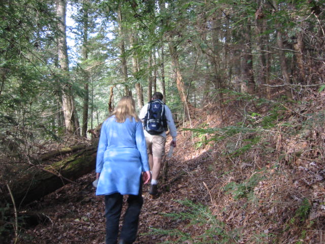
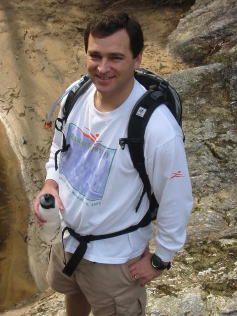
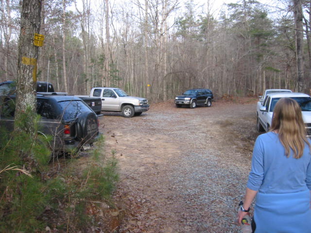
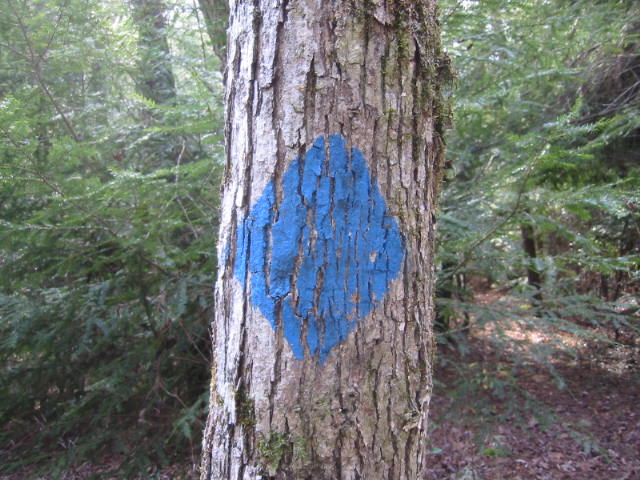
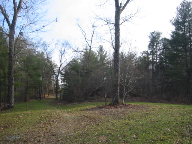
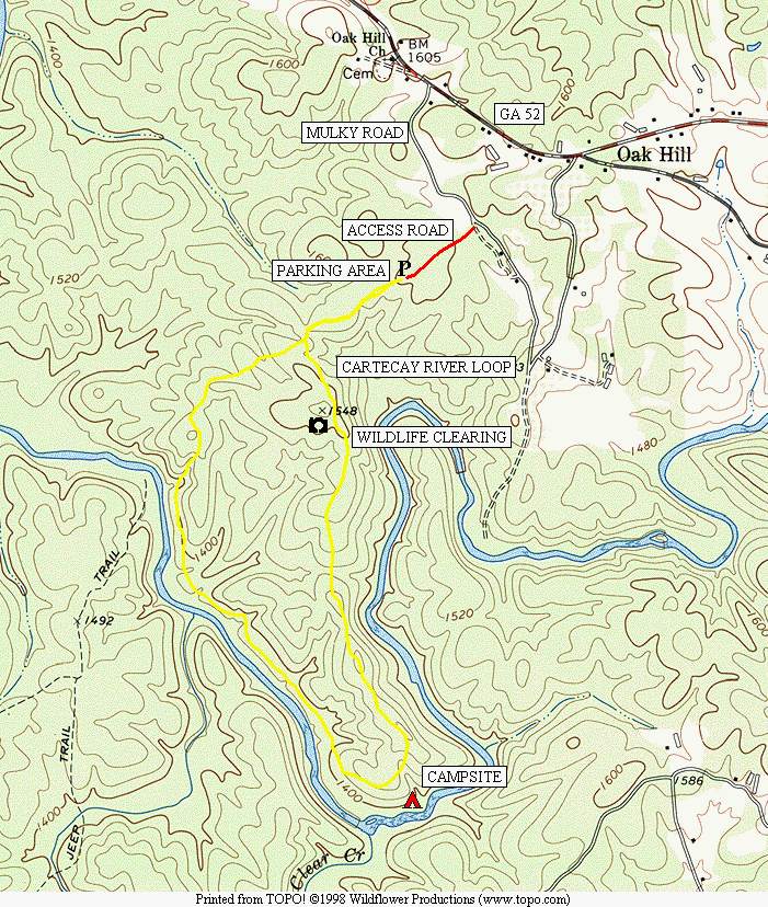
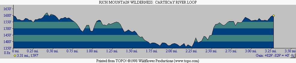
This hike to the Cartecay River is located in the Aska Trails Area and follows a route in a small tract of the Rich Mountain Wilderness that is located south of Georgia 52 and just east of Ellijay. The area is popular with bikers, hikers, paddlers and hunters and the wilderness has a number of short loop hikes that are well marked and rated moderate for hiking or backpacking. This walk along the blue-blazed River Loop Mountain Bike Trail follows a gravel 4×4 road through a clearing then descends to the Cartecay River. The trail continues along the river for another mile then makes a gradual climb back to the parking area. There are some nice views from a meadow and from a rock outcropping on the Cartecay which make this a pleasant day or overnight hike.
- click for a movie of our New Year’s Hikes from 2004-2020 (password required)
- click for more photos from this day hike along the Cartecay River: January 1, 2005
- click for a detailed trip report from this hike in the Rich Mountain Wilderness: January 1, 2005 (password required)
- click for a trip report from this walk in the Chattahoochee National Forest: January 1, 2005 (password required)
- click for a Trails Illustrated map of this area in the Chattahoochee National Forest
- click for a topographical and profile map of this backpacking trip to the Cartecay River (password required)
- click for a combined topo and profile map of this backpacking trip near Ellijay, Georgia (password required)
- click for another hike in the Rich Mountain Wilderness in December 2019
- click for a list of our hikes over the New Years holiday starting in December 2004 (password required)
- click for the guidebook Hiking Trails North Georgia for more hikes in this area
- click for more hiking and backpacking books from Georgia