Tennessee Rock
Black Rock Mountain State Park
P.O. Drawer A
Mountain City, GA 30562
Reservations (800) 864-7275
Park Office (706) 746-2141
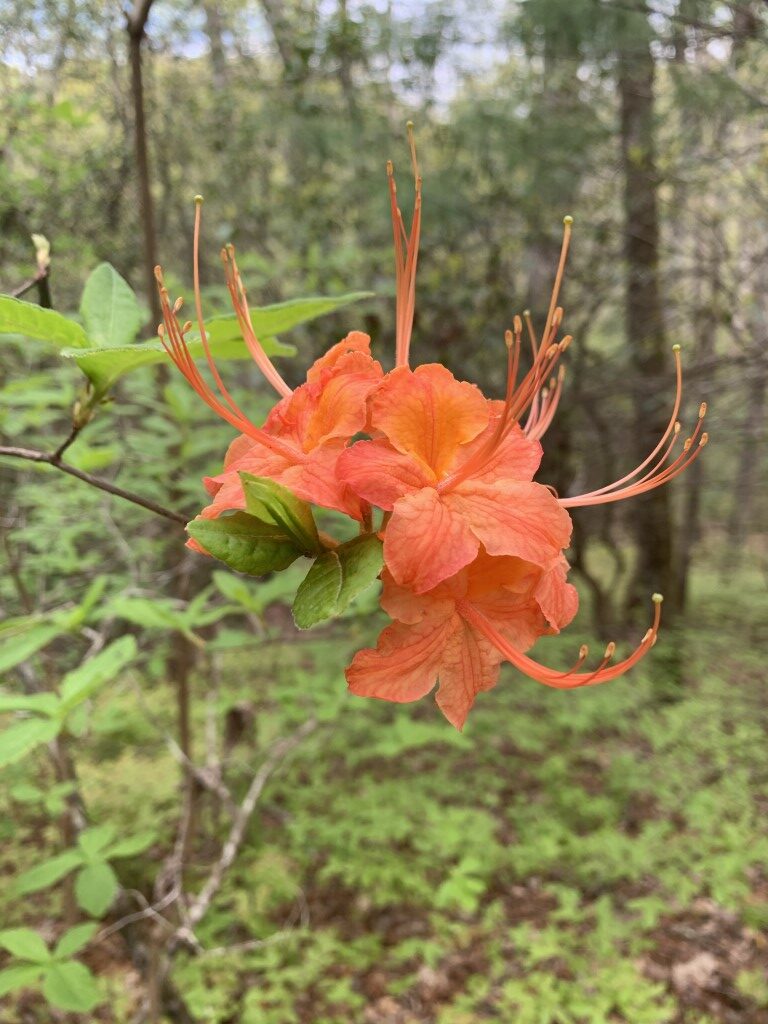
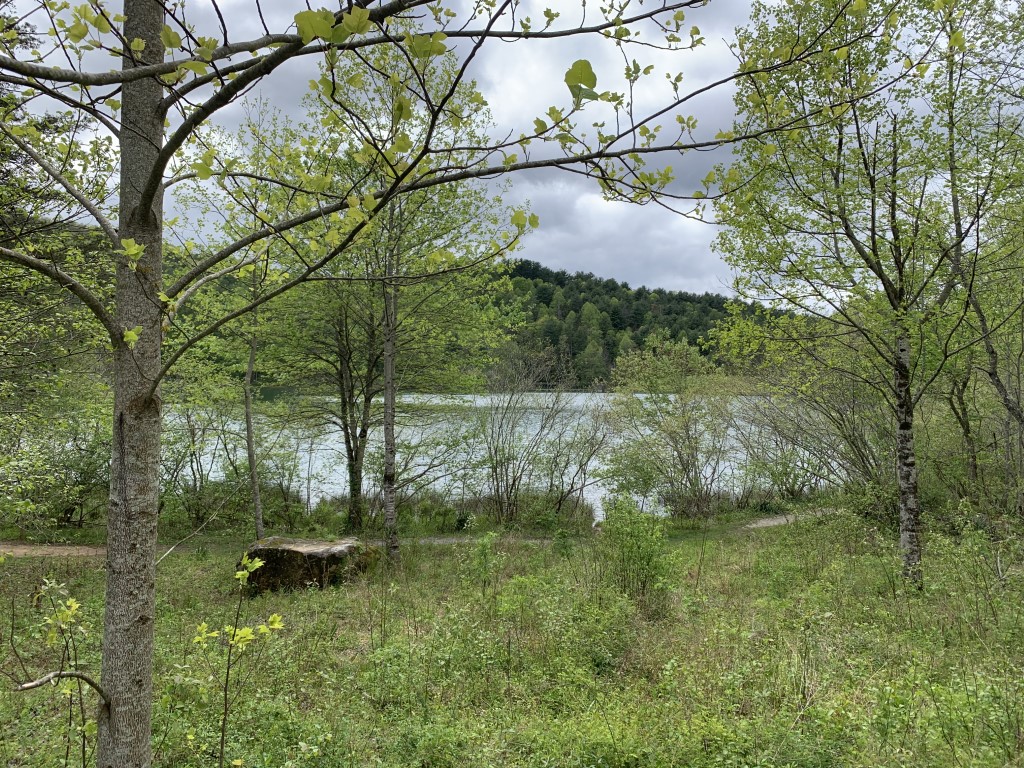
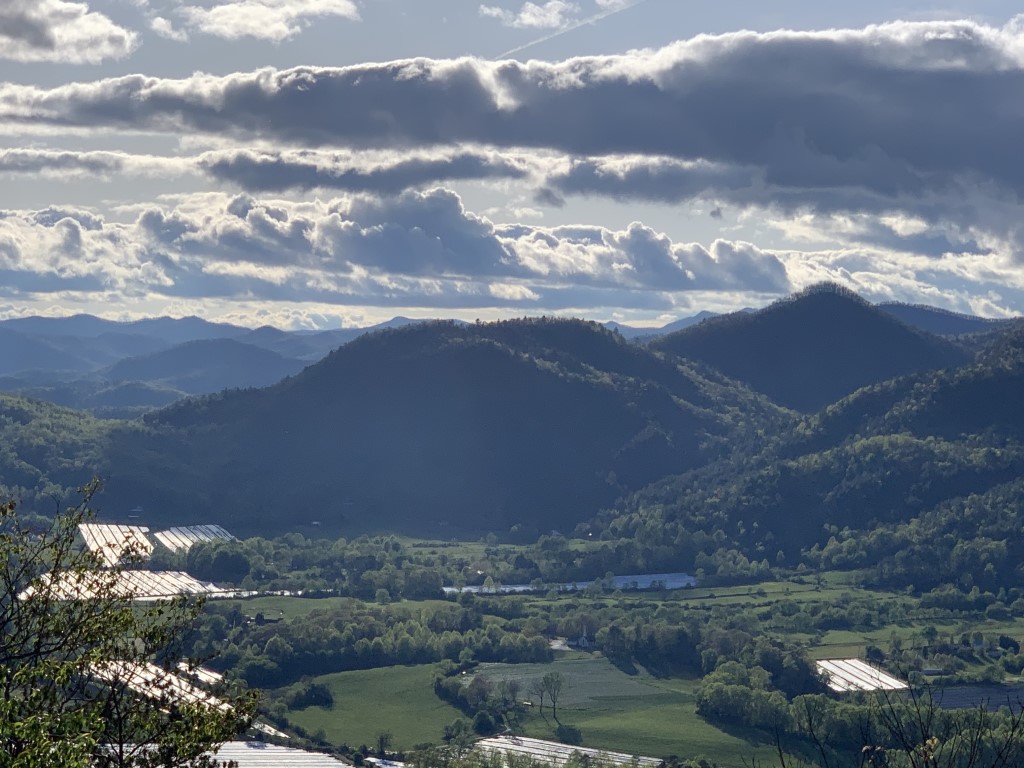
Georgia’s highest state park encompasses some of the most outstanding scenery in Georgia’s Blue Ridge Mountains. Roadside overlooks provide spectacular 80-mile vistas, and four hiking trails lead visitors past wildflowers, streams, small waterfalls and lush forests. Visitors enjoy the summit visitor center for its views, gift shop and picnic tables. Black Rock Mountain State Park is named for the sheer cliffs of dark-colored rock which are found occasionally in Georgia’s Blue Ridge Mountains. The park is located on both sides of the Eastern Continental Divide at an altitude of 3,640 feet, and Black Rock Mountain is the highest state park in the State of Georgia. Hikers will enjoy dramatic views of the Southern Appalachians, and several hiking trails lead visitors past cascading streams and waterfalls in the park.
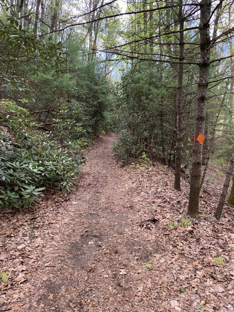
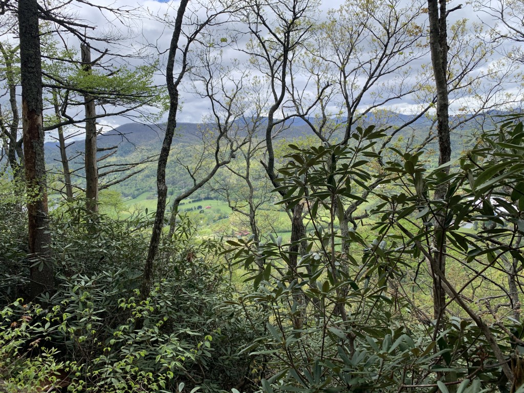
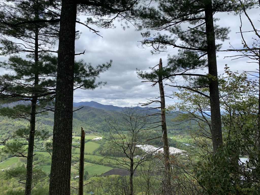
This hike along The Tennessee Rock Trail leaves the parking lot and passes a picnic area before the path disappears into a forested habitat. Winding toward the southwest, the trail gently ascends and descends along the northwestern side of Black Rock Mountain where there are excellent views down toward Clayton, Georgia. After about a mile, The Tennessee Rock Trail begins a hairpin turn as the path loops back to the northeast. It then begins a 200-foot ascent up to the summit of Black Rock Mountain Parkway, which in the winter months has excellent views of the surrounding mountains. From the summit, the trail descends gradually on the ridge of Black Rock Mountain, hugs the parkway, and winds around a small knob on the way back to the parking area.
- click for a trip report from this hike on the Tennessee Rock Trail: April 17, 2005
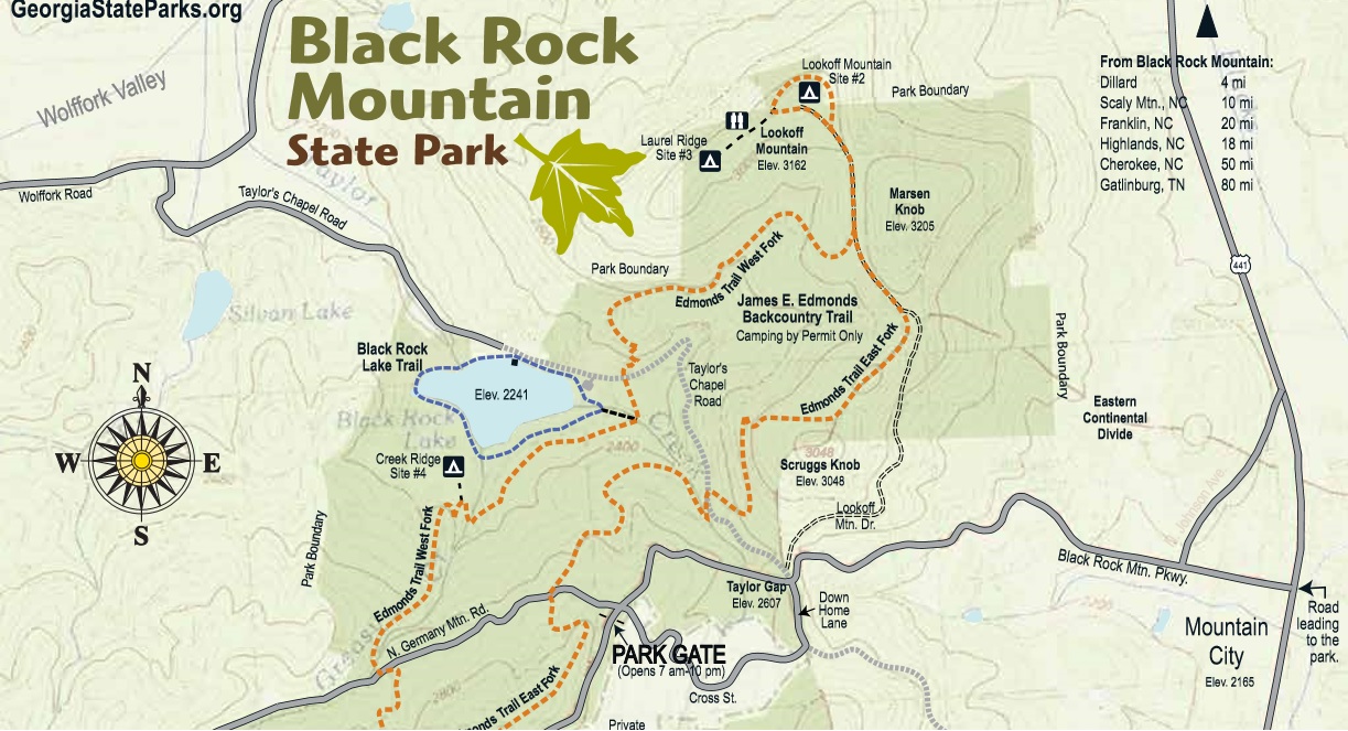
- click for a park map from Black Rock Mountain State Park
- click for a trail map of this hike on the Tennessee Rock Trail
- click for a topographical and profile map of this hike near Clayton, Georgia (password required)
- click for more hikes in Black Rock Mountain State Park in April 2020 and February 2021
- click for the guidebook Hiking Trails North Georgia for more hikes in this area
- click for more hiking and backpacking books from Georgia
- click for more hiking and backpacking trips in the State of Georgia