Appalachian Trail (Springer Mountain to Bly Gap)
Appalachian Trail Conservancy
799 West Washington Street
Harpers Ferry, WV 25425
(304) 535-6331

Springer Mountain is the southern terminus of the Appalachian Trail and 90% of thru-hikers start at this location. In Georgia, the Appalachian Trail is fairly rugged with frequent ascents and descents. From Blood Mountain, it descends steeply to Neels Gap where the A.T. passes under it’s first and only building on the entire 2100+ mile footpath. The Trail climbs gradually out of Neels Gap (and US 19) and continues northbound to Tray Mountain (4,430 feet) which is near the small town of Helen. Tray Mountain has spectacular views back to Blood Mountain, and Standing Indian is visible to the north across the border in North Carolina.
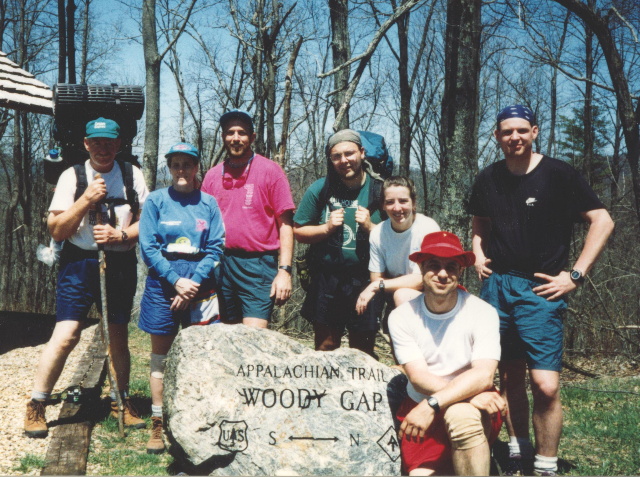
In Georgia, the Appalachian Trail is fairly rugged with frequent ascents and descents. The elevations range from 2,510 at Devil’s Kitchen to 4,461 feet at Blood Mountain, the highest point on the A.T. in Georgia. Although the trail is much lower than the neighboring states of North Carolina and Tennessee, it is still quite challenging. From Blood Mountain, it descends steeply to Neels Gap where the A.T. passes under it’s first and only building on the entire 2100+ mile footpath. Restrooms, a picnic area, a hiker hostel, and a backpacking store are located on the premises. The Trail climbs gradually out of Neels Gap (and US 19) and continues northbound to Tray Mountain (4,430 feet) which is near the small town of Helen. Tray Mountain has spectacular views back to Blood Mountain, and Standing Indian is visible to the north across the border in North Carolina. Bly Gap marks the official A.T. boundary between Georgia and North Carolina, however, and it is designated by a metal pipe with the initials GA/NC just before you reach Bly Gap.
- click for a short video slideshow of my 1994 hike on the Appalachian Trail
- click for trail photos from this backpacking trip starting at Springer Mountain: April 10-19, 1994
- click for a trail journal from this hike along the Appalachian Trail: April 10-19, 1994
- click for a Daytimer report from this backpacking trip on the A.T. in Georgia: April 10,1994 (password required)
- click for a Trails Illustrated map of this area between Amicalola Falls & Springer Mountain
- click for a trail map of the Appalachian Trail in Georgia, North Carolina, and Tennessee (password required)
- click for a Georgia Appalachian Trail overview map and profile map (password required)
- click for an ATC trail map from Amicalola Falls to Three Forks and Three Forks to Woody Gap (password required)
- click for an ATC trail map from Woody Gap to Wolf Laurel Top and Wolf Laurel Top to Chattahoochee Gap (password required)
- click for an ATC trail map from Chattahoochee Gap to Addis Gap and Addis Gap to Bly Gap (password required)
- click for an ATC profile map from Springer to Sassafrass Mountain and Sassafrass Mountain to Woody Gap (password required)
- click for an ATC profile map from Woody Gap to Wolf Laurel Top and Wolf Laurel Top to Unicoi Gap (password required)
- click for an ATC profile map from Unicoi Gap to Tray Mountain and Tray Mountain to Sassafrass Gap (password required)
- click for an ATC profile map from Sassafrass Gap to Bly Gap (password required)
- click for the guidebook Appalachian Trail: Georgia-North Carolina which has details on this area