Lake Pleasant
Lake Pleasant Regional Park
41835 N. Castle Hot Springs Rd.
Morristown, AZ 85342
Contact Station (928) 501-1710
Operations Center (602) 372-7460
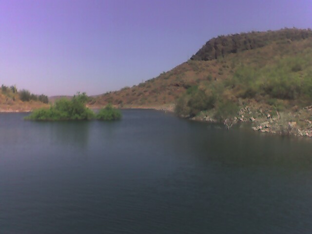
Lake Pleasant Regional Park, located at 41835 N. Castle Hot Springs Rd. in Morristown, Arizona, is a premier outdoor destination just northwest of Phoenix. This expansive park spans over 23,000 acres of desert landscape, including the 10,000-acre Lake Pleasant reservoir, making it one of the largest and most scenic recreation areas in the state .. At approximately 120,000 acres, Maricopa County is home to the largest regional park system in the United States. All trails within the Maricopa County Park System are for non-motorized use only and ten parks in the system circle the metropolitan area and all are within a 45-minute drive from downtown Phoenix.
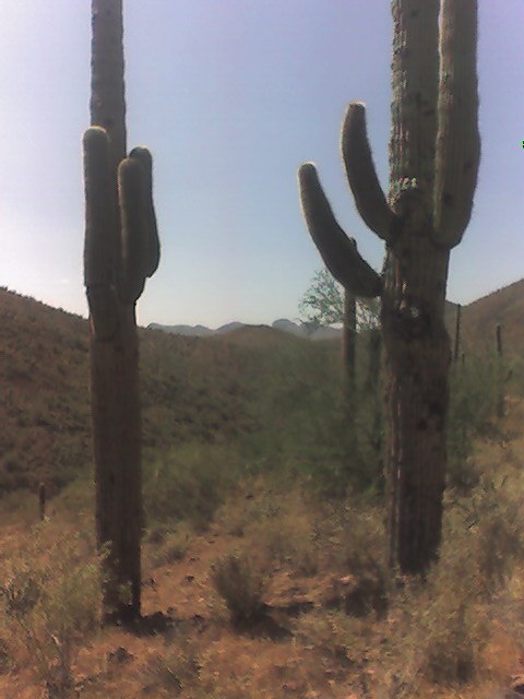
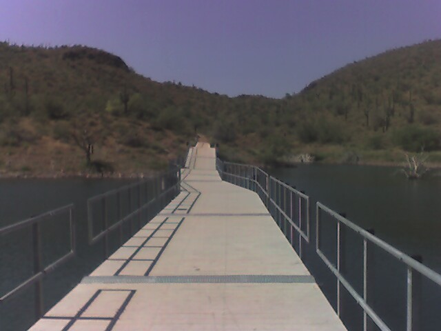
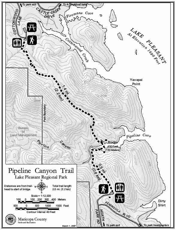
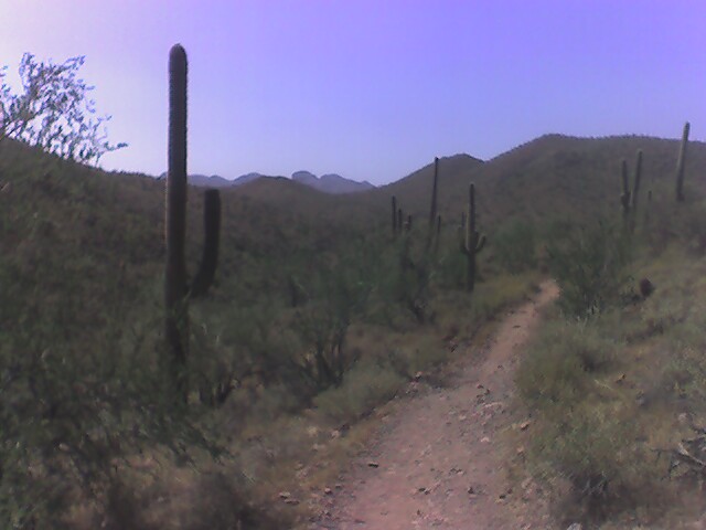
This backtrack hike is at the Lake Pleasant Regional Park north of Phoenix. It follows the Pipeline Canyon Trail down to a floating bridge over the lake, then returns to the trailhead. On the trail, there are cactus that exceed 30 feet in height and excellent views of the surrounding desert and of Lake Pleasant. The trail is well marked, well maintained and is a great way to spend an hour or more if you want to hike the entire 2 mile (4 mile roundtrip) route. Due to intense heat, and a tight schedule I opted for an abbreviated trip – but it’s enjoyable either way.
- click for more photos from this hike at Lake Pleasant: April 29, 2008
- click for a trip report from this walk on the Pipeline Canyon Trail: April 29, 2008 (password required)
- click for a park map from this hike in Lake Pleasant Regional Park
- click for a trail map from this walk on the Pipeline Canyon Trail
- click for a black and white map of this hike to Pipeline Cove
- click for a topo and profile map of this hike at Lake Pleasant
- click for the guidebook Hiking Arizona for more hikes in the State
- click for more Arizona hiking and backpacking books
- click for more hikes in the State of Arizona