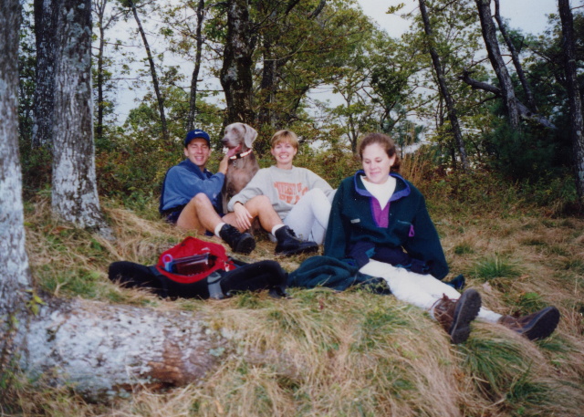
N2Backpacking
BirdShooter's Backpacking Blog & Podcast Series
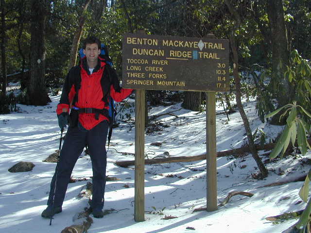
BENTON MACKAYE TRAIL – SECTION ONESpringer Mountain (So. Terminus) to Big Stamp GapBig Stamp Gap to Three Forks
BENTON MACKAYE TRAIL – SECTION TWOThree Forks to Bryson GapBryson Gap to Toccoa RiverToccoa River to GA 60
BENTON MACKAYE TRAIL – SECTION FIVEWilscot Gap to Brawley MountainBrawley Mountain to Shallowford Bridge
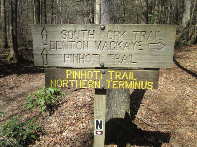
BENTON MACKAYE TRAIL – SECTION NINEDyer Gap to South Fork Trail (North End)South Fork Trail (North End) to Watson Gap – Done
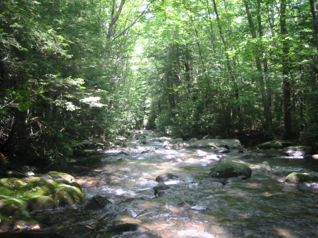
BENTON MACKAYE TRAIL – SECTION TENWatson Gap to Jacks River Trail – DoneJacks River Trail to Double Spring Gap
BENTON MACKAYE TRAIL – SECTION NINETEENStiffknee Trail to Slickrock CreekSlickrock Creek to Highway 129Highway 129 to Deals Gap
BENTON MACKAYE TRAIL – SECTION TWENTY-FOURSmokemont to Enloe Creek TrailEnloe Creek Trail to Campsite 47Campsite 47 to Straight Fork Road
BENTON MACKAYE TRAIL – SECTION TWENTY-FIVEStraight Fork Road to Beech GapBeech Gap to Laurel Gap ShelterLaurel Gap Shelter to Davenport Gap (Big Creek)
Name *
Email *
Website
Δ


Speak Your Mind